
Map of the United States of America and Detached Territories
$85.00
A Depression-era reference from a prominent national information service.
1 in stock

Description
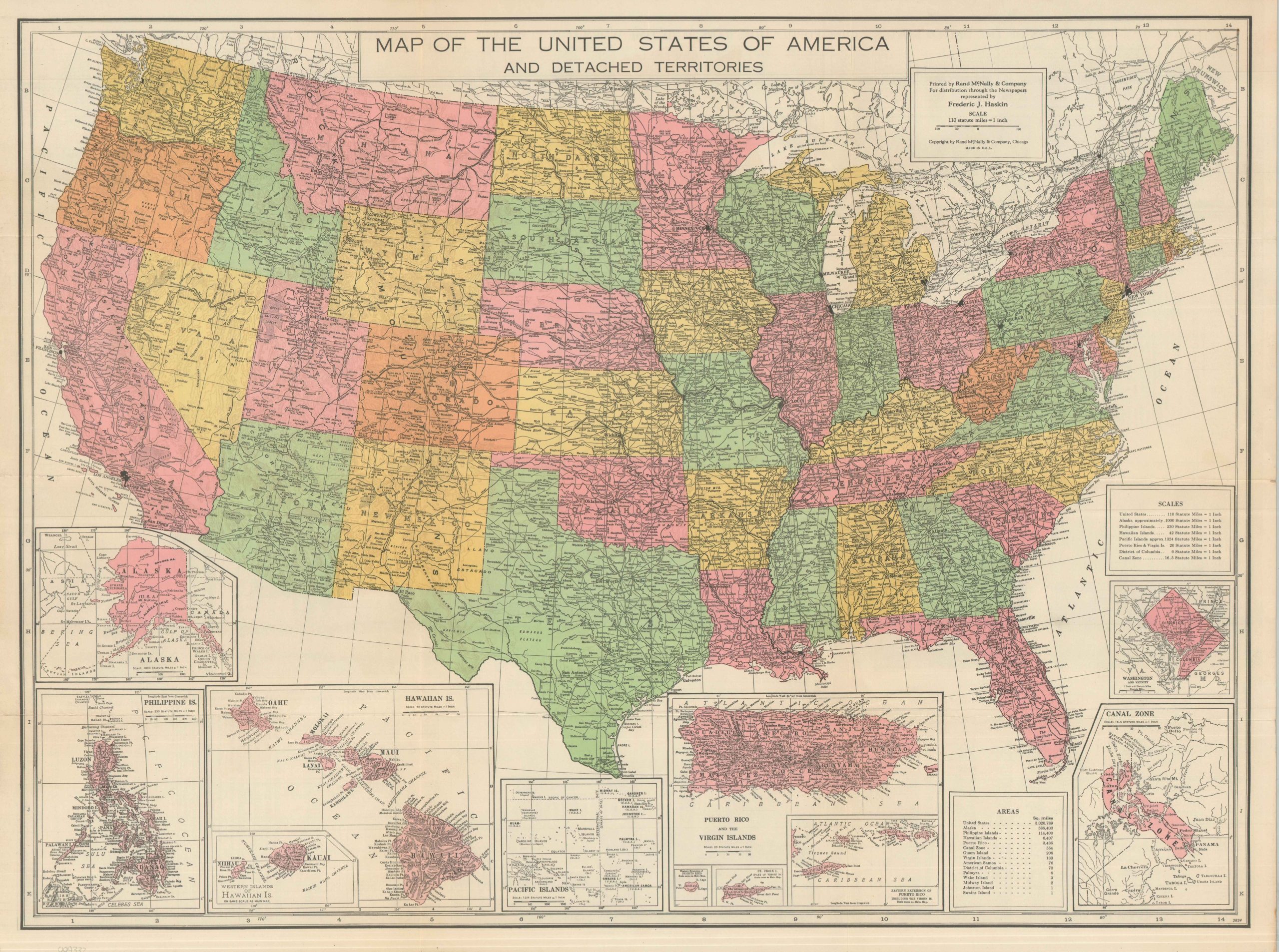
This colorful map of the United States was designed by Rand McNally & Company of Chicago. It was published, most likely in 1934 (based on population statistics and the printer’s code), for distribution to syndicated newspapers of the Haskin Information Bureau. Established by Frederic J. Haskin in 1909, the firm operated as a precursor to the modern search engine. For the price of a postage stamp, curious readers could submit questions to be answered by Haskin researchers, who became trusted sources of information across a variety of fields.
The primary image shows a map of the continental United States, emphasizing major metropolitan centers, the national railway network, and geographic features. Small insets along the lower edge present America’s empire, including Alaska, Hawaii, the Philippines, Puerto Rico, Pacific Islands, and the Canal Zone. The verso of the sheet presents a wealth of statistics, historical facts, a travel distance table, and a Map of the Heart of Washington, D.C.
Map Details
Publication Date: 1934
Author: Rand McNally & Company
Sheet Width (in): 28.10
Sheet Height (in): 21.00
Condition: A-
Condition Description: Color printed map on a double-sided sheet, creased and moderately worn along folds. A few small edge tears and light toning in the margins. Good to very good condition overall.
$85.00
1 in stock