
Atlas of the World
$110.00
A Cunard Lines world atlas published less than a decade after the sinking of the Titanic.
1 in stock




Description
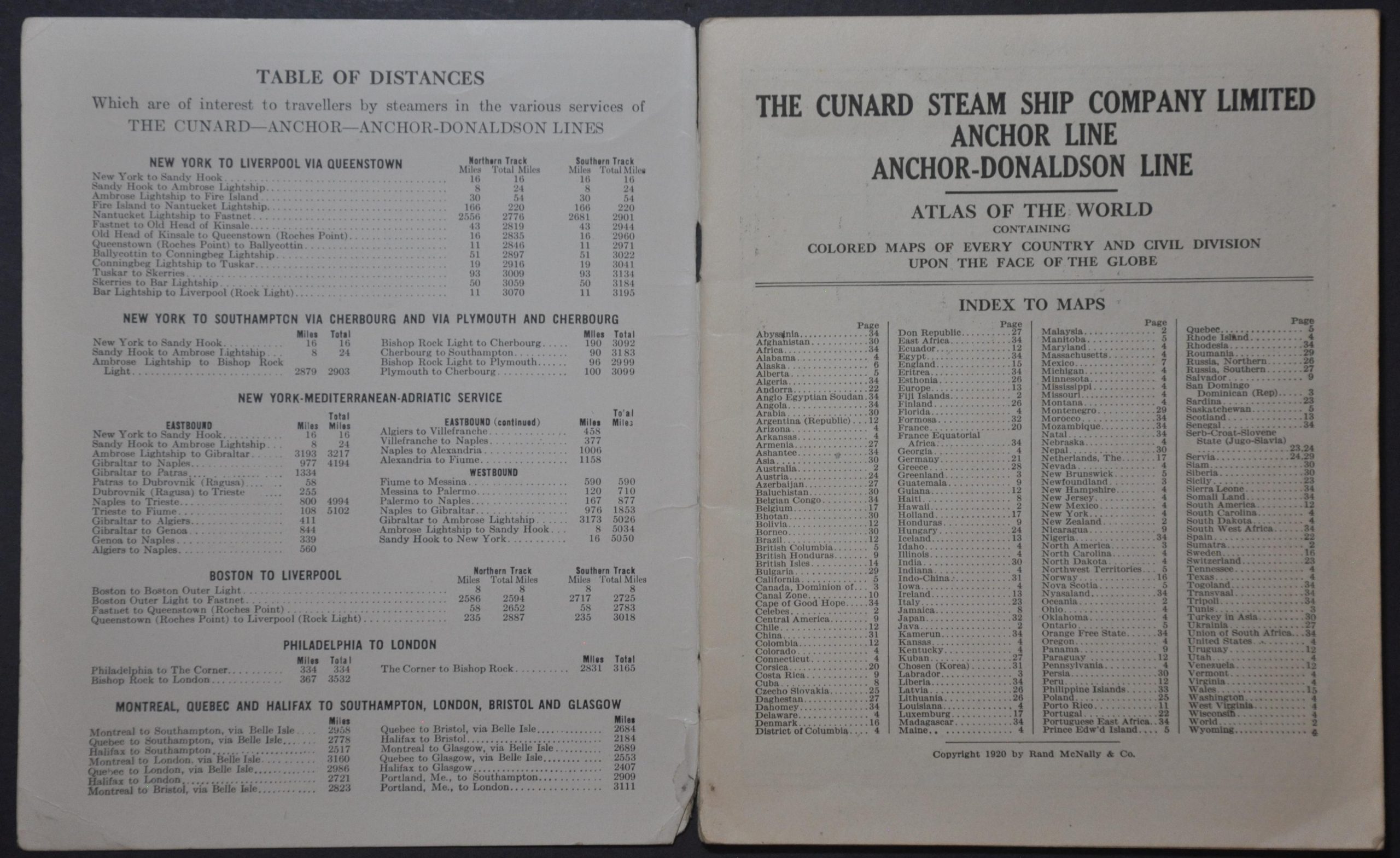
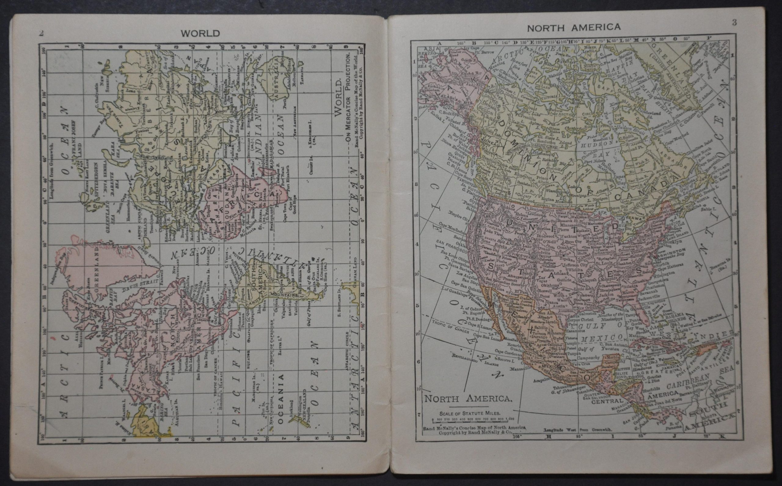
This informative little world atlas contains about thirty color-printed political maps designed by the Rand McNally Company of Chicago. It was published in 1920, compliments of the Cunard Lines and its subsidiaries, possibly to re-orient the traveling audience after the company relocated its home port from Liverpool to Southampton the year prior.
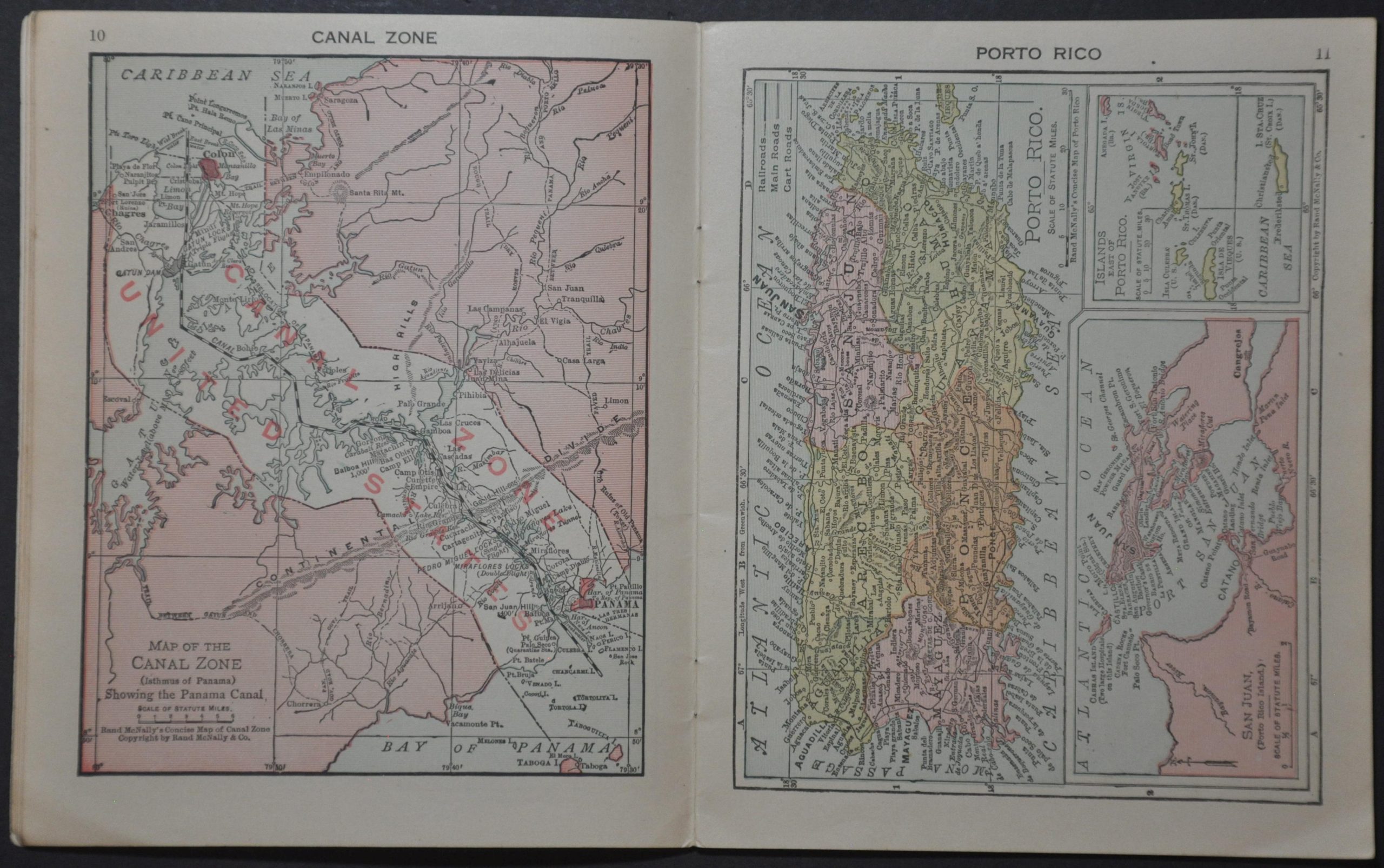
Single-page maps cover an interesting variety of independent nations and geopolitical regions, ranging in scope from the Panama Canal Zone to the entirety of Africa. Post-Versailles political borders are noted, where applicable, including the ‘Serb-Croat-Slovene State’ (Yugoslavia, in 1929), south of Austria and Hungary.
The centerfold presents a map of the world during the Interwar Period, with direct service and connections noted (in addition to several railroads). The accompanying text describes the S.S. Aquitania and offers an index of the largest cities in the world.
Map Details
Publication Date: 1920
Author: Rand McNally
Sheet Width (in): 5.75
Sheet Height (in): 7
Condition: A-
Condition Description: 36 pp. pocket atlas with stapled binding and original glossy paper wraps. Rubbing and wear along the spine and light scattered soiling, consistent with age and use. Very good condition overall.
$110.00
1 in stock