Water
Showing 109–126 of 416 resultsSorted by latest
-

English Channel (La Manche) Eastern Sheet
$850.00 Quick View -
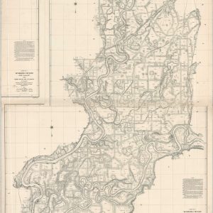
Wabash River and Valley from Terre Haute, Ind. to Mouth
$350.00 Quick View -
Sold Out
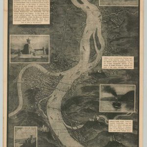
Rhine Panorama for the Men of the American Army of Occupation
Quick View -
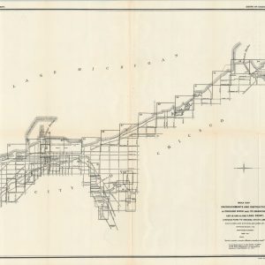
Encroachments and Obstructions in the Chicago River and on the Chicago Lake Front
$2,000.00 Quick View -
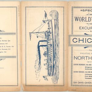
Special World’s Fair Excursion to Chicago via Palatial Steamer North King
$75.00 Quick View -
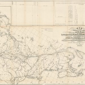
Map of the Province of Canada and the Lower Colonies Shewing the Connection by Steam Navigation with New York, Pennsylvania, Ohio, Indiana, Illinois, Michigan, Wisconsin, & Minnesota, and with Europe…
$450.00 Quick View -
Lake Survey Center Recreational Craft Series Chart No. 750 Chicago and South Shore of Lake Michigan
$75.00 Quick View -
Sold Out
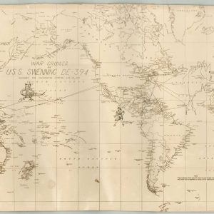
War Cruises of U.S.S. Swenning DE-394
Quick View -
North German Lloyd [Transportation Map of Europe]
$145.00 Quick View -
“Davy Jones’s Locker.”
$75.00 Quick View -
Map of the Vicinity of the Golden Gate San Francisco Bay California
$75.00 Quick View -
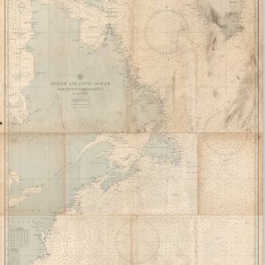
North Atlantic Ocean Northwestern Sheet
$125.00 Quick View -
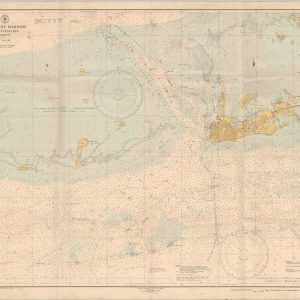
Key West Harbor and Approaches
$125.00 Quick View -
Hudson River Fort Washington Point to Yonkers Anchorage Chart “K” Sheet 2
$450.00 Quick View -
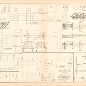
Drawings of Canvas Pontoon Boats, Bridges and Chess Wagons; Drawings of Rifled Projectiles used by the Rebels in the Virginia Campaign of 1864;
$75.00 Quick View -
Sold Out
Burns Philp Line Australia Java Singapore
Quick View -
Sold Out
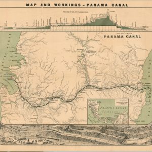
Map and Workings – Panama Canal
Quick View -
Sold Out
Maps Showing Routes of the Pacific Steamship Company
Quick View


![North German Lloyd [Transportation Map of Europe]](https://curtiswrightmaps.com/wp-content/uploads/map_27.09x31.81_10-30-24_inv6430c-300x300.jpg)


show blocks helper