
Key West Harbor and Approaches
$125.00
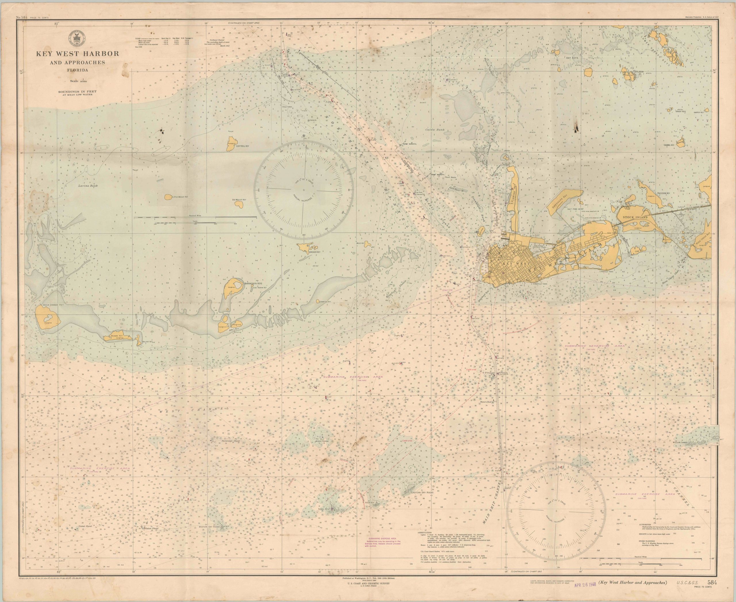
Postwar nautical chart of Key West, Florida.
1 in stock
Description
This detailed navigational chart of the approaches to Key West, Florida was originally created by the United States Coast and Geodetic Survey in 1940. A rubber stamp in the lower right indicates this example has published updates through April 1948. Depth soundings are noted throughout the image, which also labels various locations of interest and geographic features. Of particular interest are the large regions labeled Submarine Exercise Area. Text in the lower center encourages vessels to proceed with caution.
Map Details
Publication Date: 1948
Author: U.S. Coast and Geodetic Survey
Sheet Width (in): 43.25
Sheet Height (in): 35.25
Condition: B
Condition Description: Several spots of staining visible in the upper and lower center of the sheet (see scan), with additional soiling near the title in the upper left. Printed on thick paper that shows moderate creasing along old fold lines. Between fair and good condition overall.
$125.00
1 in stock