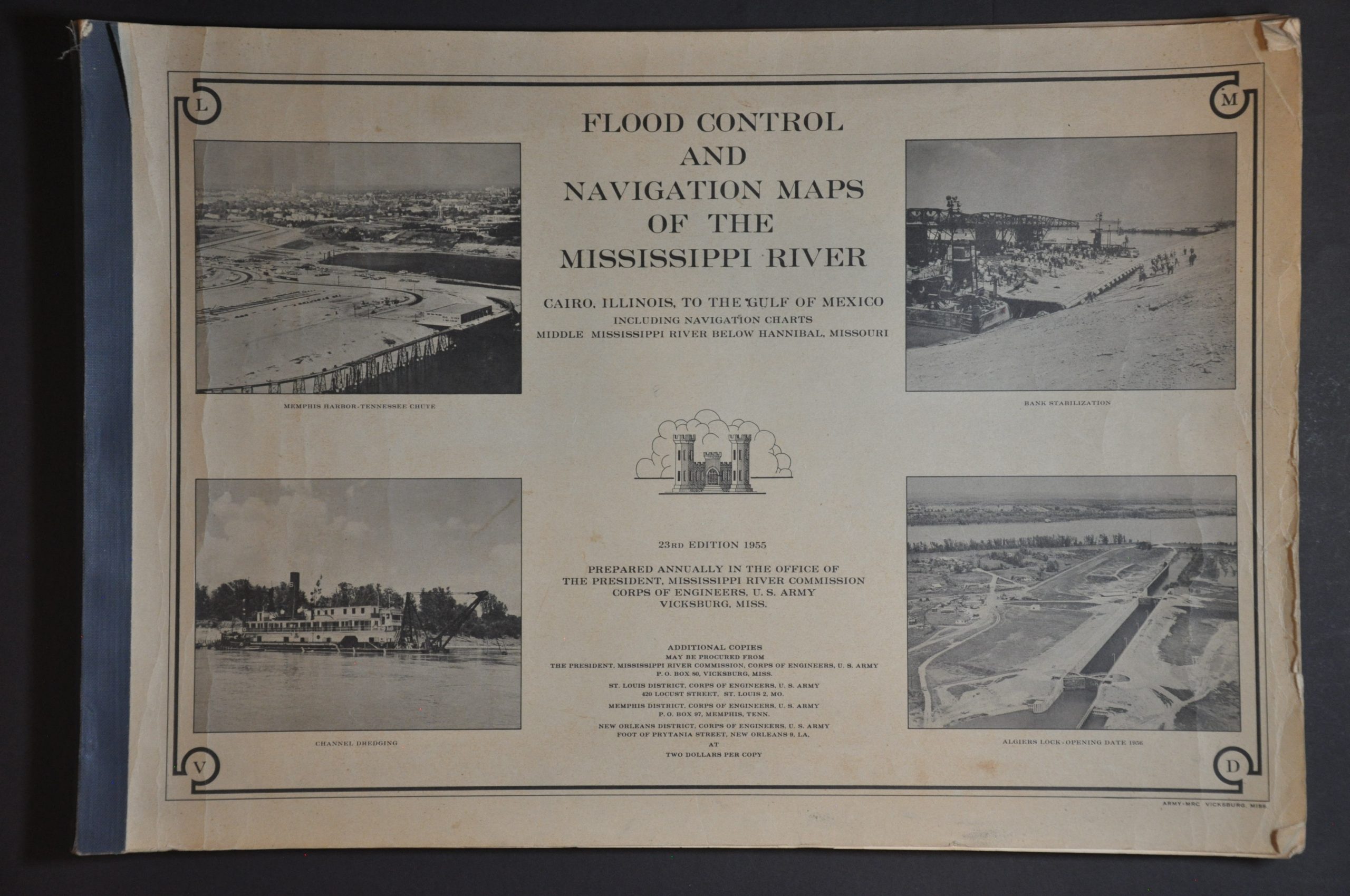
Flood Control and Navigation Maps of the Mississippi River Cairo, Illinois to the Gulf of Mexico
Mid-century improvements along the Mississippi River by the Army Corps of Engineers.
Out of stock


Description
This incredible collection of Mississippi River maps and charts reflects the immense 20th century efforts of the Army Corps of Engineer Mississippi River Commission to maintain the vital waterway. The first levee had been built by the French in 1717, and since that time incalculable manpower had been expended to try and control the flow of water, and, by extension, commerce and military security.
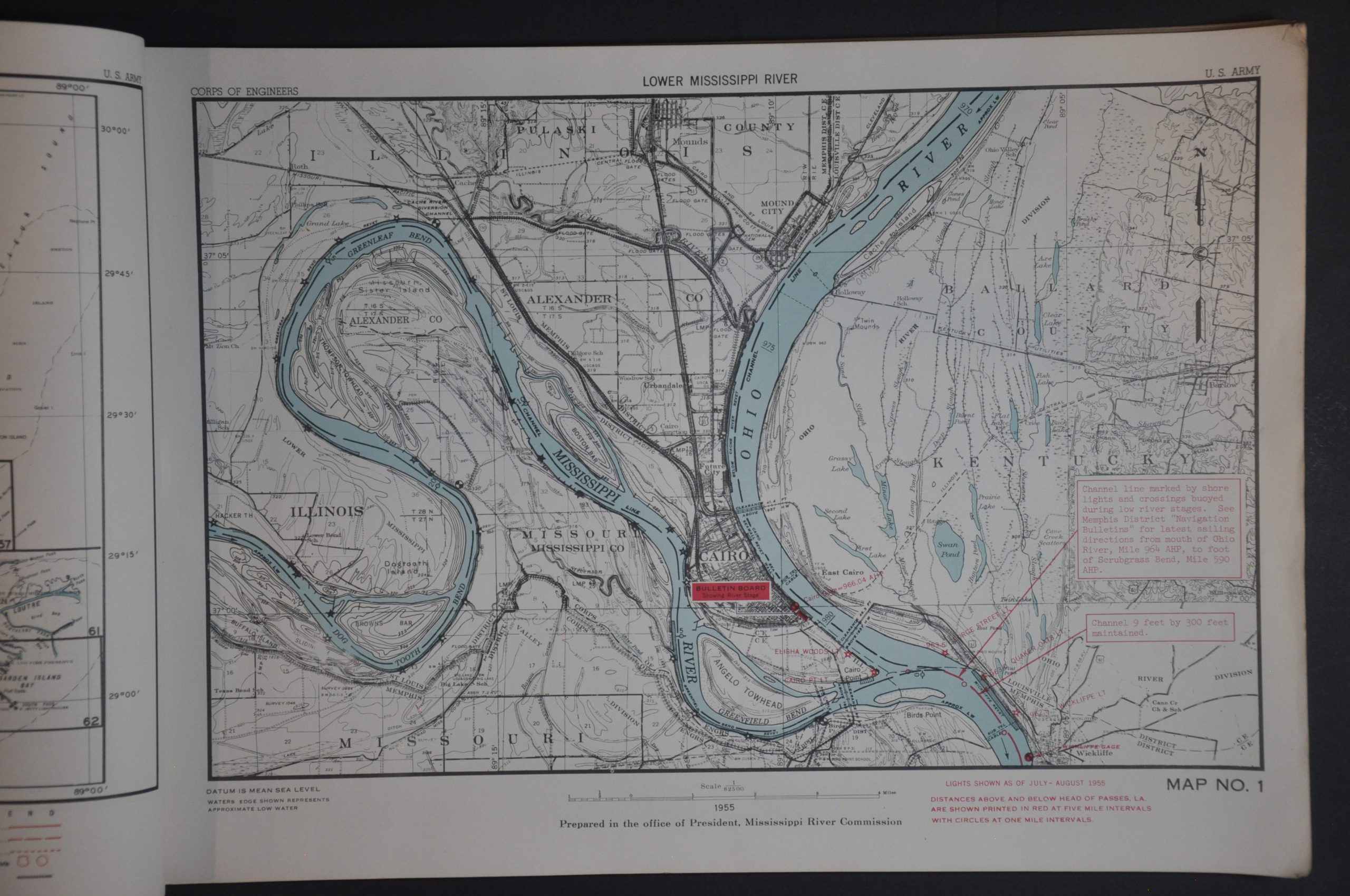
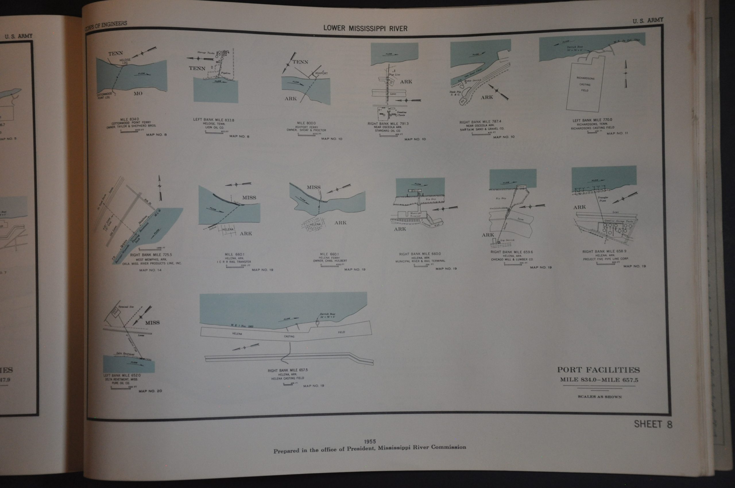
The volume provides a detailed overview of the river between its juncture with the Ohio, near Cairo, and the Gulf of Mexico. Navigational aids are identified with bright red overprinting throughout, in addition to prominent geographic features and relevant infrastructure. Maintaining the Mighty Mississippi requires constant attention. This annual volume was published in 1955 and reflects the recent completion of the navigable 9 ft. channel, the start of Old River control structures, and the building of extensive levees to protect Mississippi Valley residents from flooding. Such efforts were validated on the final page, which shows total tonnage for 1954 exceeding all years from the previous decade.
Source: U.S. Army Corps of Engineers
Map Details
Publication Date: 1955
Author: United States Army Corps of Engineers
Sheet Width (in): 19.75
Sheet Height (in): 13.5
Condition: B+
Condition Description: 103 page booklet with stapled binding in original illustrated stiff paper wraps (4 pages of indices, 65 single page maps, and 34 pages of profiles and diagrams). Scattered wrinkling, creased corners, and moderate toning throughout the contents. Wear is concentrated most heavily along the fore-edge and each sheet remains legible. Generally in pretty good condition overall.
Out of stock