Missouri
Showing 1–18 of 170 resultsSorted by latest
-

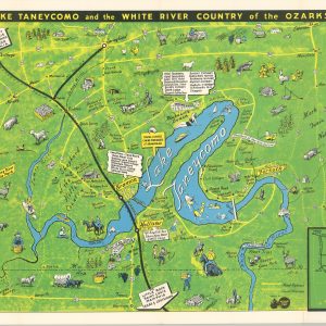
Lake Taneycomo and the White River Country of the Ozarks
$195.00 Quick View -
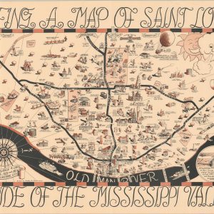
Being a Map of Saint Louis Known as the Mound City Pride of the Mississippi Valley and Quite a Pleasant Place
$350.00 Quick View -
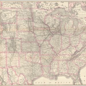
Map of the Chicago-Milwaukee & St. Paul Railway and Connections
$300.00 Quick View -

Map Showing Industrial Tracks and Connections to Alton and Southern R.R.
$200.00 Quick View -

Map Showing Chicago, Burlington & Quincy R.R., Great Northern Railway System, Northern Pacific Railway System, Spokane, Portland & Seattle Railway, Colorado & Southern Railway Lines, Trinity & Brazos Valley Railway
Quick View -

Rand McNally & Co’s Indexed Atlas of the World Map of St. Joseph
$95.00 Quick View -
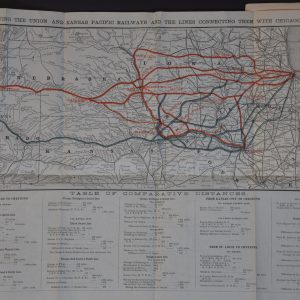
Argument of Thomas F. Withrow, Esq. on Behalf of the Lines Connecting with the Union Pacific Railroad, at Council Bluffs
$175.00 Quick View -

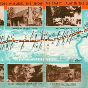
Travel the Short Route Chicago to Kansas City U.S. Highways 66 – 36 – 69
$350.00 Quick View -
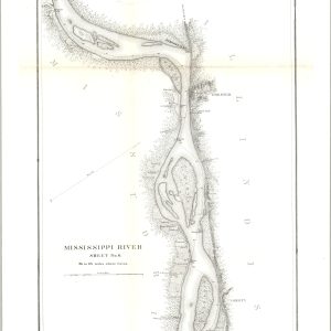
Mississippi River [Sheets No. 2 – 6]
$700.00 Quick View -
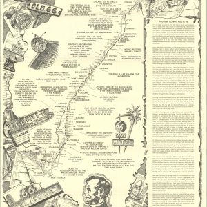
Here It Is! Route 66 The Map Series [Complete Set of 8]
Quick View -
Drive U.S. 66 Across the Scenic West
$95.00 Quick View -
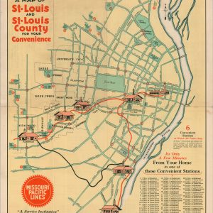
A Map of St. Louis and St. Louis County for Your Convenience
$185.00 Quick View -
Official Territorial Road Map Central United States
$95.00 Quick View -
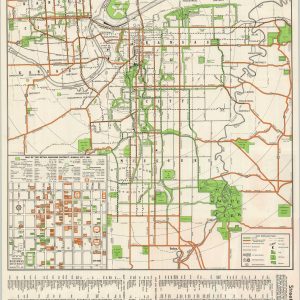
Map of Greater Kansas City “The Heart of America”
$95.00 Quick View -
Section No. 2 Cram’s Highway Map of the Central States Illinois Indiana Michigan Wisconsin And portions of Minnesota, Iowa, Missouri, Kentucky, and Ohio
$110.00 Quick View -
Central Section Pikes Peak Ocean to Ocean Highway
$165.00 Quick View -
Rand McNally Official Auto Trails Map District No. 1
$245.00 Quick View -
G.M. Hopkins’ Map of Kansas City, Missouri
$1,350.00 Quick View