
Official Territorial Road Map Central United States
$95.00
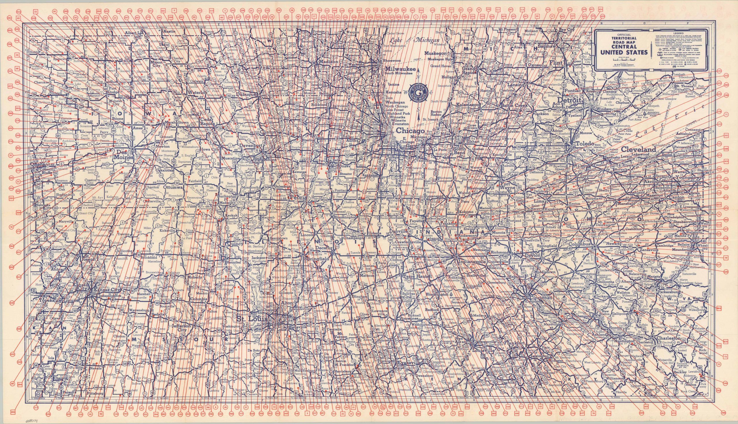
One of the most visually aggressive maps I’ve ever seen!
1 in stock
Description
This striking piece of commercial cartography was published by the H.M. Gousha Company of Chicago around 1930. A relatively mundane map of the Midwest between Ohio and Nebraska, printed in blue, identifies the variations in road surfaces across the region’s network of highways. Locations of interest and distances between points are also noted. However, the application of vibrant red overprint suggests an altogether different function. Scores of lines cleanly traverse the image, each connected to a number in the margins – a business index of some sort, perhaps?
Map Details
Publication Date: c. 1930
Author: H.M. Gousha Company
Sheet Width (in): 32.90
Sheet Height (in): 18.90
Condition: A-
Condition Description: Single-sided map with moderate wear along old folds and the outer edges of the sheet. A few clean splits and marginal tears, repaired on verso with archival tape. Good to very good condition overall.
$95.00
1 in stock