Kentucky
Showing 1–18 of 87 resultsSorted by latest
-

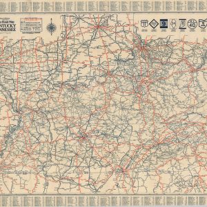
Kentucky & Tennessee
$75.00 Quick View -
![Rand McNally Official 1922-1923 Auto Trails Map District No. 1 [and] District No. 2](https://curtiswrightmaps.com/wp-content/uploads/map_30.31x34.51_04-25-26_inv008407c-300x300.jpg)
Rand McNally Official 1922-1923 Auto Trails Map District No. 1 [and] District No. 2
$165.00 Quick View -
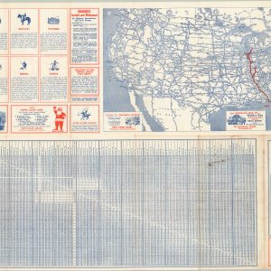
Travel the North-South Fast Route from the Great Lakes to Florida
$95.00 Quick View -
Rand McNally Official 1929 Auto Road Map Kentucky Tennessee
$125.00 Quick View -
![Kentucky and Tennessee [and] Pennsylvania](https://curtiswrightmaps.com/wp-content/uploads/map_14.69x18.39_04-13-26_inv008575c-300x300.jpg)
Kentucky and Tennessee [and] Pennsylvania
$85.00 Quick View -
![Canada Louisiane et Terres Angloises [Southeastern U.S.]](https://curtiswrightmaps.com/wp-content/uploads/map_22.95x33.37_04-14-26_inv008527c-300x300.jpg)
Canada Louisiane et Terres Angloises [Southeastern U.S.]
$500.00 Quick View -
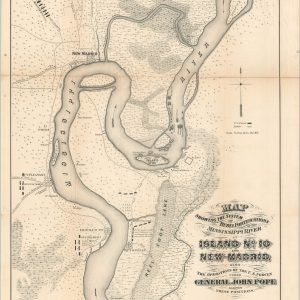
Map Showing the System of Rebel Fortifications on the Mississippi River at Island No. 10 and New Madrid also the Operations of the U.S. Forces under General John Pope Against these Positions.
Quick View -
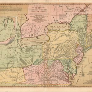
Bowles’s New One-Sheet Map of the Independent States of Virginia, Maryland, Delaware, Pensylvania, New Jersey, New York, Connecticut & Rhode Island. &c
$1,800.00 Quick View -

Mammoth Cave National Park Kentucky
$50.00 Quick View -
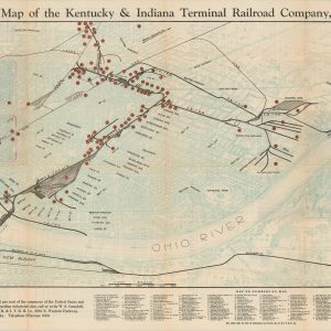
Industrial Map of the Kentucky & Indiana Terminal Railroad Company, Louisville
$375.00 Quick View -

Report of the Committee on Education and Labor…Private Police Systems Harlan County, KY. Republic Steel Corporation
$225.00 Quick View -
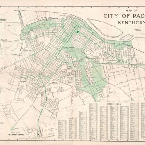
City of Paducah, Kentucky
$95.00 Quick View -
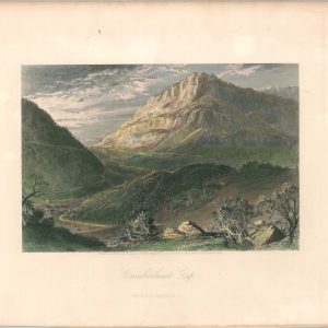
Cumberland Gap
Quick View -
![[Printer's Block of Primary Interstates to Cincinnati]](https://curtiswrightmaps.com/wp-content/uploads/DSC_1688-1-300x300.jpg)
[Printer’s Block of Primary Interstates to Cincinnati]
$60.00 Quick View -
Sale!
![[Group of Lease Agreements from the Southern Indiana Interurban Railway Company and the Louisville & Jefferson Bridge Company]](https://curtiswrightmaps.com/wp-content/uploads/DSC_1700-1-300x300.jpg)
[Group of Lease Agreements from the Southern Indiana Interurban Railway Company and the Louisville & Jefferson Bridge Company]
Original price was: $600.00.$475.00Current price is: $475.00. Quick View -
A Collection of Interesting Maps by John G. Brink
Quick View -
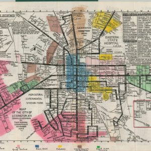
Lexington At Your Fingertips
Quick View -
![[Parts of Missouri, Arkansas, Tennessee, Kentucky, and Illinois during the American Civil War]](https://curtiswrightmaps.com/wp-content/uploads/map_29.07x18.17_07-19-24_plate_cliii-300x300.jpg)
[Parts of Missouri, Arkansas, Tennessee, Kentucky, and Illinois during the American Civil War]
$75.00 Quick View