
A Collection of Interesting Maps by John G. Brink
A series of pictorial maps illustrated by the ‘Father of the Road Map,’ John G. Brink.
Out of stock


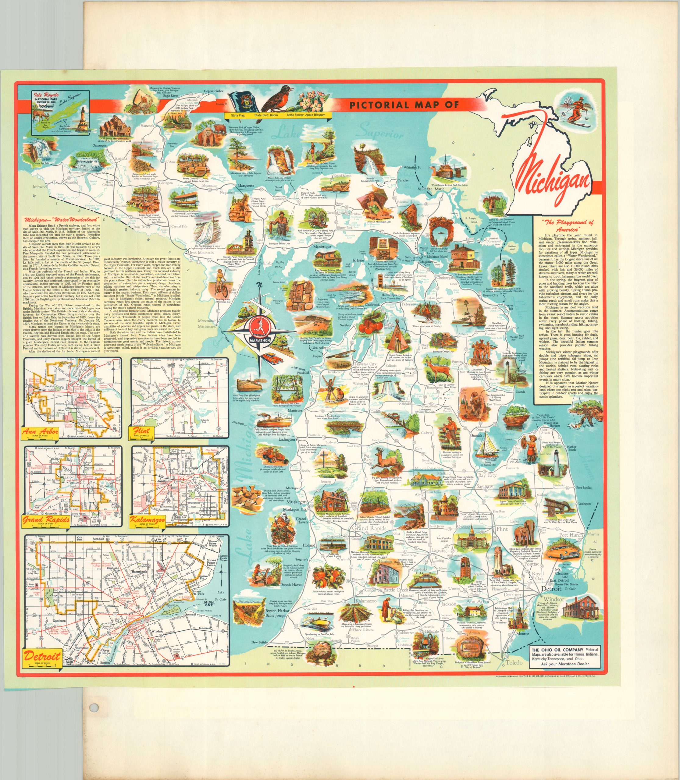
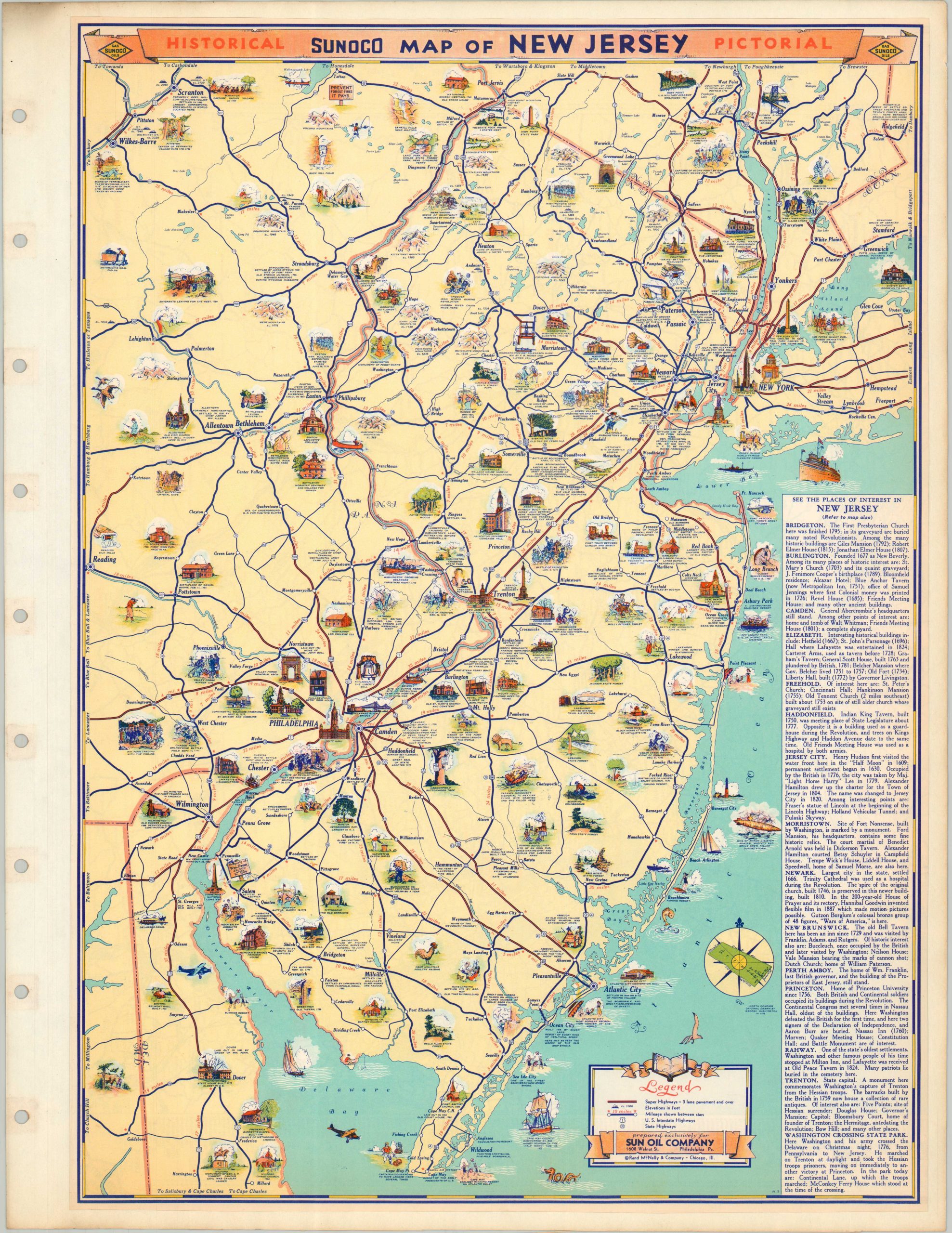
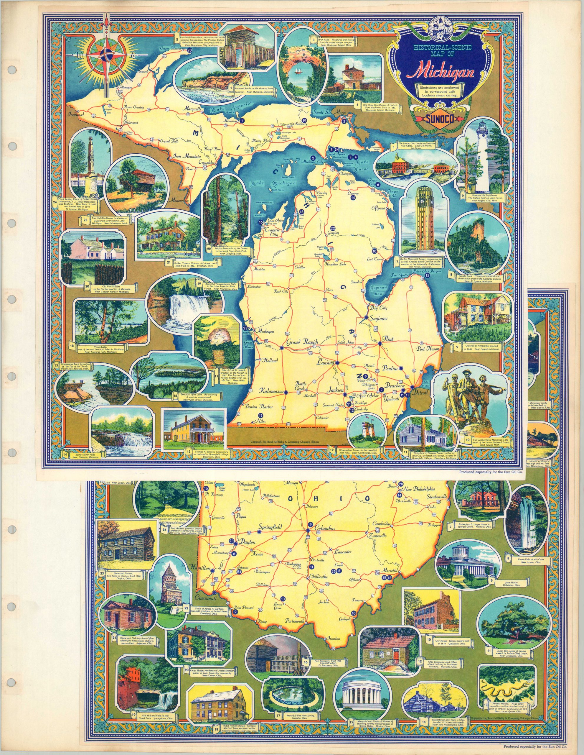
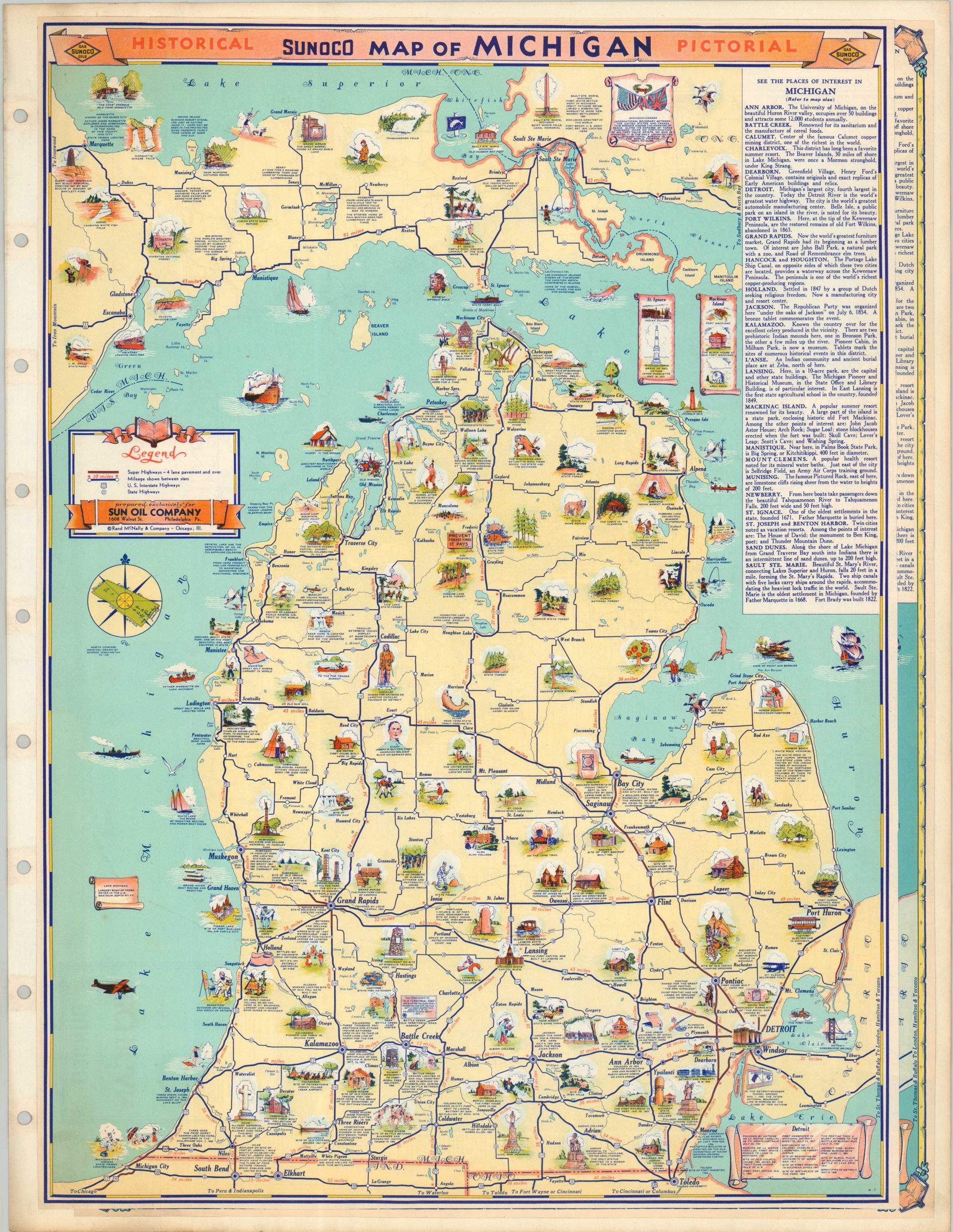
Description
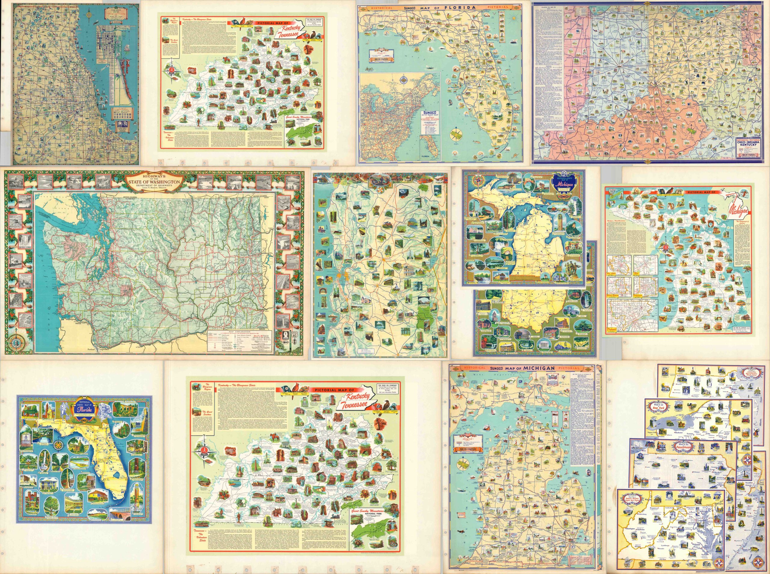
This portfolio of beautiful pictorial road maps was compiled and assembled by John G. Brink of the Rand McNally Company. The collection represents about two decades (1930 – 1950) of Brink’s work at the iconic Chicago-based mapmaking firm, though his tenure there precedes the first map by at least another thirteen years. Each page contains a vivid reflection of mid-century automobile tourism before the ubiquitous (and somewhat lifeless) gas station road maps took over the glove box.
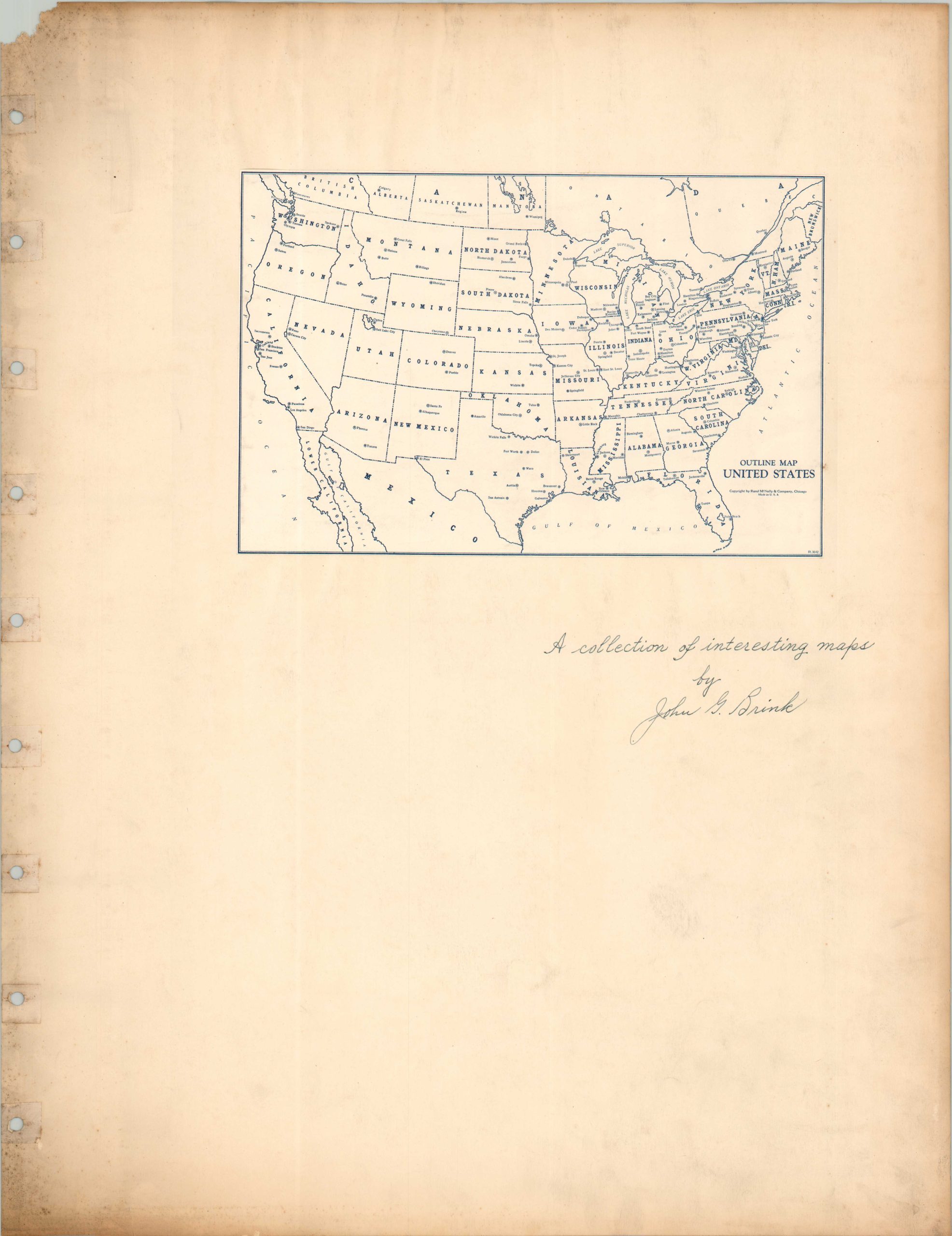
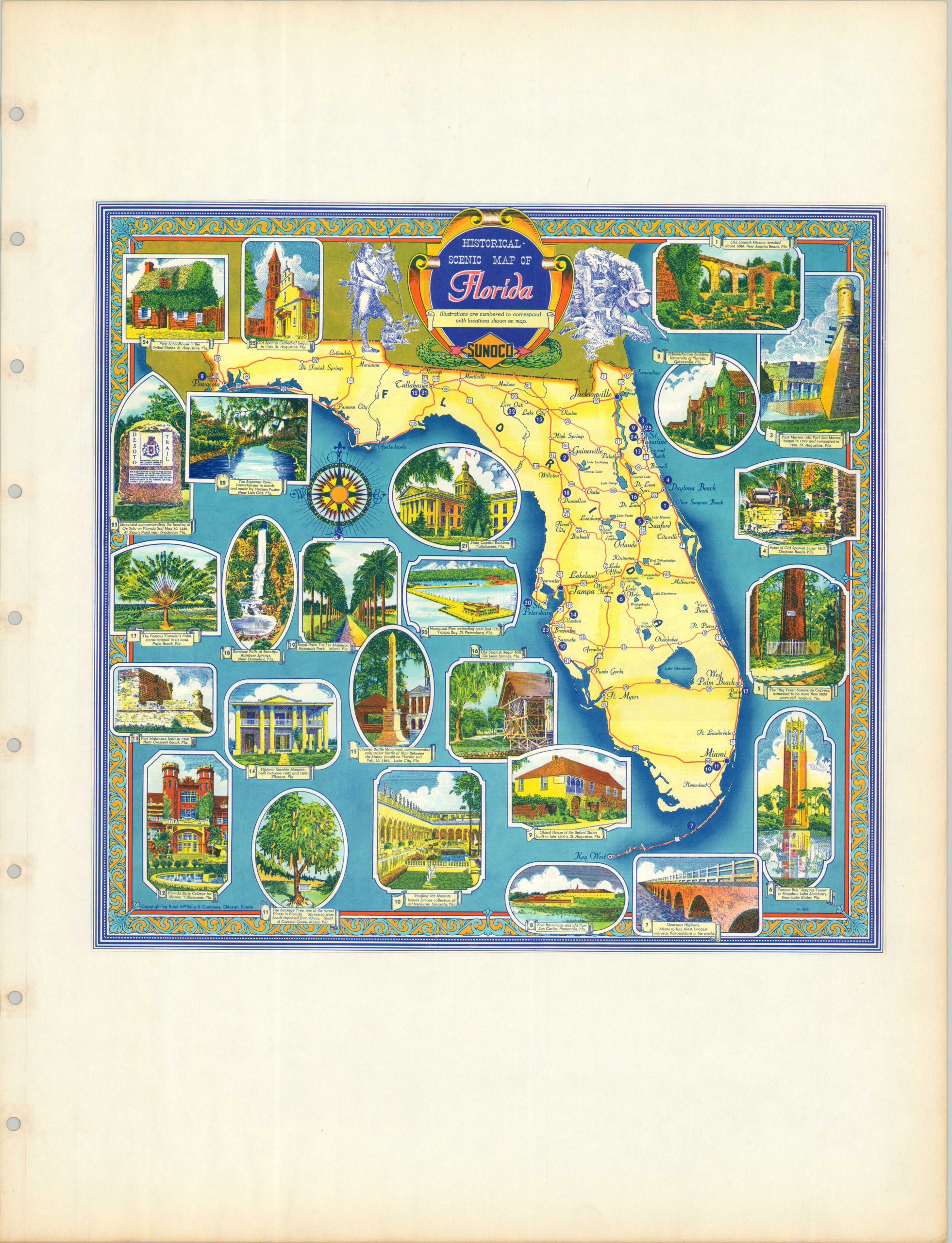
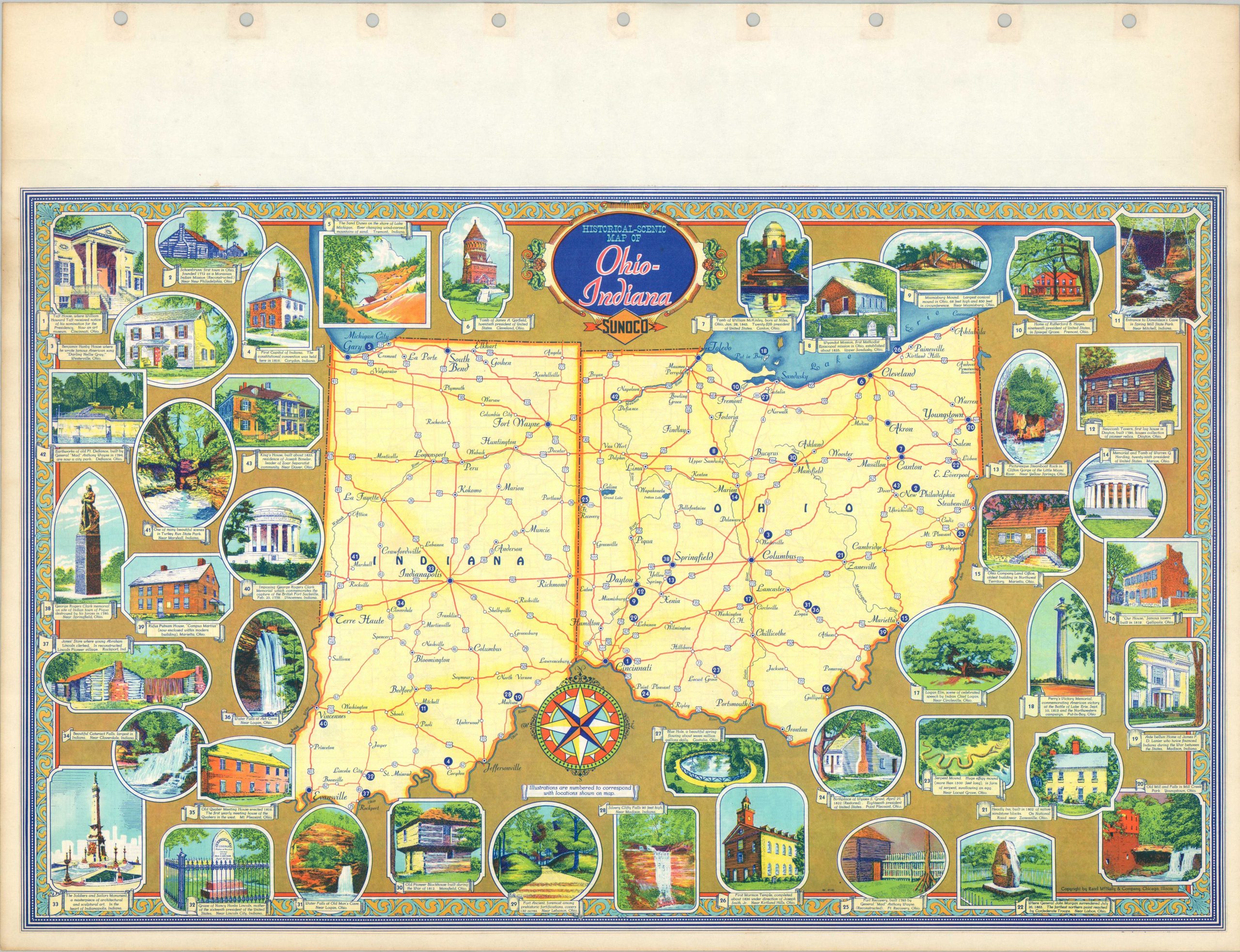
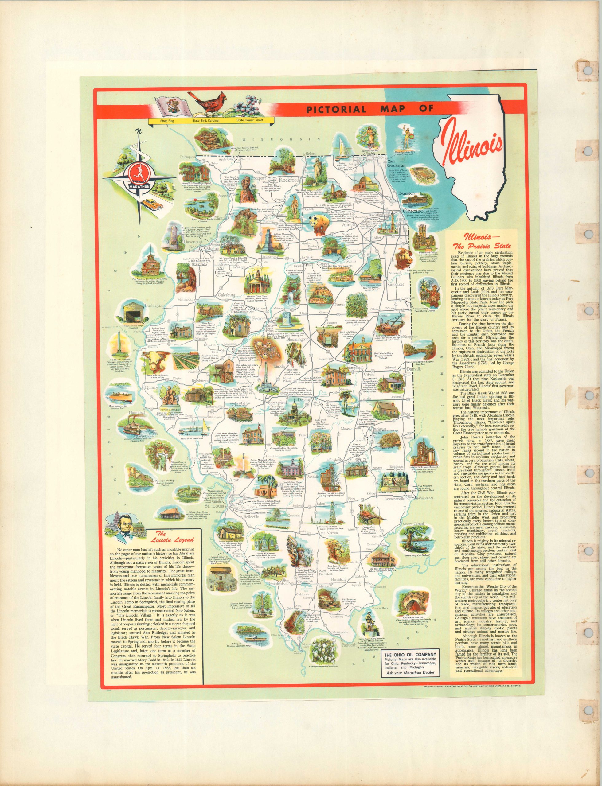
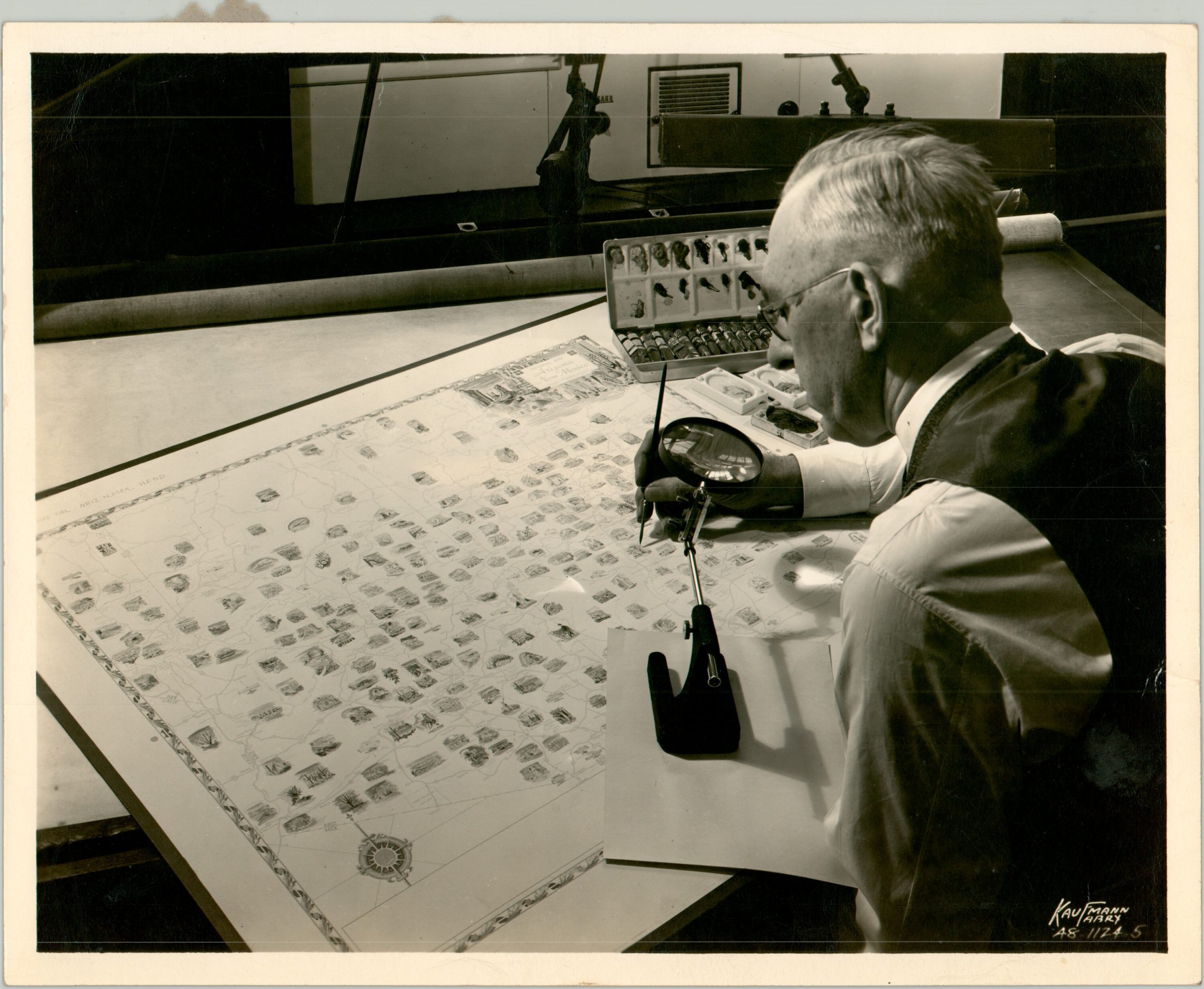
The maps in the portfolio (signed on the first page) present colorful vignettes carefully drawn by Brink (see photo), though he is uncredited on any of the works as far as I can tell. The illustrations emphasize historic sites, architectural marvels, natural beauty, and recreational activities – all inexpensive attractions for the adventurous motorist. Most of the works are directly sponsored by an oil company, so Brink likely made a careful effort to distribute locations of interest across the entire state, thus ensuring maximum expenditure of gasoline to see them all!
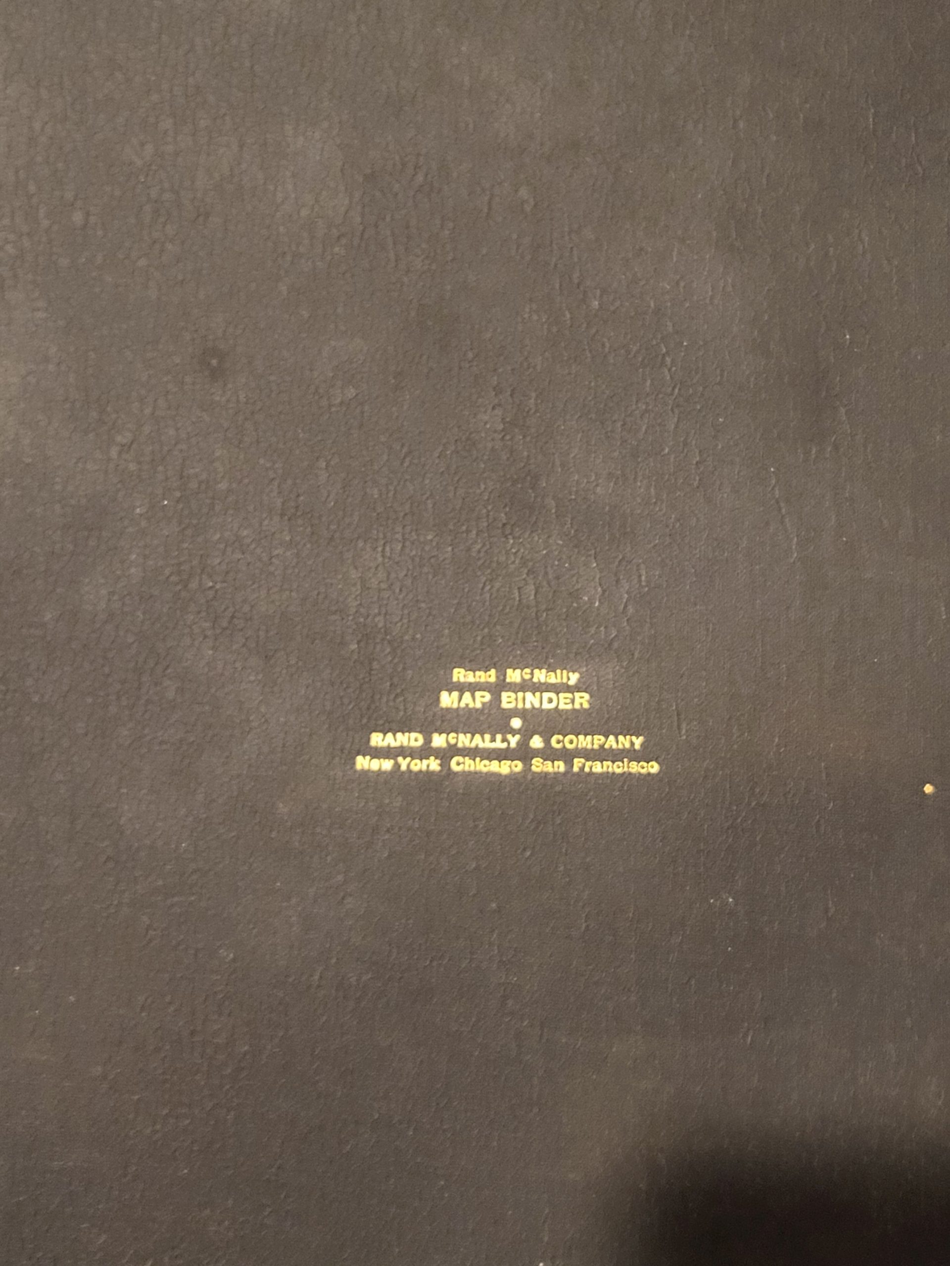
The portfolio (stamped Rand McNally) contains the following sheets and includes all five maps created for the Ohio Oil Company, possible proof copies, a rare map of the Century of Progress Exposition, and many other interesting examples:
- A Collection of Interesting Maps by John G. Brink – Handwritten title page with Outline Map of the United States
- Pictorial Map of Michigan – Designed for the Ohio Oil Company and printed in 1950
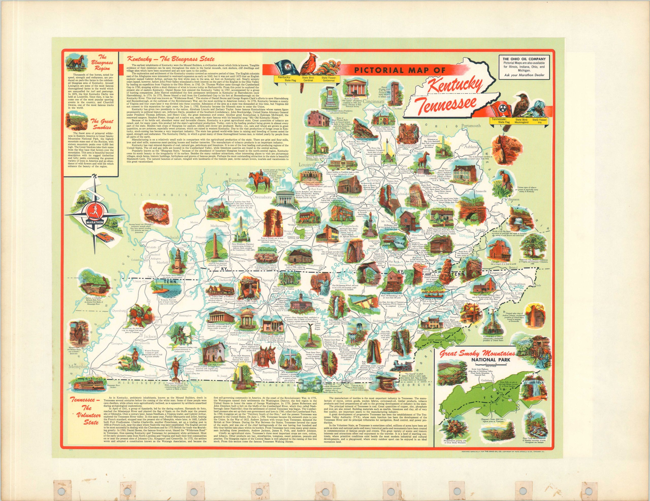
- Pictorial Map of Kentucky/Tennessee – Designed for the Ohio Oil Company and printed in 1950
- Pictorial Map of Ohio – Designed for the Ohio Oil Company and printed in 1950
- Pictorial Map of Illinois – Designed for the Ohio Oil Company and printed in 1950
- Pictorial Map of Indiana – Designed for the Ohio Oil Company and printed in 1950
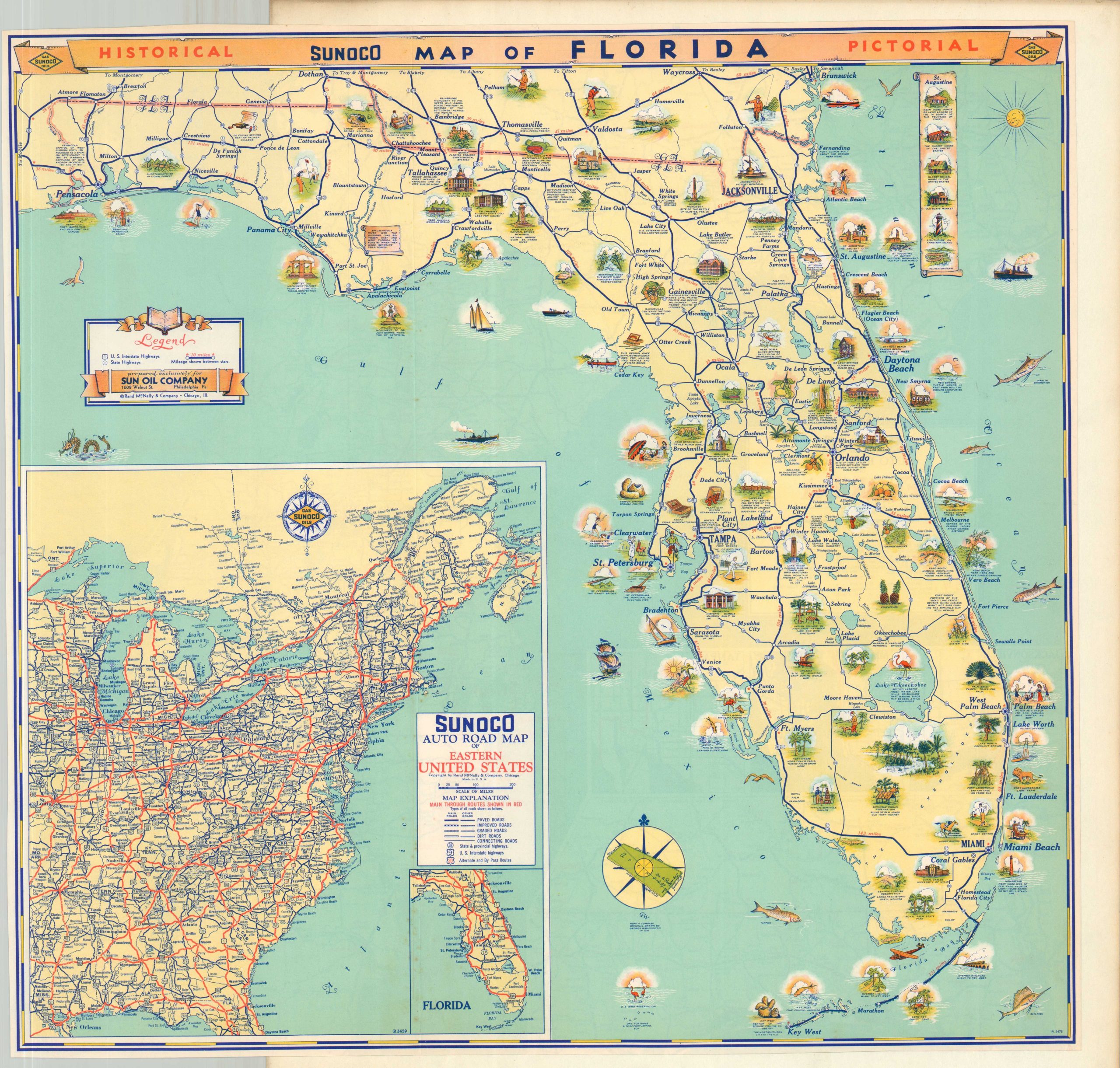
- Historical-Scenic Map of Florida – Designed for Sunoco and printed in 1941
- Historical-Scenic Map of Long Island – Designed for Sunoco and printed in 1941 (heavily trimmed and pasted adjacent to a snippet of the St. Lawrence River) – Sunoco
- Historical-Scenic Map of Michigan – Designed for Sunoco and printed in 1941 (loose)
- Historical-Scenic Map of New Jersey – Designed for Sunoco and printed in 1941
- Historical-Scenic Map of Ohio-Indiana – Designed for Sunoco and printed in 1941
- Historical-Scenic Map of New York – Designed for Sunoco and printed in 1941
- Historical-Scenic Map of Pennsylvania – Designed for Sunoco and printed in 1941
- Historical-Scenic Map of Delaware-Maryland-Virginia-West Virginia – Designed for Sunoco and printed in 1941
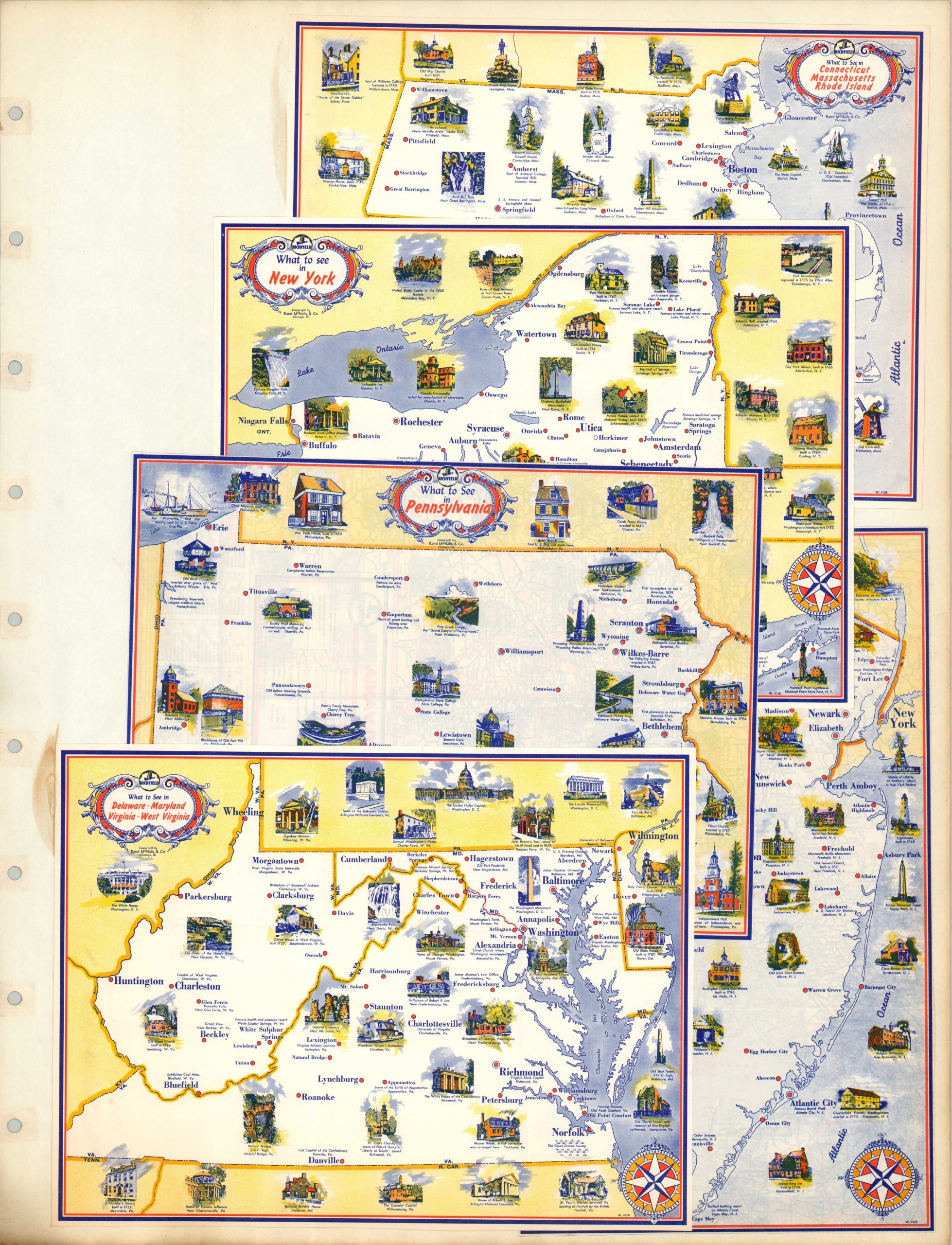
- [Five on One Sheet] What to See in Delaware-Maryland-Virginia-West Virginia; What to See in Pennsylvania; What to See in New York; What to See in Connecticut-Massachusetts-Rhode Island; What to See in New Jersey – Designed for Richfield Oil and printed in 1941 (each blank on verso – possible proofs?)
- Historical-Scenic Map of New York – Designed for Sunoco and printed in 1940
- Historical-Scenic Map of Delaware-Maryland-Virginia-West Virginia – Designed for Sunoco and printed in 1940
- Historical-Scenic Map of Pennsylvania – Designed for Sunoco and printed in 1940
- [Two on One Sheet] Historical-Scenic Map of Michigan & Historical-Scenic Map of Ohio – Designed for Sunoco and printed in 1940
- [Two on One Sheet] Historical-Scenic Map of Florida & Historical-Scenic Map of New Jersey – Designed for Sunoco and printed in 1940
- [Two Variants on One Sheet] Historical Pictorial Sunoco Map of Michigan – Designed for Sunoco and likely printed in 1934 and 1936
- Historical Pictorial Sunoco Map of New Jersey – Designed for Sunoco and printed in 1930
- Historical Pictorial Sunoco Map of Delaware-Maryland-Virginia-West Virginia – Designed for Sunoco and printed in 1930
- Historical Pictorial Sunoco Map of Florida – Designed for Sunoco and printed in 1930
- Sunoco Historical-Pictorial Ohio-Indiana Kentucky -Designed for Sunoco and printed in 1937
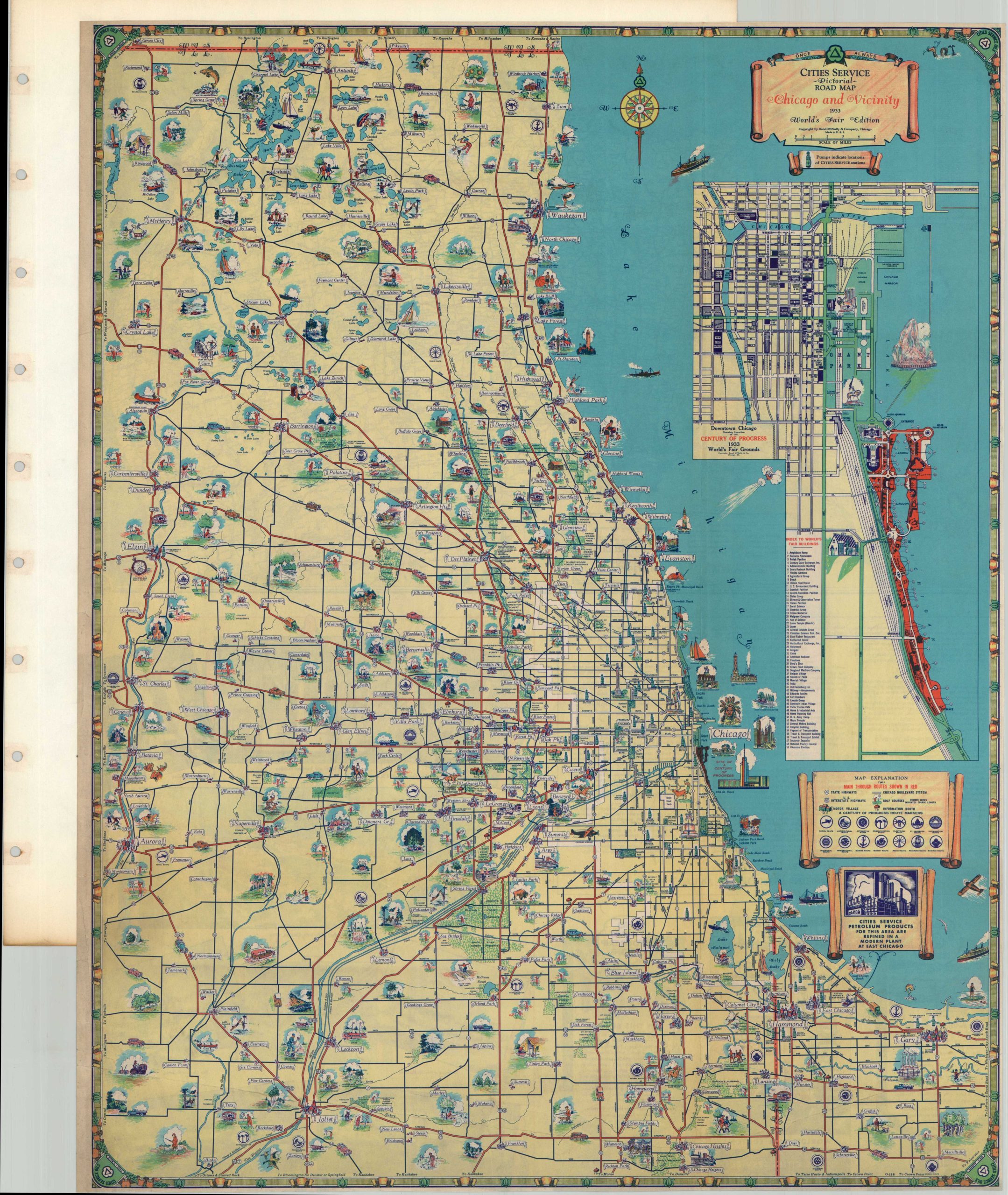
- Cities Service Pictorial Road Map Chicago and Vicinity – Designed for Cities Service and printed in 1933 to celebrate the Century of Progress Exposition
- Recreational Map Central California – Designed for the Union Oil Company and printed in 1939 to promote the Golden Gate International Exposition
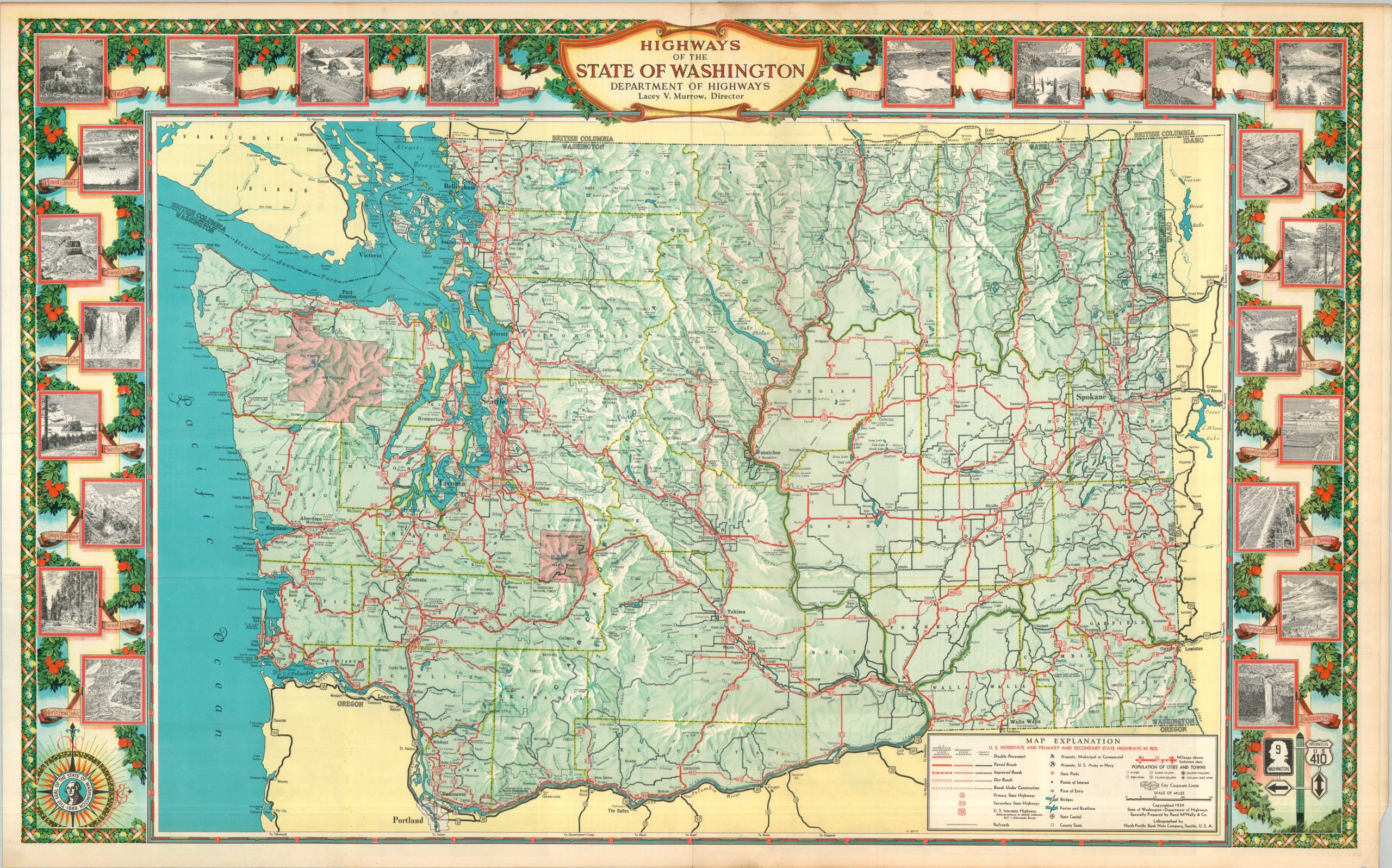
- Highways of the State of Washington – Printed in 1939 on behalf of the Washington Department of Highways for the state’s Golden Jubilee
John G. Brink began his career at Rand McNally as a contract draftsman in the early 1910s. In 1917, he won a company-wide contest for ingeniously introducing the idea of numbered highways for more useful road maps, a growing part of the firm’s business. This earned him the internal moniker of the ‘Father of the Road Map’, even as his proposed methodology was nationally introduced (in a somewhat different format) only a few years later.
Brink also helped encourage the introduction of pictorial vignettes into Rand McNally road maps in order to differentiate their products from competitors. He created scores of pictorial maps during a career at Rand McNally that spanned over 3 decades. Despite his tangible impact on the cartography of the 20th century, Brink’s legacy is largely unknown, due in large part to his name failing to appear on any of his maps (the copyright was held by the company). As described by Kara Swanson in a book review on employee innovation, “The author, just like the inventor, had been subsumed within the corporation.” (Source).
The portfolio was acquired directly from John’s descendants in the Chicago area.
Map Details
Publication Date: 1936 - 1950
Author: John Brink
Sheet Width (in): 17
Sheet Height (in): 22
Condition: B+
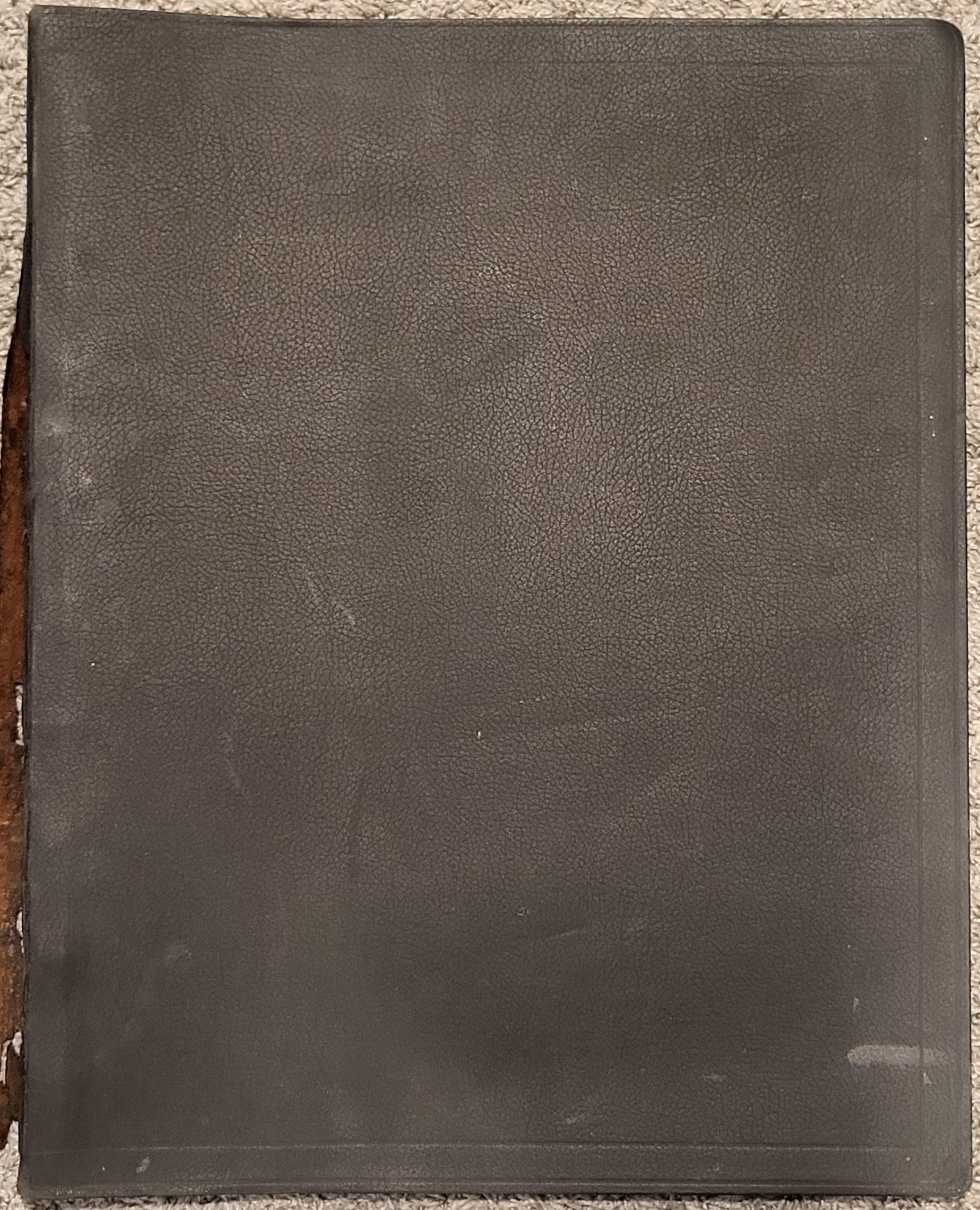
Condition Description: Black leather portfolio with 28 ring-bound sheets (plus several blanks) to which 35 different maps have been adhered. Some are pasted flat, while others are folded because of their size. The spine of the portfolio is disintegrating and heavily worn and the covers are stained, but the metal clasps are secure and functioning. Maps have been cut and reassembled or margins trimmed in certain circumstances, with at least one (Michigan) loose and separated from its page. The sheets show some waviness and there is some light wear along the outer edges, but overall the contents are in very good condition.
Out of stock