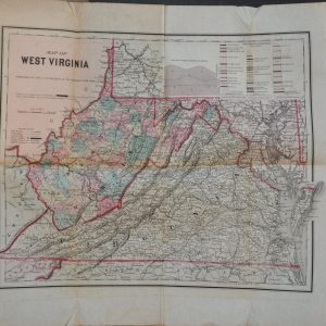
West Virginia
Showing 1–18 of 38 resultsSorted by latest
-

The Kanawha and Michigan Ry Plan Showing Yard Layout of Dickinson, West Virginia
$875.00 Quick View -
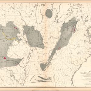
Map of the Coal Fields of the United States
$100.00 Quick View -
Norfolk and Western Railroad and Connections
$275.00 Quick View -
A Plat and Profile Book for Civil Engineers and Contractors [Kanawha & West Virginia Railroad]
$350.00 Quick View -
New York Central Railroad Ohio Central Division Condensed Profile
$295.00 Quick View -
Station Map Glen Ferris, W. Va.
$450.00 Quick View -
Sale!
The West Virginia Hand Book and Immigrant’s Guide
Original price was: $600.00.$425.00Current price is: $425.00. Quick View -
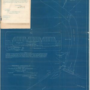
Kanawha & Michigan Ry. Map and Plan of Bridge for Crossing Gauley River
$475.00 Quick View -
Thurmond New River Gorge Development Concept Plan Intrepretive Prospectus Environmental Assessment
$125.00 Quick View -
A Plat and Profile Book for Civil Engineers and Contractors [Kanawha & West Virginia Railroad]
$650.00 Quick View -
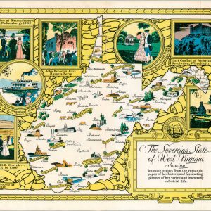
The Sovereign State of West Virginia
$50.00 Quick View -
A Collection of Interesting Maps by John G. Brink
Quick View -
Duquesne Hunting and Fishing Map
$295.00 Quick View -
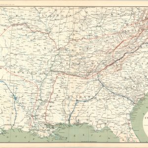
[Parts of West Virginia, Virginia, Kentucky, and Ohio during the American Civil War]
$75.00 Quick View -
[Parts of West Virginia, Ohio, Pennsylvania, and Kentucky during the American Civil War]
$75.00 Quick View -
[Parts of Virginia, West Virginia, Maryland, Delaware during the American Civil War]
$75.00 Quick View -
[Parts of Pennsylvania, Maryland, W. Virginia, New Jersey, and Delaware during the American Civil War]
$75.00 Quick View -
Section of G. Woolworth Colton’s New Guide Map of the United States and Canada with Railroads, Counties, etc.
$75.00 Quick View


![A Plat and Profile Book for Civil Engineers and Contractors [Kanawha & West Virginia Railroad]](https://curtiswrightmaps.com/wp-content/uploads/DSC_1999-1-300x300.jpg)


![A Plat and Profile Book for Civil Engineers and Contractors [Kanawha & West Virginia Railroad]](https://curtiswrightmaps.com/wp-content/uploads/DSC_1528-1-300x300.jpg)

![[Parts of West Virginia, Virginia, Kentucky, and Ohio during the American Civil War]](https://curtiswrightmaps.com/wp-content/uploads/map_29.11x18.12_07-19-24_plate_cxli-300x300.jpg)
![[Parts of West Virginia, Ohio, Pennsylvania, and Kentucky during the American Civil War]](https://curtiswrightmaps.com/wp-content/uploads/map_28.91x18.17_07-19-24_plate_cxl-300x300.jpg)
![[Parts of Virginia, West Virginia, Maryland, Delaware during the American Civil War]](https://curtiswrightmaps.com/wp-content/uploads/map_29.04x18.17_07-16-24_Plate_CXXXVII-300x300.jpg)
![[Parts of Pennsylvania, Maryland, W. Virginia, New Jersey, and Delaware during the American Civil War]](https://curtiswrightmaps.com/wp-content/uploads/map_28.97x18.18_07-16-24_Plate_CXXXVI-300x300.jpg)