Kentucky
Showing 37–54 of 99 resultsSorted by latest
-

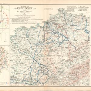
Battle-Field of Baton Rouge, La.; Campaigns in which the Army of the Cumberland Took Part…; Battle-Field of Perryville, Ky.
$75.00 Quick View -
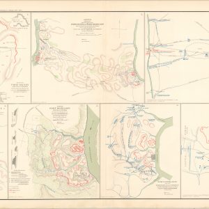
Plan of Fort Henry and its Outworks; Military Map of the Country Between the Tennessee and Cumberland; Plan of Fort Donelson and its Outworks;
$75.00 Quick View -
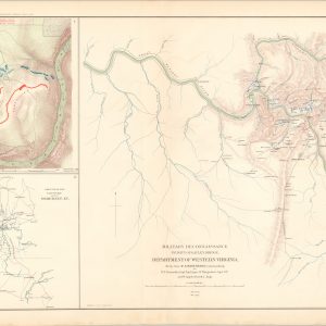
Military Reconnaissance, Vicinity of Gauley Bridge, Western Va.; Map of the Battlefield of Carnifix Ferry; Sketch of the Country around Somerset, Ky.
$75.00 Quick View -
Defenses of Washington; Sketch of Paducah, Ky. and Vicinity; Sketch of the Battle-Field of Logan’s Cross-Roads, Ky.
$75.00 Quick View -
Battle-Field of Young’s Branch or Manassas Plains; Map of Rebel Fortifications at Columbus, Ky.; Sketch of Fort Pickens, Florida; Skirmishes Near Bailey’s Cross-Roads, Virginia
$75.00 Quick View -
Track Chart Showing Industries Pennsylvania Railroad Company Southwestern Region Louisville Br.
$145.00 Quick View -
The Grand Maneuvers of 1941
$300.00 Quick View -
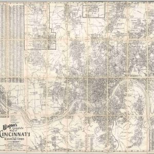
Wagner’s Complete Map of Cincinnati and the Kentucky Cities
$125.00 Quick View -
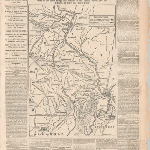
The Seat of War in the West
Quick View -
Main Campus, University of Kentucky
$225.00 Quick View -
All About U.S. 27 A Fast and Scenic Route Between Canada and Fabulous Florida
Quick View -
Florida Short Route Through the Heart of Historical Indian Country
Quick View -
1926 Automobile Blue Book Vol. 2 [Mid-Atlantic and Southeastern States]
Quick View -
Corbin [Kentucky/Tennessee]
Quick View -
King’s Island Souvenir Map
Quick View -
Track Chart Showing Industries Pennsylvania Railroad Company Southwestern Division Louisville Branch
$175.00 Quick View -
Central United States Earthquakes
$75.00 Quick View -
Southeast Dist-O-Map
Quick View