Southeast Dist-O-Map
Go first-class …go Phillips 66!
Out of stock
Description
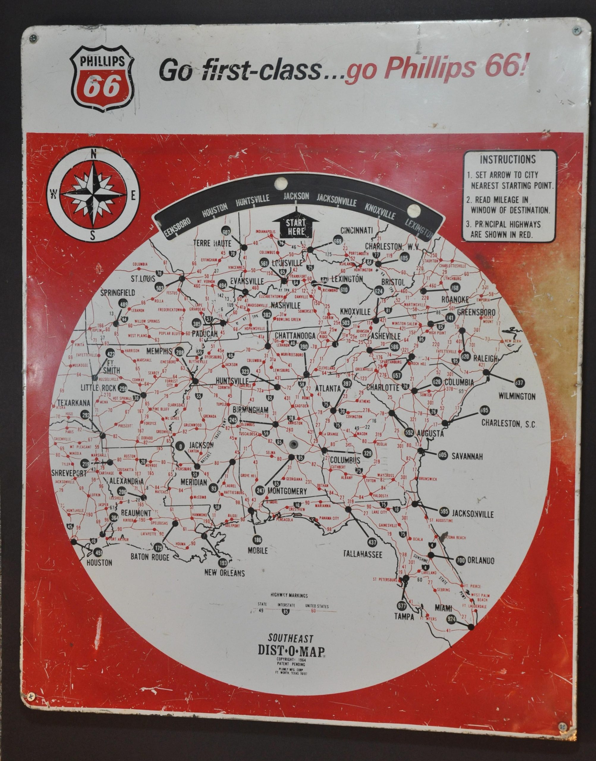
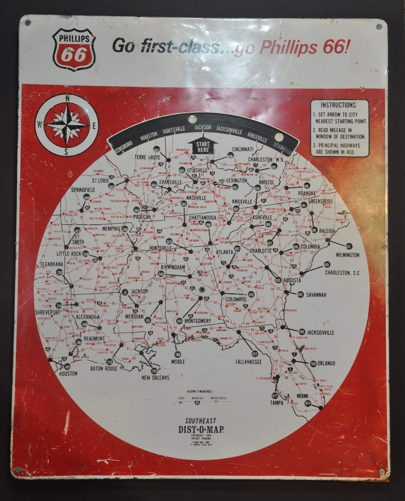
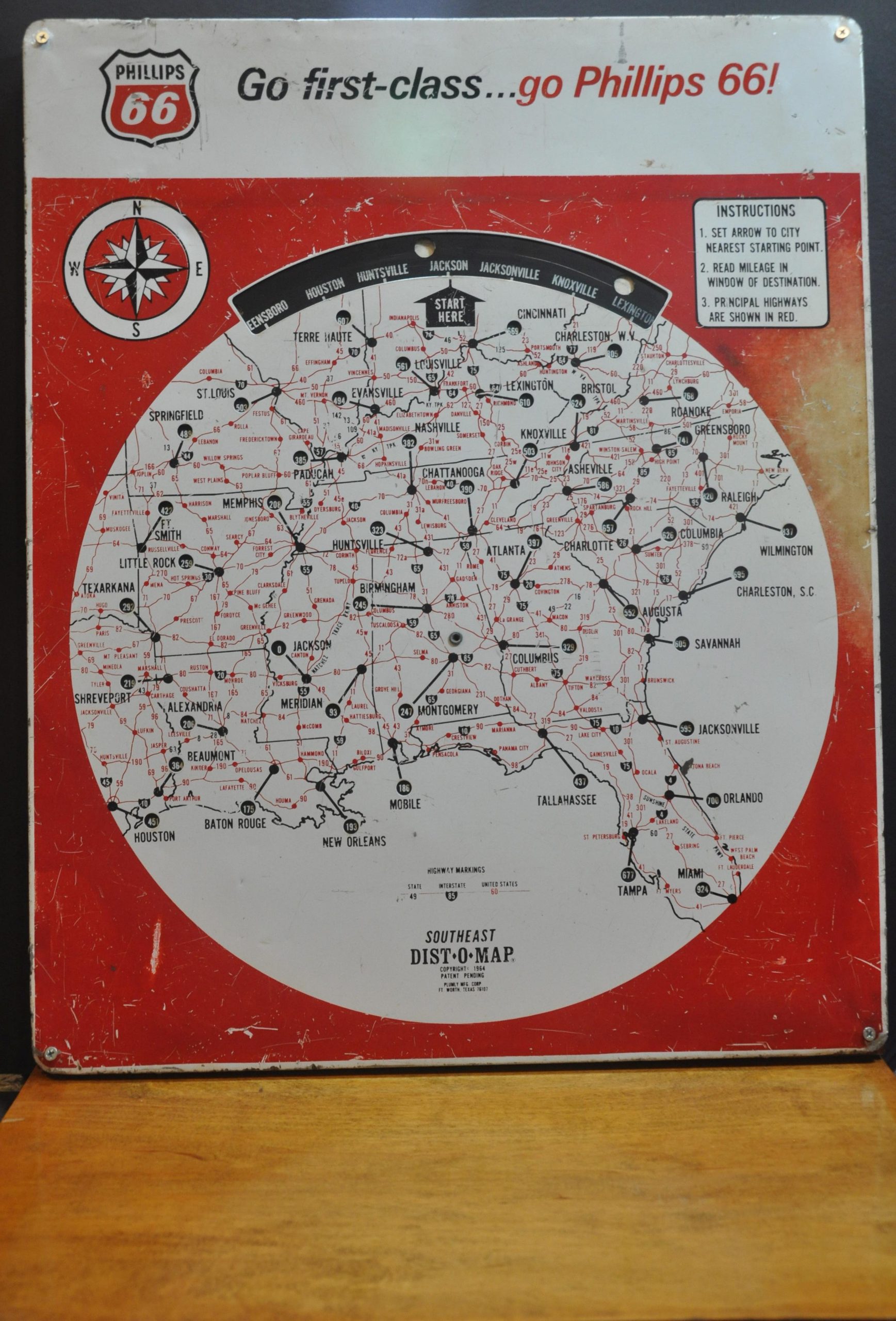
This awesome piece of petroliana was designed by the Plumly Manufacturing Corporation of Fort Worth, Texas in 1964. It was distributed, presumably to gas stations, to promote the products of Phillips 66 just a few years after the company rebranded to it’s recognizable red and black shield logo.
The central image presents a simple road map of the southeastern United States, noting cities small and large from across the Gulf and Atlantic Coasts to approximately the Ohio River. Numbered highways (state and federal) and interstates are labeled, along with the Natchez Trace Parkway.
Spinning the black disc to different cities changes the respective mileage numbers to locations punched out across the map. Instructions are provided in the upper right for those unfamiliar with the procedure. An interesting way to approximate trip times during the mid-1960s.
Map Details
Publication Date: 1964
Author: Plumly Manufacturing Corporation
Sheet Width (in): 21
Sheet Height (in): 26
Condition: B
Condition Description: Aluminum and wood spinning sign with a removable lower shelf. Heavy wear, presumably from decades of use, but still functions as intended. Dents, some discoloration in the upper right, scattered paint chipping, etc.
Out of stock


