Georgia
Showing 1–18 of 113 resultsSorted by latest
-
![Canada Louisiane et Terres Angloises [Southeastern U.S.]](data:image/svg+xml,%3Csvg%20xmlns='http://www.w3.org/2000/svg'%20viewBox='0%200%20300%20300'%3E%3C/svg%3E)
Canada Louisiane et Terres Angloises [Southeastern U.S.]
$500.00 Quick View -
A New Map of the Cherokee Nation [and] A Sketch of the Cherokee Country
Quick View -
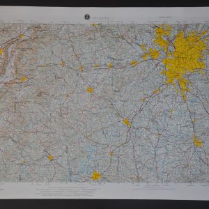
Atlanta
$175.00 Quick View -
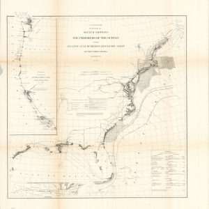
Sketch Showing the Progress of the Survey on the Atlantic Gulf of Mexico and Pacific Coast of the United States
$95.00 Quick View -
[Print Block of Georgia]
$50.00 Quick View -
New York to Florida ‘Upside-Down Map’
$50.00 Quick View -
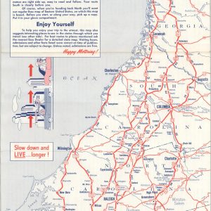
Southern Railway System
$95.00 Quick View -
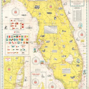
Phillips 66 Cruise Guide No. 2 Cape Charles, VA. to Key West, Fla. and St. George Island
$125.00 Quick View -
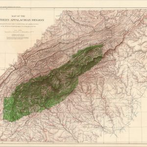
A Report of the Secretary of Agriculture in Relation to the Forests, Rivers & Mountains of the Southern Appalachian Region
$350.00 Quick View -
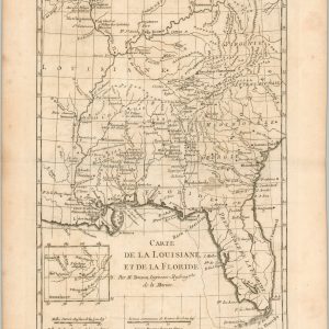
Carte de la Louisiane et de la Floride
$225.00 Quick View -
Mohawk-Hobbs Grade and Surface Guide – National Dixie Highway and Other Roads New York – Jacksonville
$125.00 Quick View -
Geographically Correct Indexed Township map of Florida and Southern Georgia showing Complete System of Florida Central and Peninsular R.R.
$575.00 Quick View -
Central of Georgia Railway and Connections
$95.00 Quick View -
Tropical Cyclones of the North Atlantic Ocean Tracks and Frequencies of Hurricanes and Tropical Storms, 1871-1963
$75.00 Quick View -
See Seven States from Rock City atop Lookout Mt.
Quick View -
Six Flags Over Georgia
$175.00 Quick View -
Sale!
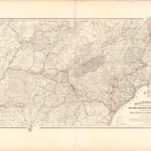
Military Map Showing the United States Forces under Command of Maj. Gen. W.T. Sherman U.S.A. during the years 1863, 1864, 1865
Original price was: $800.00.$600.00Current price is: $600.00. Quick View -
Sale!
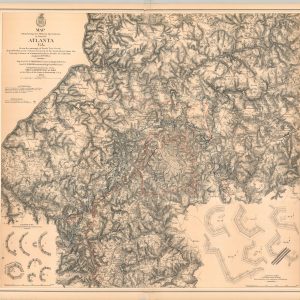
Map Illustrating the Military Operations in front of Atlanta, Georgia
Quick View
![Canada Louisiane et Terres Angloises [Southeastern U.S.]](https://curtiswrightmaps.com/wp-content/uploads/map_22.95x33.37_04-14-26_inv008527c-300x300.jpg)
![A New Map of the Cherokee Nation [and] A Sketch of the Cherokee Country](https://curtiswrightmaps.com/wp-content/uploads/Inv8509-300x300.jpg)
![[Print Block of Georgia]](https://curtiswrightmaps.com/wp-content/uploads/Georgia-Print-Block-300x300.jpg)