Kentucky
Showing 73–90 of 99 resultsSorted by latest
-

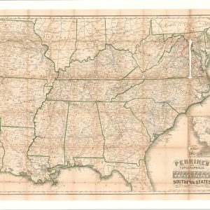
Perrine’s New Topographical War Map of the Southern States
Quick View -
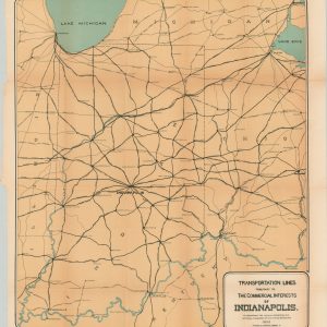
Transportation Lines Tributary to Commercial Interests of Indianapolis
$110.00 Quick View -
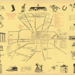
Lexington Chamber of Commerce Convention Tour of Bluegrass Horse Farms
Quick View -
Tour Map Lexington, Kentucky
$75.00 Quick View -
[Print Block Map of the Indiana/Ohio/Kentucky Tri-State Region]
$45.00 Quick View -
[Print Block Map of the Great Lakes]
Quick View -
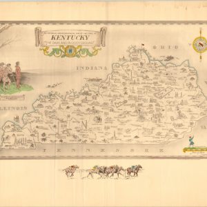
An Historical and Geographical Map of the State of Kentucky. “The Dark and Bloody Ground.”
$250.00 Quick View -
[Maps of the Midwestern States]
$35.00 Quick View -
Western States [and] Southern States & Arkansas & Tennessee
$50.00 Quick View -
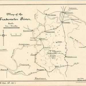
Map of the Tradewater River
$50.00 Quick View -
Shakertown at Pleasant Hill Kentucky
Quick View -
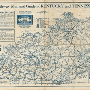
Highway Map and Guide of Kentucky and Tennessee
$60.00 Quick View -
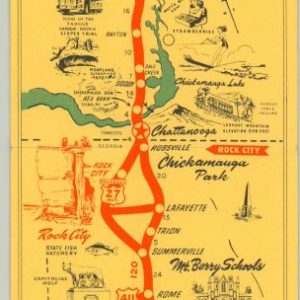
See Rock City U.S. 27
Quick View -
Sale!
Geographical, Statistical, and Historical Map of Kentucky
Original price was: $225.00.$150.00Current price is: $150.00. Quick View -
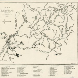
Map of the Mammoth Cave Prepared for H.C. Hovey
$95.00 Quick View -
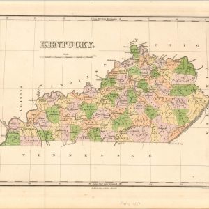
Kentucky.
$125.00 Quick View -
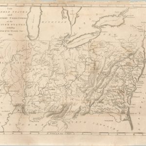
The Middle States and Western Territories of the United States including the Seat of the Western War
$250.00 Quick View -
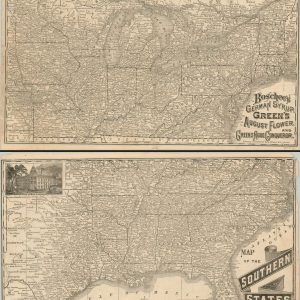
Map of the Northern States [and] Map of the Southern States
$125.00 Quick View