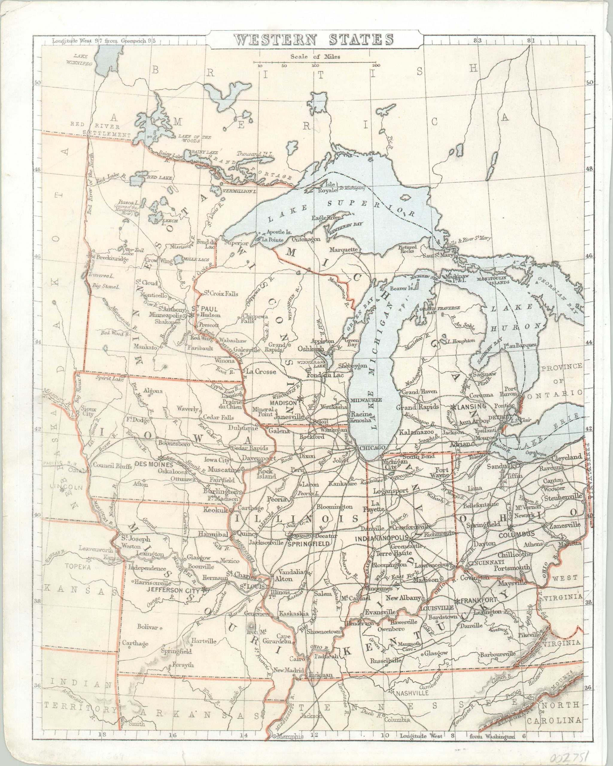
Western States [and] Southern States & Arkansas & Tennessee
$50.00
How the Midwest got its name.
1 in stock
Description
This finely engraved map of the ‘western states’ shows the gradual progression by which the Midwest eventually became to be known. Although it’s slightly outdated (Nebraska and Kansas were states by the time of publication), the image reflects how contemporary conceptions of American regional geographic identity developed with the process of westward expansion.
It shows the former Northwest Territory that, with the exception of Missouri, was organized and incorporated into the Union under the auspicious of the Ordinance of 1787. Even today, this association is reflected in our modern conception of the Midwest.
The verso features a map of the Southeast and Gulf of Mexico, including the states of Arkansas and Tennessee. Combined, both images present a detailed overview of the eastern United States.
The map was created by Sarah Sophia Cornell at a time when women cartographers were exceedingly scarce. Published in New York by D. Appleton & Co. in 1869.
Map Details
Publication Date: 1869
Author: Sarah Cornell
Sheet Width (in): 8.75
Sheet Height (in): 10.9
Condition: B
Condition Description: Moderate discoloration visible along the left and bottom edges of the sheet, extending into the image. A few small chips and edge tears confined to the margins.
$50.00
1 in stock


