Kentucky.
$125.00
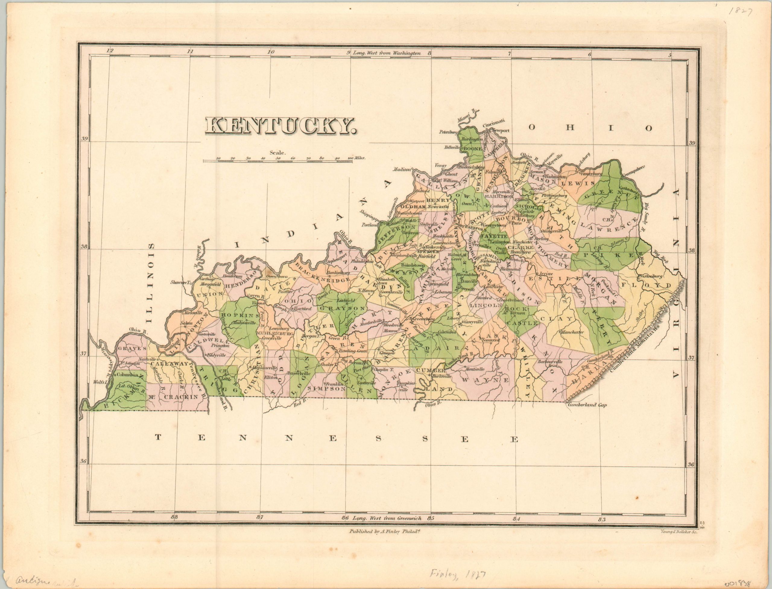
Finley’s detailed map of Kentucky from 1827.
1 in stock
Description
Anthony Finley was one of several American mapmakers active in the first half of the 19th century and dedicated to improving the quality of the country’s mapmaking output. Finely engraved details incorporating the latest available geographic and political information are enhanced with attractive pastel coloring, applied by hand.
The state’s expanding transportation network is highlighted also, following navigable rivers and a rudimentary system of early roads. Topography is depicted pictorially and confined solely to the Cumberland Mountains shown prominently in the east.
The map was engraved by Young and Delleker and published in Philadelphia by Anthony Finley for inclusion in the 1827 edition of his General Atlas.
Map Details
Publication Date: 1827
Author: Anthony Finley
Sheet Width (in): 13.90
Sheet Height (in): 10.60
Condition: A-
Condition Description: A few small spots of foxing in the lower left and center margins, away from the image. One small spot within the image near Owensboro. Otherwise in near fine condition, with original hand color.
$125.00
1 in stock