Kentucky
Showing 19–36 of 99 resultsSorted by latest
-

The Chicago Daily News Official 1921 Auto Trails Map Special Illinois Western Indiana
$495.00 Quick View -
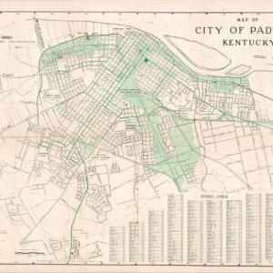
City of Paducah, Kentucky
$95.00 Quick View -
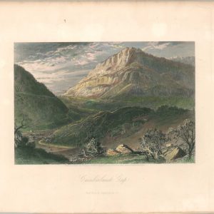
Cumberland Gap
Quick View -
[Printer’s Block of Primary Interstates to Cincinnati]
$60.00 Quick View -
Sale!
[Group of Lease Agreements from the Southern Indiana Interurban Railway Company and the Louisville & Jefferson Bridge Company]
Original price was: $600.00.$475.00Current price is: $475.00. Quick View -
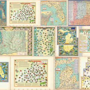
A Collection of Interesting Maps by John G. Brink
Quick View -
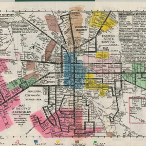
Lexington At Your Fingertips
Quick View -
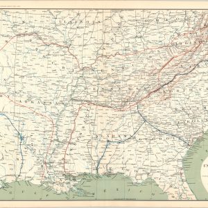
[Parts of Missouri, Arkansas, Tennessee, Kentucky, and Illinois during the American Civil War]
$75.00 Quick View -
[Parts of Illinois, Indiana, Kentucky, and Ohio during the American Civil War]
$75.00 Quick View -
[Parts of Kentucky and Tennessee during the American Civil War]
$75.00 Quick View -
[Parts of Kentucky, Tennessee, Virginia, North Carolina, and South Carolina during the American Civil War]
$75.00 Quick View -
[Parts of West Virginia, Virginia, Kentucky, and Ohio during the American Civil War]
$75.00 Quick View -
[Parts of West Virginia, Ohio, Pennsylvania, and Kentucky during the American Civil War]
$75.00 Quick View -
Section of G. Woolworth Colton’s New Guide Map of the United States and Canada with Railroads, Counties, etc.
$75.00 Quick View -
Military Map of the Marches of the United States Forces Under Command of Maj. Gen. W.T. Sherman, U.S.A. during the years 1863, 1864, 1865
$75.00 Quick View -
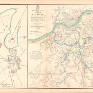
Map of Bowling Green, Ky. Showing its Approaches and Defenses; Topographical Map Showing Defenses of Cincinnati, Covington, and Newport
Quick View -
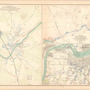
Defenses of Munfordville, Ky.; Defenses of Camp Nelson, Ky.; Louisville and its Defenses
$75.00 Quick View -
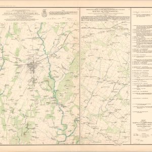
Map of the Battle-Field of Gettysburg; Map Showing the Gaps In the Mountains From Winter’s Gap in Tenn. to Louisa in Kentucky
$75.00 Quick View