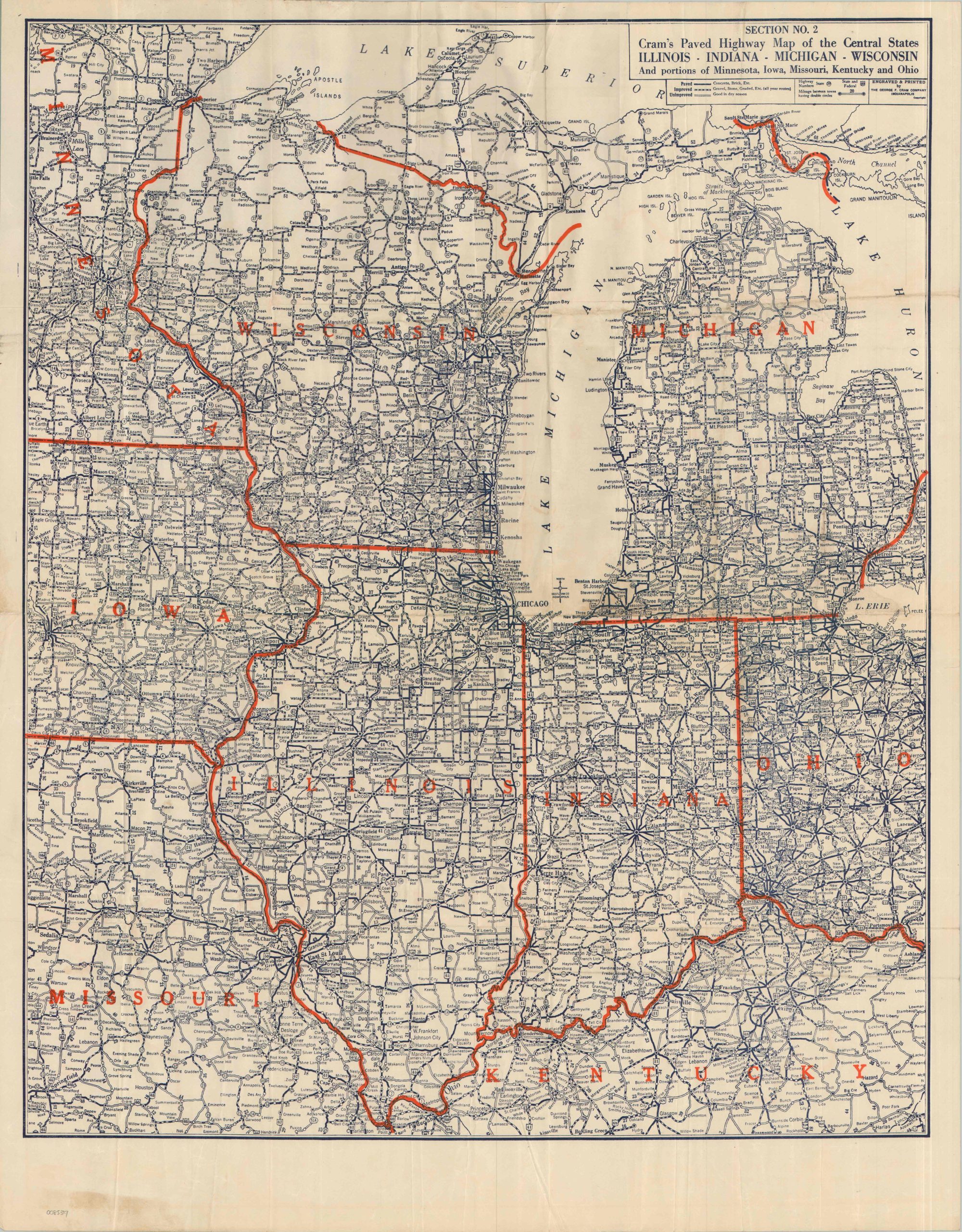
Section No. 2 Cram’s Highway Map of the Central States Illinois Indiana Michigan Wisconsin And portions of Minnesota, Iowa, Missouri, Kentucky, and Ohio
$110.00
The roads of the Midwest shortly after the introduction of U.S. Numbered Highways
1 in stock
Description
This utilitarian road map was published in 1928 by the George Cram Company of Indianapolis. Primary highways across four Central states, Wisconsin, Illinois, Indiana, and Michigan (plus parts of their neighbors) are shown using three different styles of lines. Each approximates the surface conditions of the indicated route: Paved, Improved, and Unimproved. Beware dirt roads in wet weather!
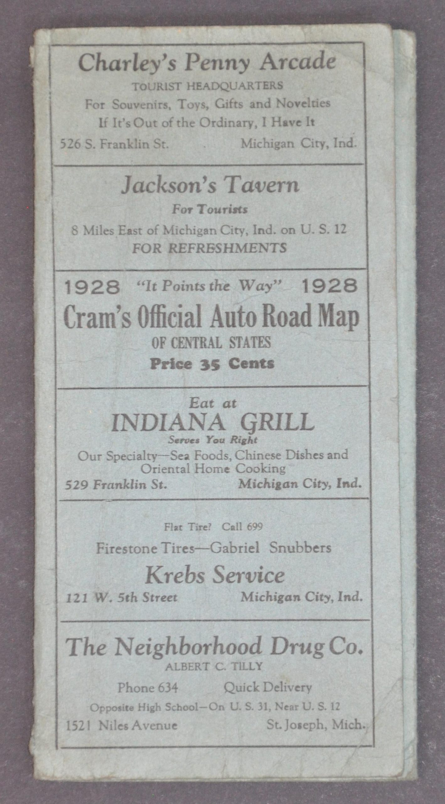
Small numbers indicate State and U.S. Highways, with the former enclosed within their distinctive shield. Of particular interest is the iconic Route 66 running from Chicago through Missouri, but still unpaved south of St. Clair. Distances between points are noted, connecting towns large and small across the Midwest in the midst of the Prohibition Era. The map is affixed to folding paper covers that advertise several local businesses, including restaurants, hotels, service stations, and retailers.
Map Details
Publication Date: 1928
Author: George Cram Company
Sheet Width (in): 21.75
Sheet Height (in): 37.75
Condition: A-
Condition Description: Single-sided map folded and attached to original tri-fold blue paper wraps (a bit worn). Moderate wear, wrinkling, and some discoloration along the folds and in the margins, but overall in good to very good condition.
$110.00
1 in stock