
Central Section Pikes Peak Ocean to Ocean Highway
$165.00
The PPOO Between Piqua, Ohio and Colorado Springs, Colorado.
1 in stock

Description
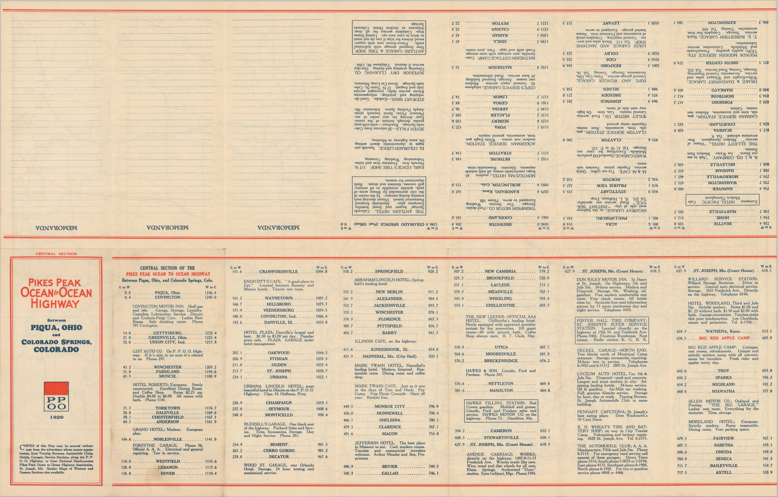
This detailed 1929 route map illustrates the “Central Section” of the Pikes Peak Ocean to Ocean Highway, a premier transcontinental auto trail connecting the Atlantic and Pacific coasts. The image focuses on the 1,246 mile span between Piqua, Ohio, and Colorado Springs, Colorado, covering a geographic area bounded approximately by Cincinnati, Oklahoma City, Denver, and St. Paul. An inset in the upper corner provides a complete overview of the highway’s full transcontinental span, connecting New York to Los Angeles.
A notable feature of this edition is the red overprinting of specific hotels and service stations directly onto the route. This integrated advertising corresponds to a comprehensive mileage list and selective hotel directory on the verso, allowing the motorist to plan fuel and lodging stops with precision. By 1929, the Pikes Peak Highway was increasingly competing with the newly established U.S. Numbered Highway System; the map reflects this transition by identifying the route’s federal counterparts, primarily U.S. Route 36.
Map Details
Publication Date: 1929
Author: Rand McNally & Company
Sheet Width (in): 28.00
Sheet Height (in): 18.00
Condition: A-
Condition Description: Double-sided map brochure with light creasing along old folds and a small, dime sized damp stain in the upper left. Very good condition overall.
$165.00
1 in stock