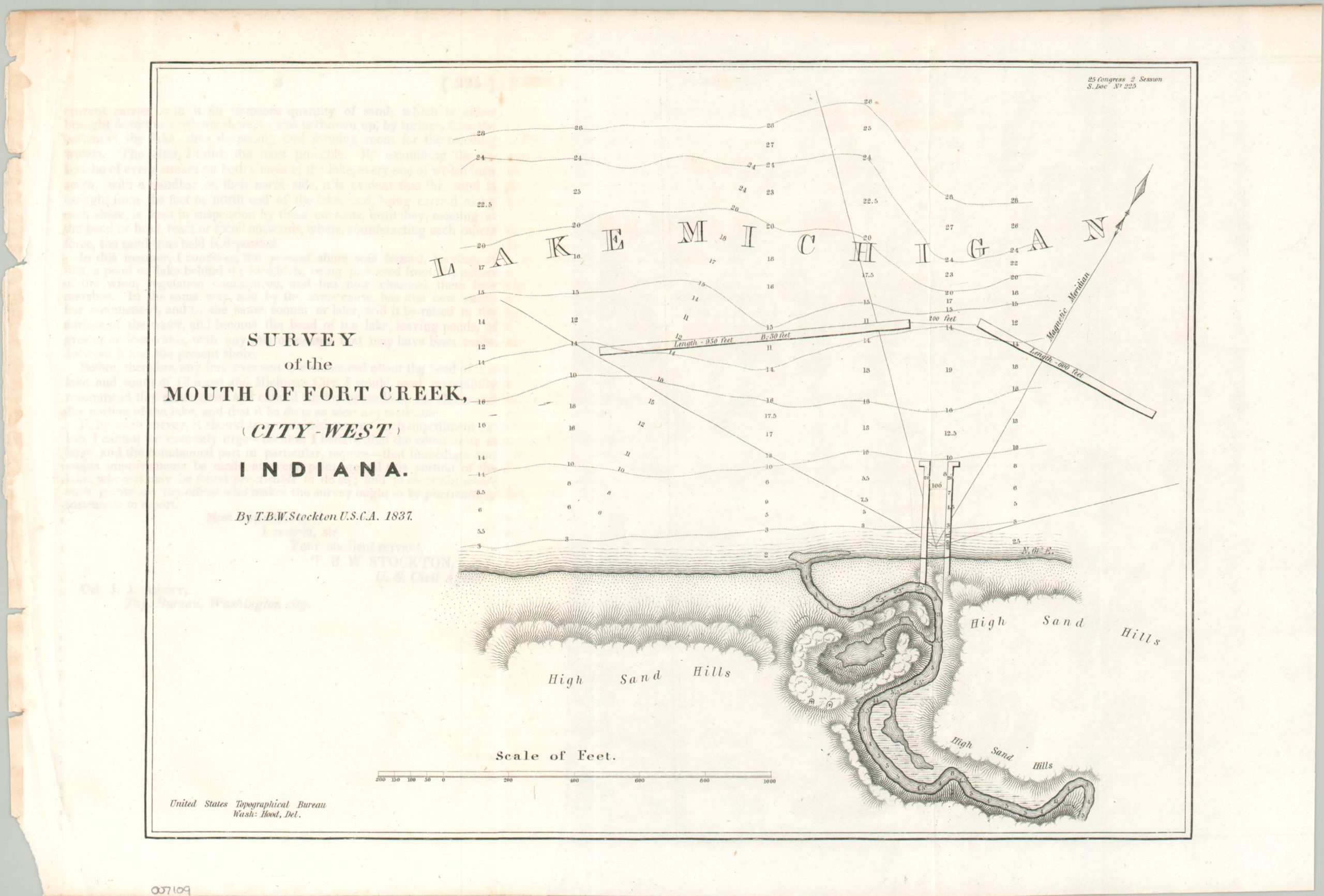
Survey of the Mouth of Fort Creek, City West Indiana
$300.00
Early plans for a protected Indiana harbor on the shores of Lake Michigan.
1 in stock
Description
This uncommon map and report tell part of the story of the short-lived town of City West, Indiana. First established in 1836, the small community had big hopes of becoming the next booming Great Lakes port city. A visit by Daniel Webster and federal surveys the following year helped to build momentum, though the results of the latter are less than enthusiastic.
The author, T.B.W. Stockton, warns his audience that a nearby sandbar and difficult local topography would be rather significant barriers to the construction and maintenance of the harbor. These findings, combined with the Financial Panic of 1837, led Congress to withdraw funding and the town of City West was completely abandoned by 1839. The site is now part of Indiana Dunes National Park.
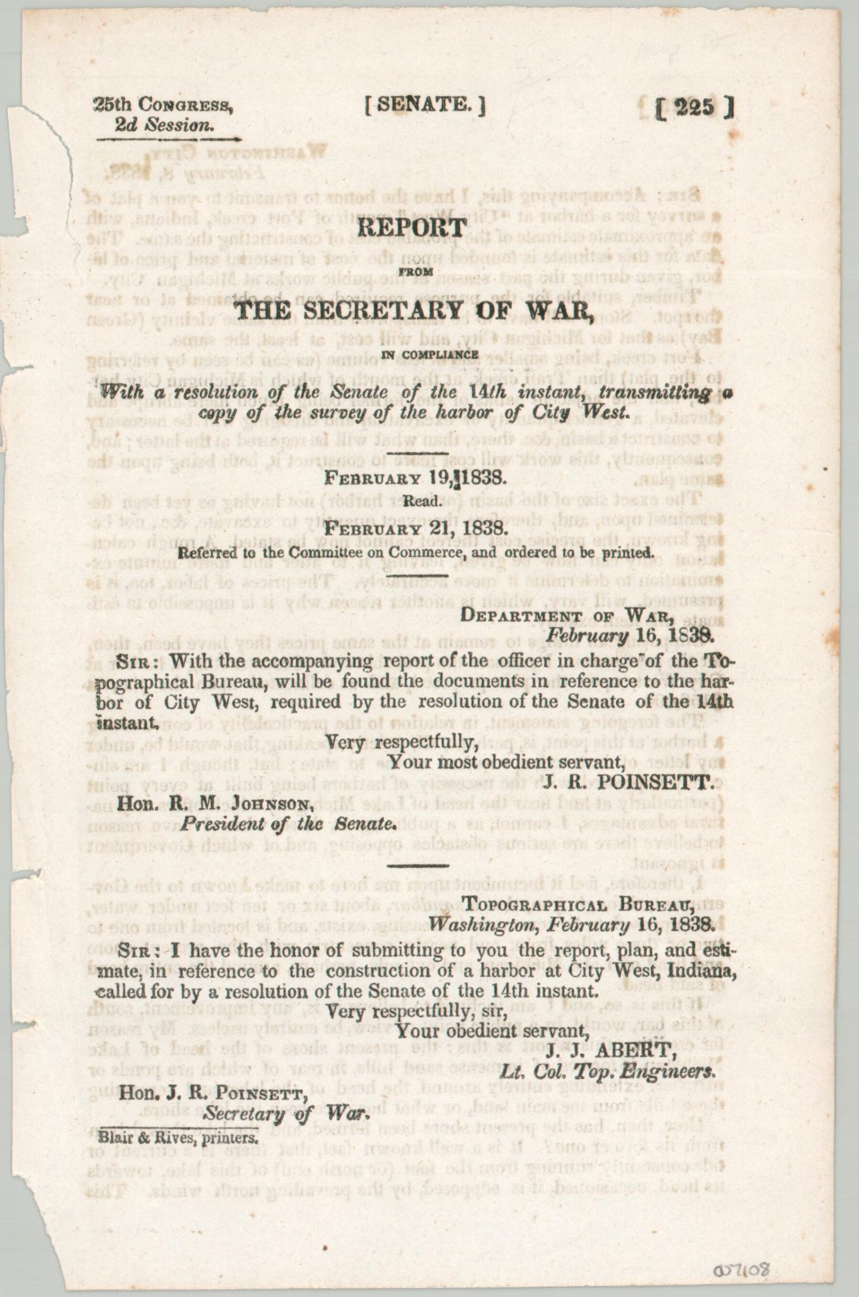
The map was designed by U.S. Army Engineer Thomas Baylis Whitmarsh Stockton in 1837 and drawn by Washington Hood of the U.S. Topographical Bureau. Printed in 1838 as part of a Report from the Secretary of War to members of Congress.
Source: Atlas Obscura
Map Details
Publication Date: 1838
Author: T.B.W. Stockton
Sheet Width (in): 13.25
Sheet Height (in): 8.9
Condition: A-
Condition Description: Small single-sided map, folded twice and disbound from government report. Light wear in the margins and faint spotting. Includes three pages of text.
$300.00
1 in stock