Great Lakes
Showing 1–18 of 90 resultsSorted by latest
-

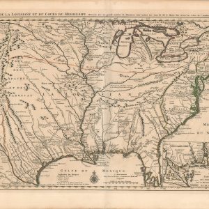
Carte de la Louisiane et du Cours du Mississipi…
$9,500.00 Quick View -
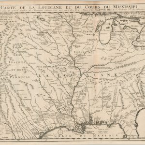
Carte de la Louisiane et du Cours du Mississipi…
$1,800.00 Quick View -
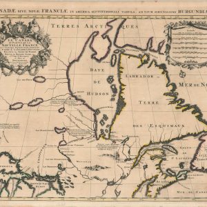
Le Canada ou Partie de la Nouvelle France
$1,250.00 Quick View -
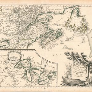
Partie De L’Amerique Septent. Qui comprend La Nouvelle France ou Le Canada
$650.00 Quick View -
Map of the Northern Parts of the United States of America
$325.00 Quick View -
Carte Contenant le Royaume du Mexique et la Floride, Dressez sur les meilleures observations & fur les Memoires les plus Nouveaux
$295.00 Quick View -
Carte de la Louisiane et du cours du Mississipi dressée sur un grand nombre de mémoires entrautres sur ceux de Mr. le Maire, par Guillaume De l’Isle
$850.00 Quick View -
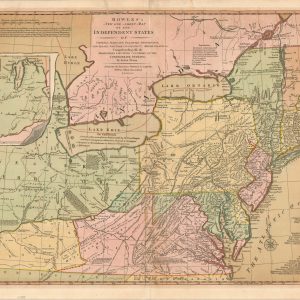
Bowles’s New One-Sheet Map of the Independent States of Virginia, Maryland, Delaware, Pensylvania, New Jersey, New York, Connecticut & Rhode Island. &c
$1,800.00 Quick View -
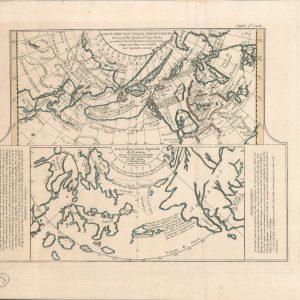
Carte Des Nouvelles Decouvertes dresseee par Phil. Buache
$250.00 Quick View -
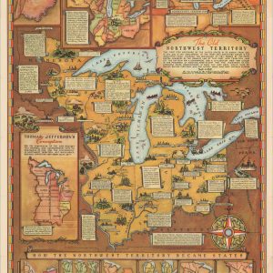
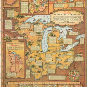
The Old Northwest Territory
$150.00 Quick View -
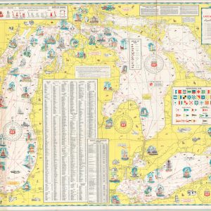
Phillips 66 Cruise Guide No. 4 Mississippi River including Illinois Waterway Lake Michigan Lake Huron and Lake Erie
$125.00 Quick View -
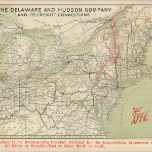
The Delaware and Hudson Company and its Freight Connections
$165.00 Quick View -
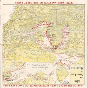
Map of the Great Lakes, Showing Route of D&C. Lake Lines
$125.00 Quick View -
The Old Northwest Territory
$75.00 Quick View -
The Long Trip
Quick View -
What You Get at Buffalo Heights
$125.00 Quick View -
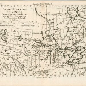
Partie Occidentale du Canada
Quick View -
Il Paese de Selvaggi Outagamiani, Mascoutensi, Illinese, e Parte delle vi Nazioni [The Country of the Savage Outagamie, Mascouten, Illinois, and Part of the Six Nations]
$425.00 Quick View


![Il Paese de Selvaggi Outagamiani, Mascoutensi, Illinese, e Parte delle vi Nazioni [The Country of the Savage Outagamie, Mascouten, Illinois, and Part of the Six Nations]](https://curtiswrightmaps.com/wp-content/uploads/map_15.20x19.81_03-06-25_inv006673c-scaled-e1741371202404-300x300.jpg)