
Western North Carolina
$250.00
A Vacationist’s Map and Guide to the Land of the Sky.
1 in stock
Description
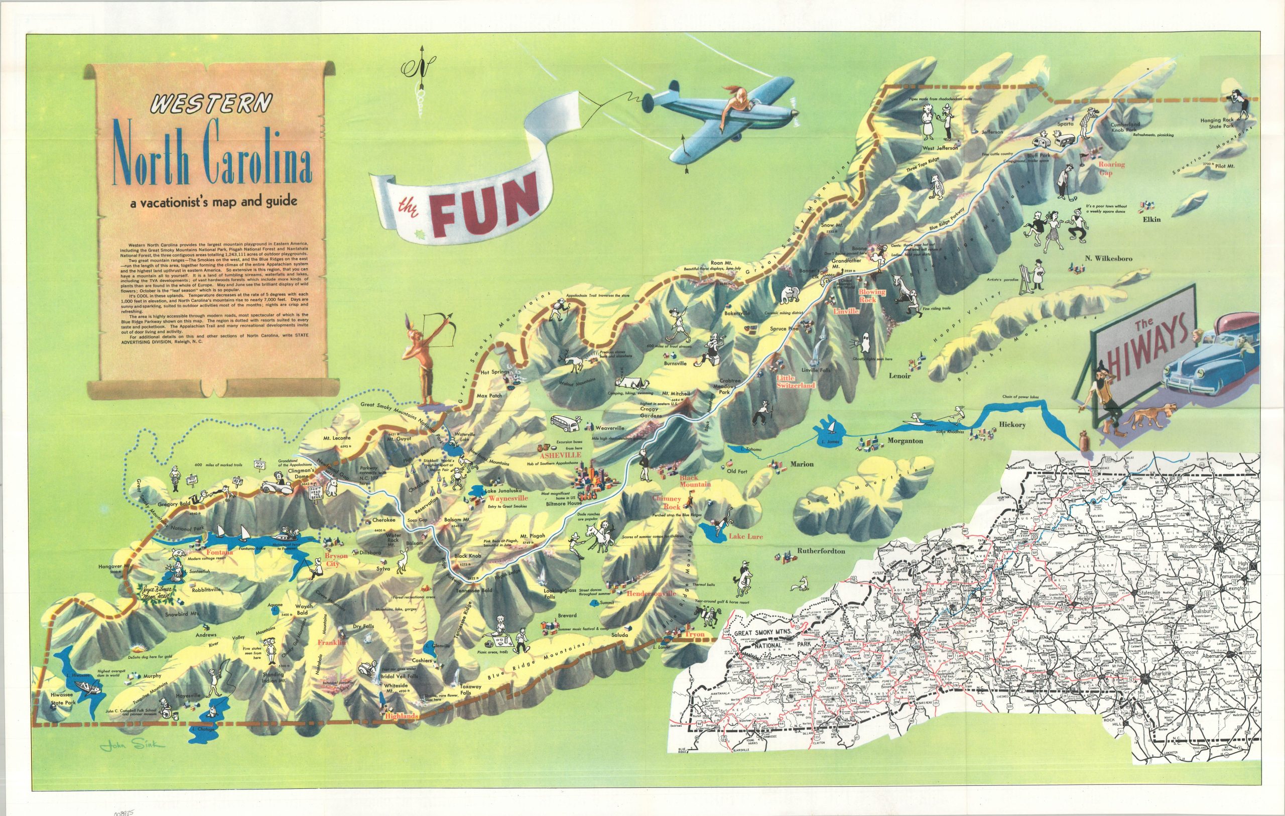
This charming pictorial map highlights ‘the FUN’ mountainous vacationland around the city of Asheville in western North Carolina. A mix of B&W and full-color vignettes showcases many of the local attractions, opportunities for recreation, and interesting features of the region. Contemporary stereotypes are reflected with the Appalachian moonshiner and Native Americans, though the latter are admittedly a good shot with a bow! Primary transportation routes, including the iconic Blue Ridge Parkway, are noted, and a road map of the state west of Winston-Salem can be seen in the lower right. Twelve different automobile tours are described in text on the verso.
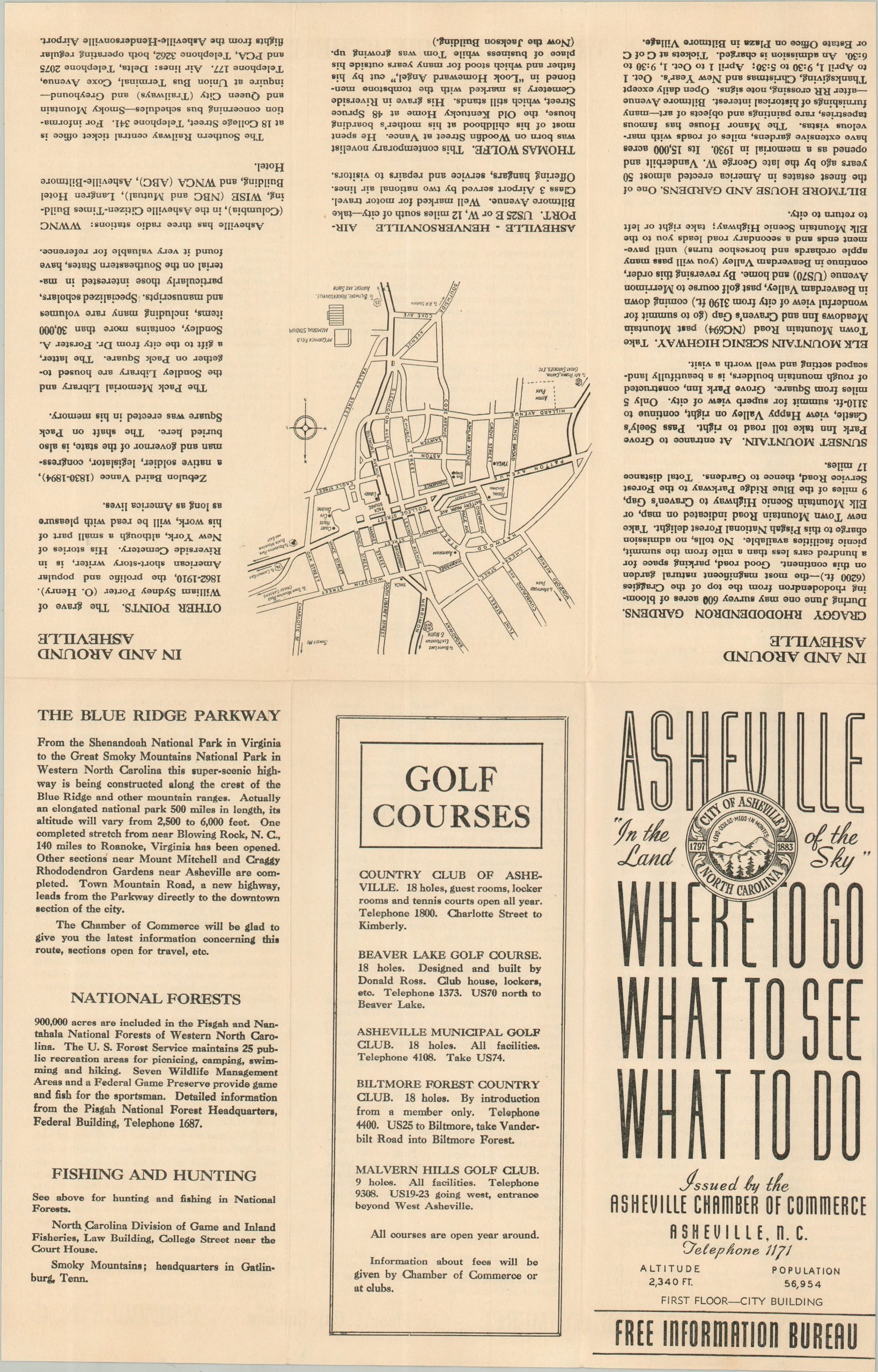
The map was illustrated by John Sink and published around 1949 in Raleigh by the North Carolina State Advertising Division. The piece is accompanied by an original envelope (postmarked February, 1949) from the N.C. Department of Conservation and Development to John Anderson in Mt. Horeb, Wisconsin. It also includes a six-panel brochure issued by the Asheville Chamber of Commerce, WHERE TO GO WHAT TO SEE WHAT TO DO.
Map Details
Publication Date: c. 1949
Author: John Sink
Sheet Width (in): 36.50
Sheet Height (in): 22.00
Condition: A-
Condition Description: Creasing and moderate wear along originally issued fold lines, including small edge tears and tiny holes at fold intersections. Some marginal soiling and a few scattered spots within the image. Good to very good condition overall.
$250.00
1 in stock