
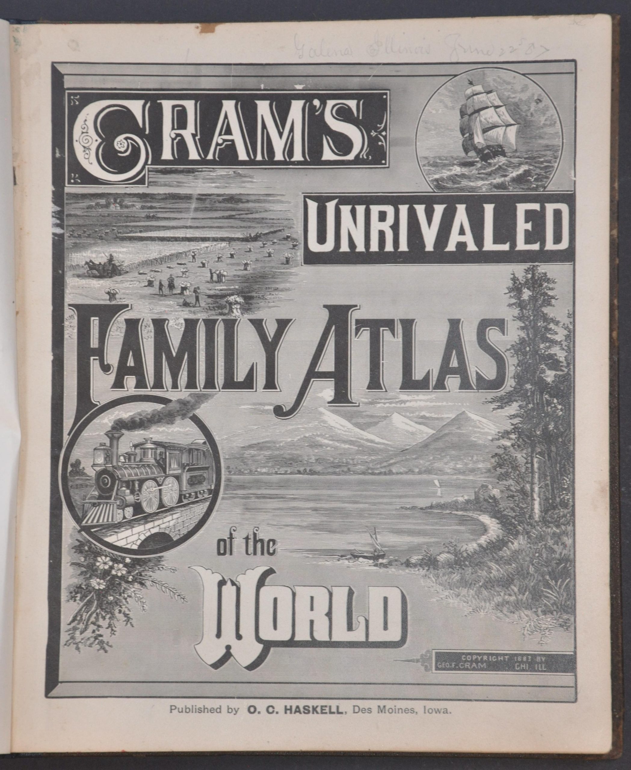
Cram’s Unrivaled Family Atlas of the World
The 1883 edition of George Cram’s popular 19th century reference atlas.
Out of stock


Description
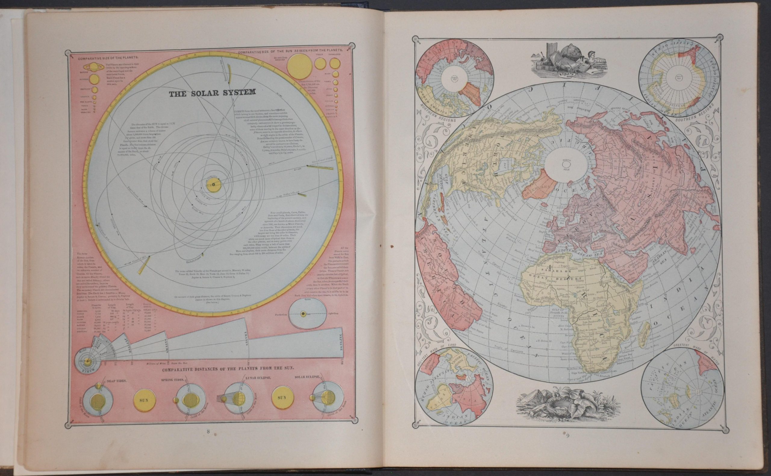
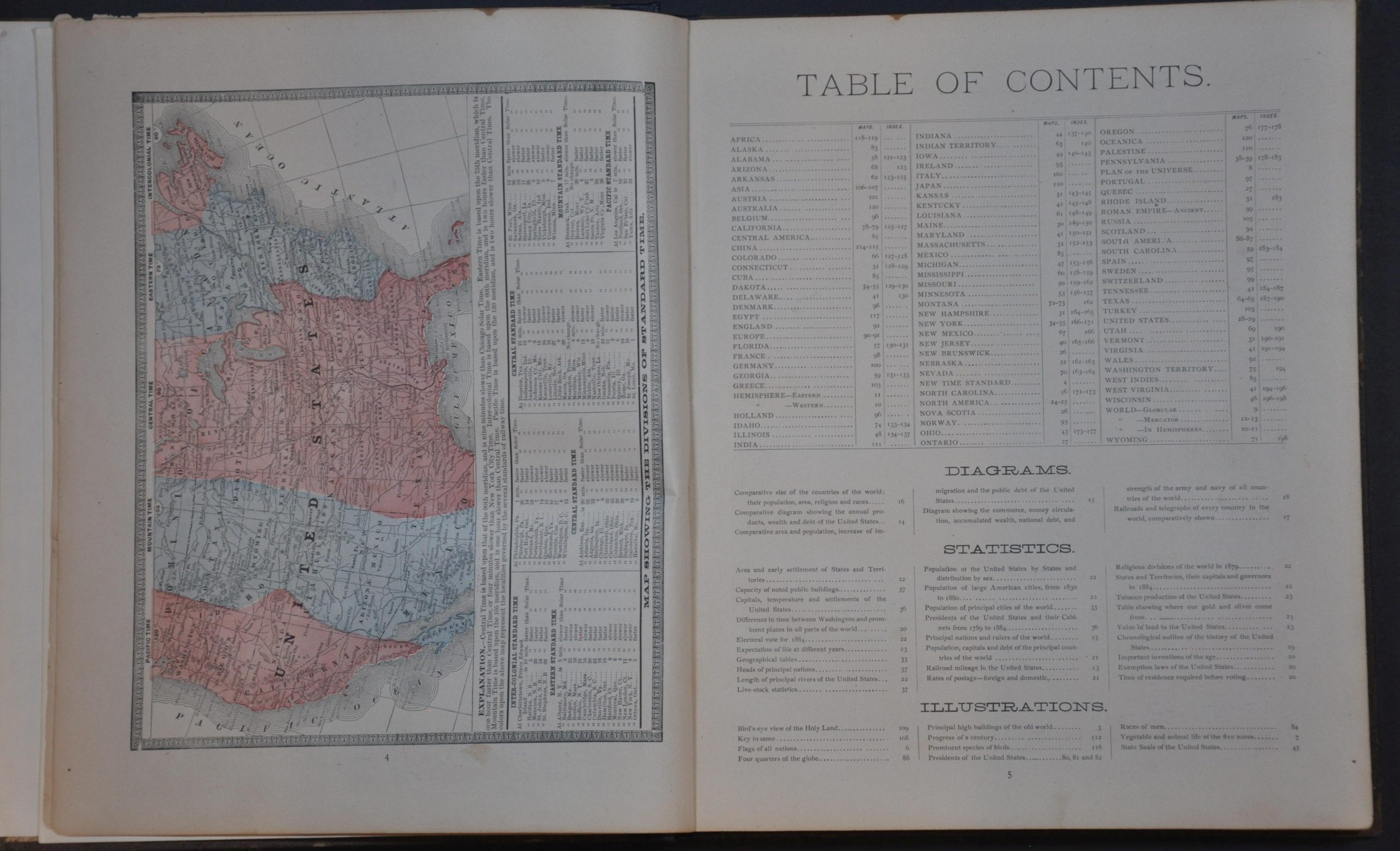
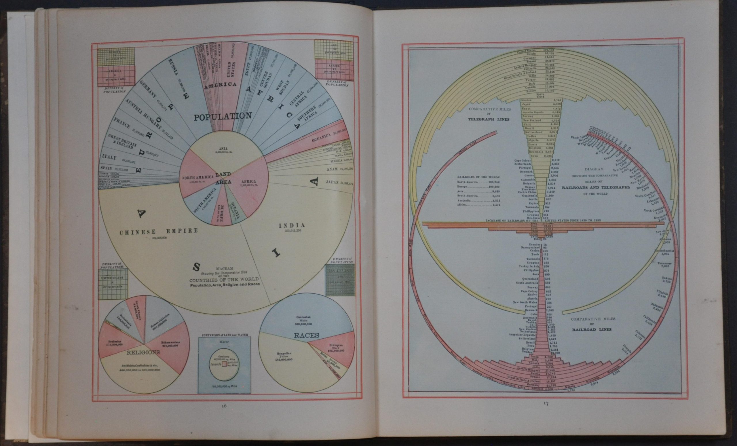
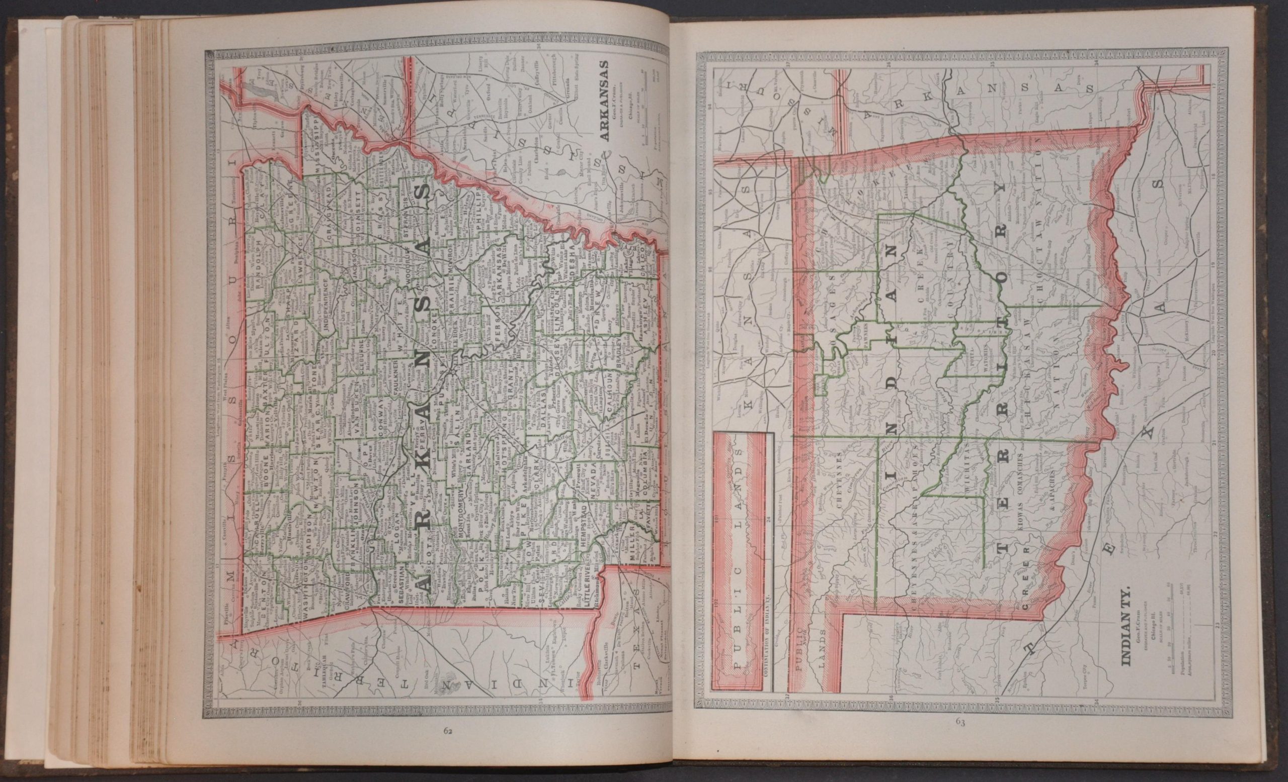
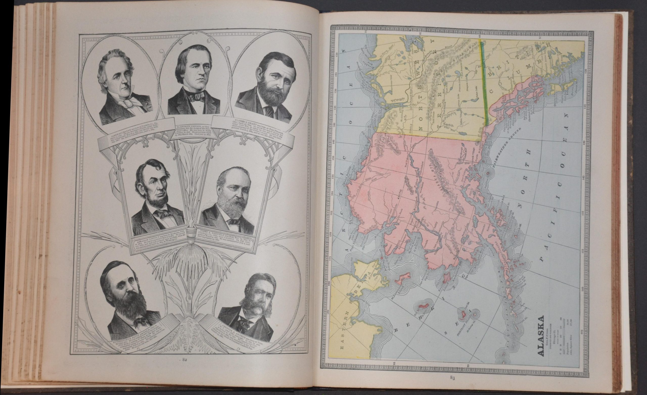
This fascinating color-printed atlas provides an engaging snapshot of American geopolitical interests and educational priorities during the Gilded Age. Nearly 200 pages present a wide variety of maps, charts, illustrations, indices, and descriptive text cataloging the people, places, and products of the world. Railroads, political boundaries, industrial development, and natural resources receive particular emphasis throughout the state and national maps, reflecting the era’s fascination with commerce, territorial expansion, and economic progress.
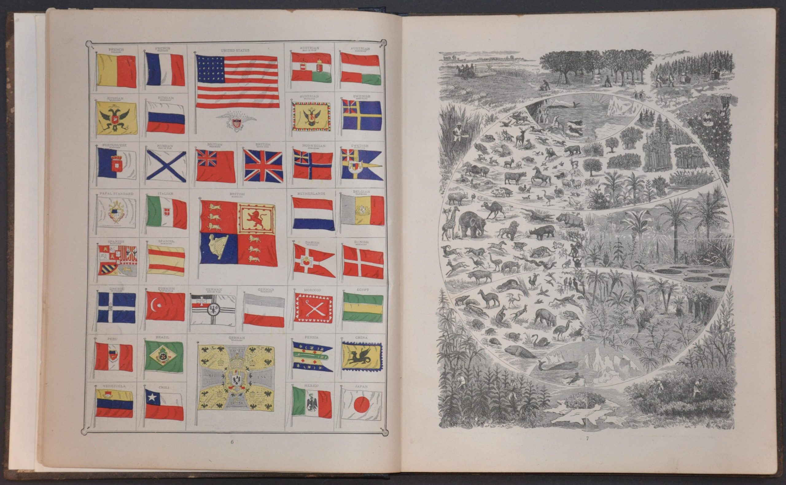
Numerous thematic diagrams further illuminate the nineteenth-century worldview, illustrating subjects as varied as the world’s tallest buildings, the “races of men,” national flags, systems of government, and other statistical comparisons intended to educate and entertain. The contents were copyrighted in 1883 by George F. Cram, published by O.C. Haskell of Des Moines, Iowa, and printed by Chicago’s J.L. Regan & Company.
Map Details
Publication Date: 1883
Author: George F. Cram
Sheet Width (in): 11.00
Sheet Height (in): 13.60
Condition: A-
Condition Description: 198 pp. atlas, complete, rebound in original covers with a new spine and endpapers. Light staining and spotting visible in the margins, a few creased corners, errant tears, and other signs of use and age. Some foxing along the fore-edge. Remains in good to very good condition overall.
Out of stock