
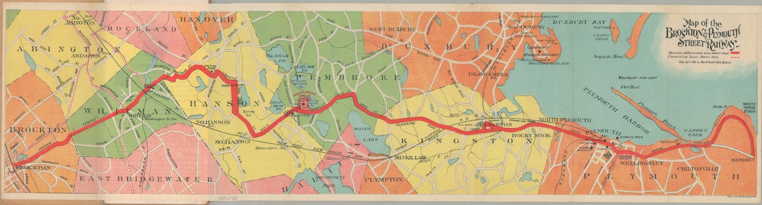
Map of the Brockton & Plymouth Street Railways [with] By Trolley and Inland Alongshore to Plymouth.
$175.00
Early 20th century publication promoting street railway transit in northeastern Massachusetts.
1 in stock
Description
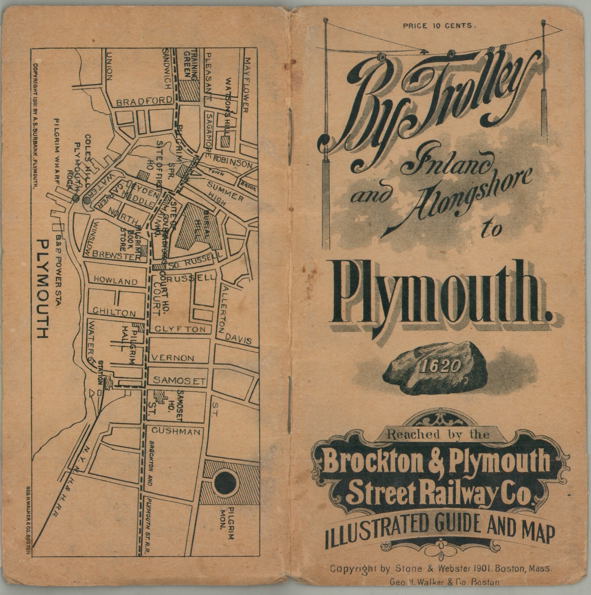
This vibrant color lithograph map highlights the route of the Brockton & Plymouth Street Railway between the two eponymous cities. Connecting lines are indicated with hash marks, and competitor’s routes are relegated to simple black. Historic sites, public buildings, and landmarks are individually labeled within the image. Further information and photographs of many of these attractions can be found in the accompanying 27-page pamphlet. It also includes a number of contemporary advertisements, distance tables, and a street plan of Plymouth, Massachusetts.
The booklet was published in Boston by George H. Walker & Co. in 1901. Copyright by Stone & Webster and issued on behalf of the Brockton & Plymouth Street Railway Company, still in operation today (though trolley service was permanently halted in 1928).
Map Details
Publication Date: 1901
Author: George H. Walker & Co.
Sheet Width (in): See Description
Sheet Height (in): See Description
Condition: A-
Condition Description: Folding map measuring 22.75" x 6" accompanying 26 pp. guidebook, 3" x 6.5", with printed stiff paper wrappers and stapled binding. Wraps are slightly spotted and worn and there are a few creased and chiped coverners. Very good condition overall.
$175.00
1 in stock