Massachusetts
Showing 1–18 of 156 resultsSorted by latest
-

A Map of Concord the Old Musketaquid Plantation
$650.00 Quick View -
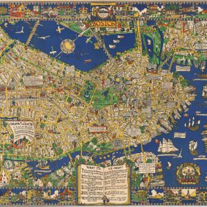
Boston. The Colour of an Old City
$900.00 Quick View -
Summer Resorts of the Coast, Lake, and Mountain Regions along the Boston & Maine Railroad and Connections
$165.00 Quick View -
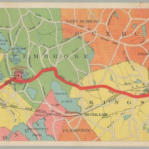
Map of the Brockton & Plymouth Street Railways [with] By Trolley and Inland Alongshore to Plymouth.
$175.00 Quick View -
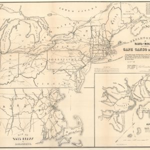
Skeleton Map of Rail-Roads between Cape Canso and St. Louis
$500.00 Quick View -
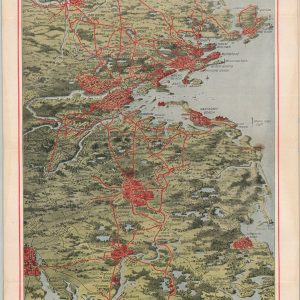
Aero View Map Showing Territory Covered by the Lines of the Bay Street Railway Co. and Their Connections [in] Trolley Trips
$150.00 Quick View -
Tri-State Trolley Map [with] Trolley Facts
$200.00 Quick View -
Boston & Maine Railroad and Connections
$150.00 Quick View -
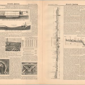
Scientific American Vol. LXVII – No. 25
$60.00 Quick View -
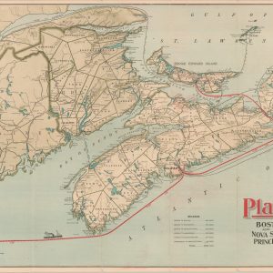
Plant Line Between Boston and Nova Scotia, Cape Breton Island, Prince Edward Island, and Newfoundland
$395.00 Quick View -
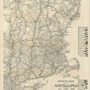
Rand McNally Official Auto Trails Map District No. 6
$150.00 Quick View -
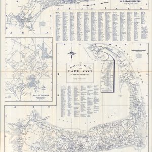
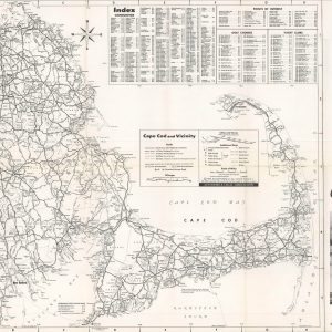
Route Map of Cape Cod
$110.00 Quick View -
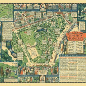
Map of Boston Common with Surrounding Streets & Adjacent Parts of Beacon Hill
$475.00 Quick View -
Map of Cape Cod and Vicinity
$50.00 Quick View -
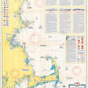
Coastwise Cruising Guide Kennebunkport, ME., to Fall River, Mass.
$95.00 Quick View -
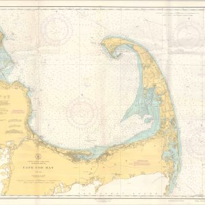
Cape Cod Bay
$95.00 Quick View -
Automobile Road Map Between Portland and Boston
Quick View -
A Map of Concord the Old Musketaquid Plantation
$475.00 Quick View