
Aero View Map Showing Territory Covered by the Lines of the Bay Street Railway Co. and Their Connections [in] Trolley Trips
$150.00
The interurban operations of the Bay Street Railway Company near its height.
1 in stock


Description
The Bay State Street Railway Company was formed in 1911 through the consolidation of several Massachusetts street railways, creating an extensive interurban network serving communities throughout the region. This colorful Aero View map, copyrighted by the Rand Avery Supply Company and dated 1912, uses bright red lines to highlight the company’s routes. Manufacturing centers, beach resorts, forest retreats, and coastal fishing villages are connected by some 940 miles of track over which regular trolley service operated.
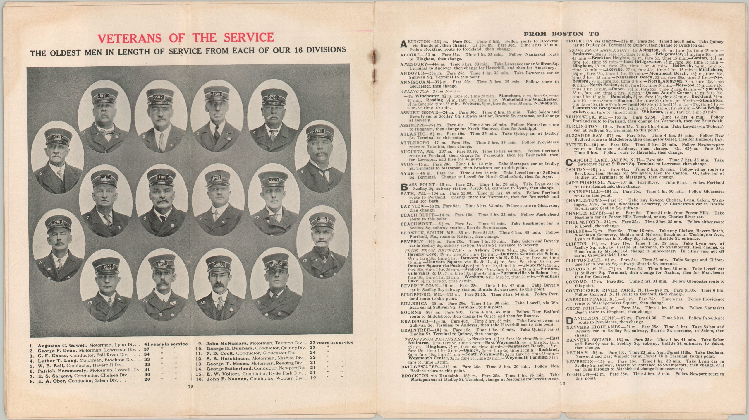
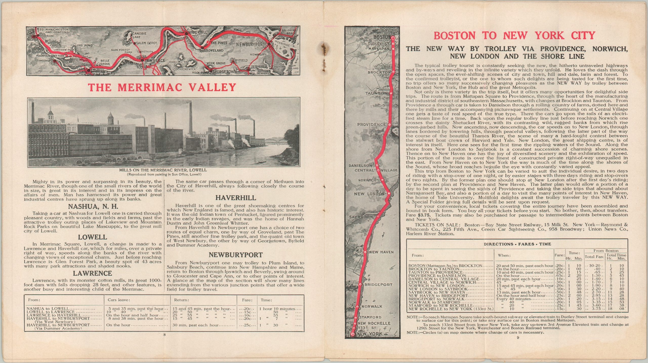
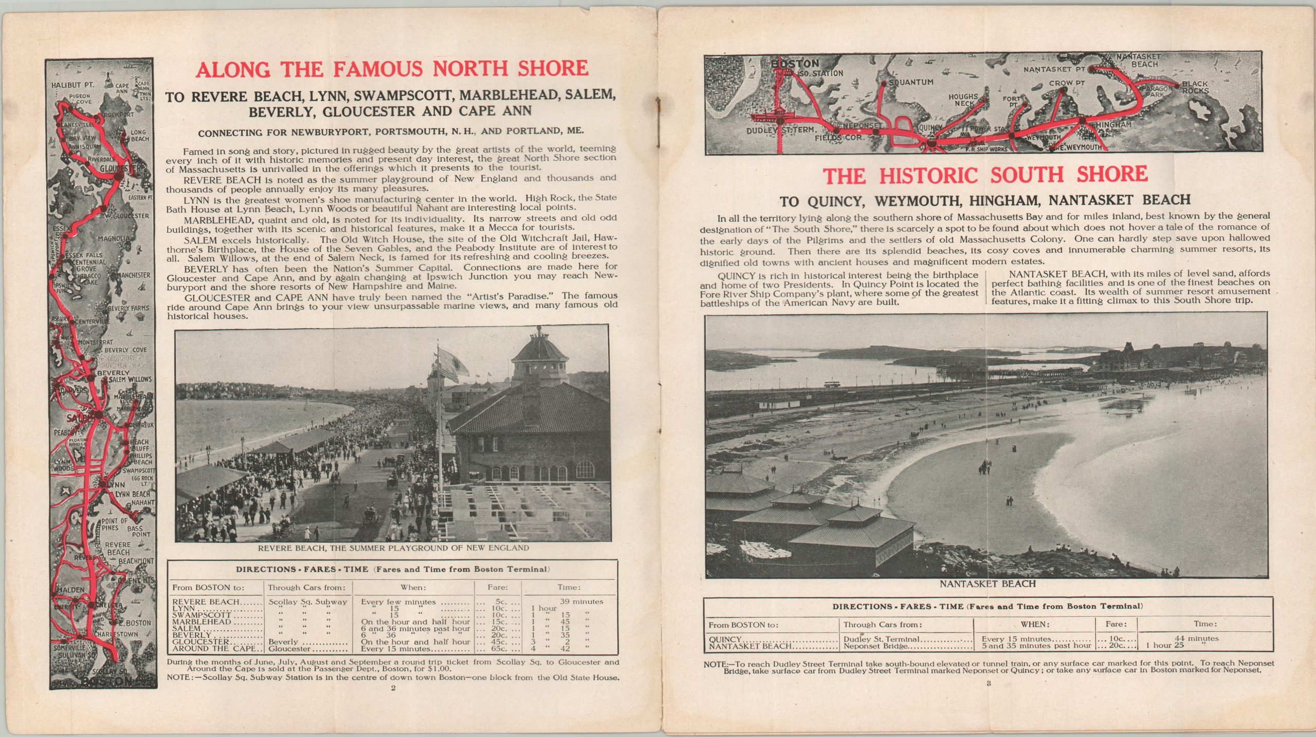
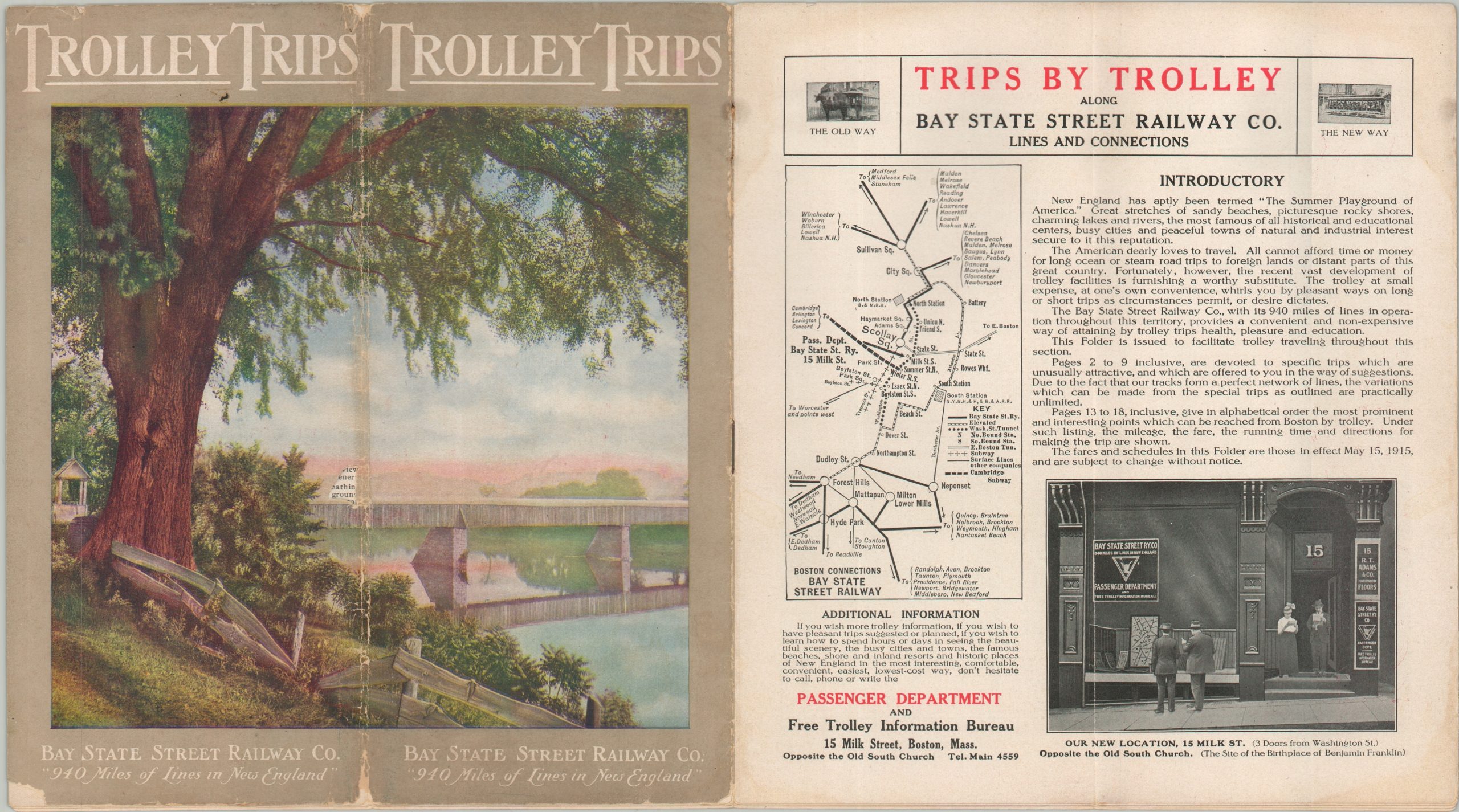
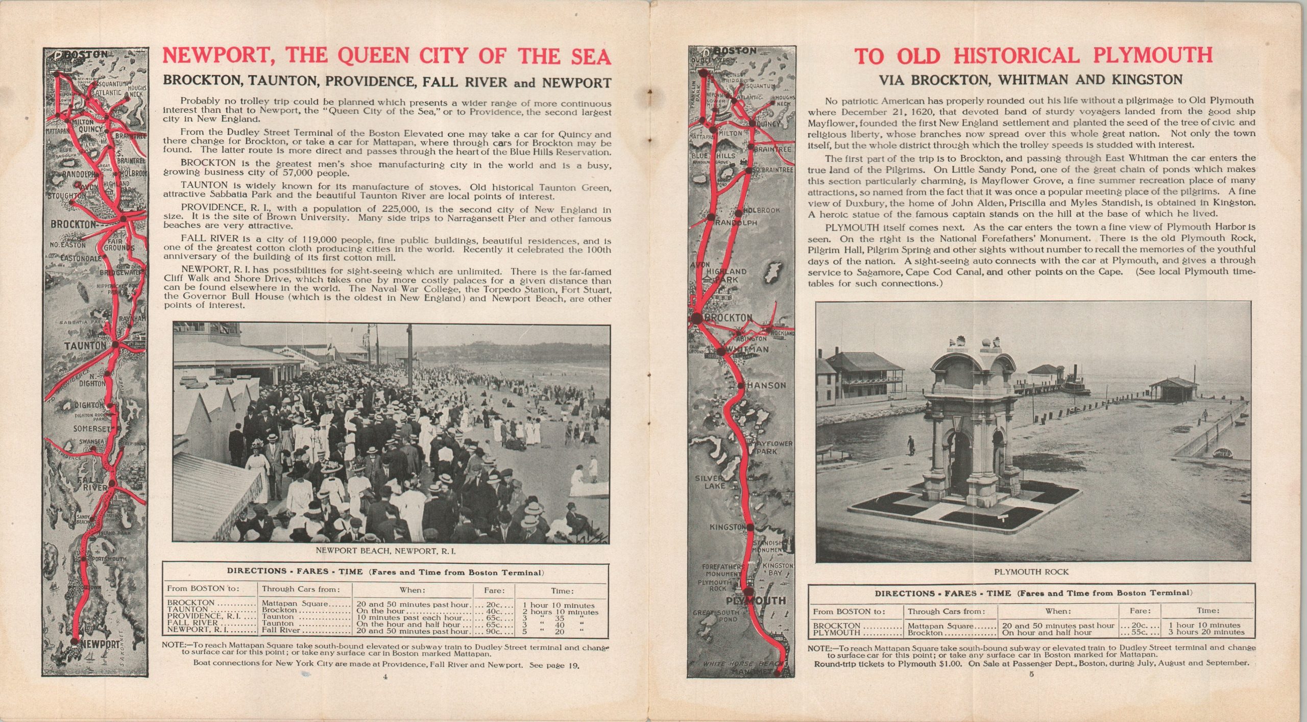
The map appears as the centerfold of a 1915 brochure issued by the Passenger Department of the Bay State Street Railway Company. The brochure promotes a variety of excursions through simple strip maps and descriptive text, with suggested destinations including the North Shore, South Shore, Newport, New York, the Merrimac Valley, and Plymouth. Also included are a corporate introduction, fare tables, an index of travel times (which could be remarkably long by modern standards), a map of Boston connections and freight operations, and portraits of the “Veterans of the Service,” representing the longest-serving employee from each of the company’s 16 divisions.
Map Details
Publication Date: 1915
Author: Rand Avery Supply Company
Sheet Width (in): 9.00
Sheet Height (in): 16.50
Condition: B
Condition Description: Centerfold map in the middle of a 16 pp. timetable/brochure. Rusting and minor image loss from the stapled binding. Minor dampstaining and waviness throughout, most evident in the margins. Small hole in the illustrated covers, repaired on the verso with archival tape. Better than fair, but not quite good condition overall.
$150.00
1 in stock