Boston
Showing 1–18 of 76 resultsSorted by latest
-

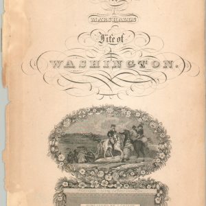
Atlas to Marshall’s Life of Washington
Quick View -
Atlas to Marshall’s Life of Washington
Quick View -
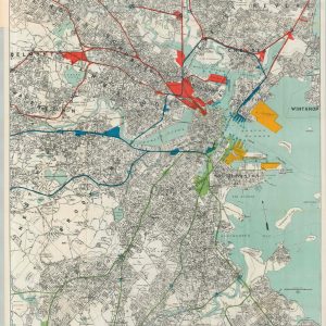
Port of Boston, Massachusetts Showing Railroad and Steamship Facilities
$95.00 Quick View -
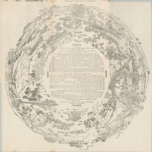
Souvenir Cyclorama of the Battle of Gettysburg
Quick View -
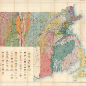
Geologic Map of Massachusetts and Rhode Island
$110.00 Quick View -
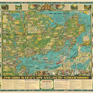
A Picture Map of Cape Ann and the North Shore
Quick View -
The South Shore Massachusetts
$175.00 Quick View -
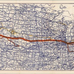
Coast to Coast U.S. 6 Roosevelt Highway
$110.00 Quick View -
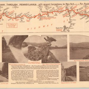
Map Cleveland Boston New York via Roosevelt Highway – Pennsylvania
Quick View -
Official National Highway 20 Association Map
$100.00 Quick View -
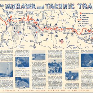
Mohawk and Taconic Trail
$75.00 Quick View -
Automobile Map of New England Showing the Ideal Tour
$175.00 Quick View -
Boston and Maine R.R. Operating Divisions
$60.00 Quick View -
Phelps’ Hundred Cities and Large Towns of America, with Railroad Distances Throughout the United States, Maps of Thirteen Cities, and Other Embellishments
$425.00 Quick View -
The Air Line Shortest, Fastest Scenic Motor Route Between New York and Boston
$350.00 Quick View -
Mount Auburn, Avenues and Paths
Quick View -
Tremont Street [Boston]
$75.00 Quick View -
Birds Eye View [and] Base Hospital Camp Devens, Ayer Mass.
Quick View


![Tremont Street [Boston]](https://curtiswrightmaps.com/wp-content/uploads/map_8.27x16.56_08-19-25_inv007471c-300x300.jpg)
![Birds Eye View [and] Base Hospital Camp Devens, Ayer Mass.](https://curtiswrightmaps.com/wp-content/uploads/map_38.15x8.32_04-09-25_inv006810-1-300x300.jpg)