
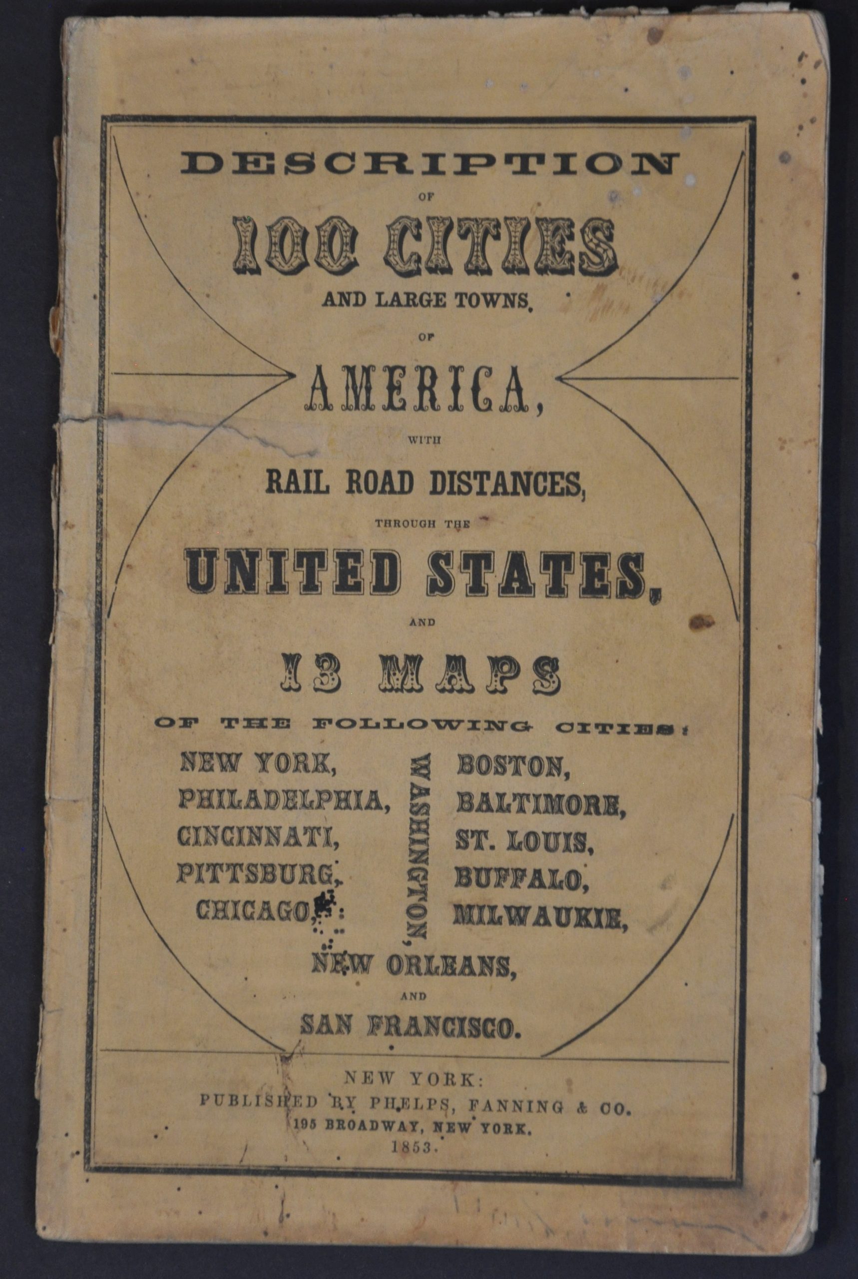
Phelps’ Hundred Cities and Large Towns of America, with Railroad Distances Throughout the United States, Maps of Thirteen Cities, and Other Embellishments
$425.00
An insightful review of America’s cities during the mid-19th century.
1 in stock



Description
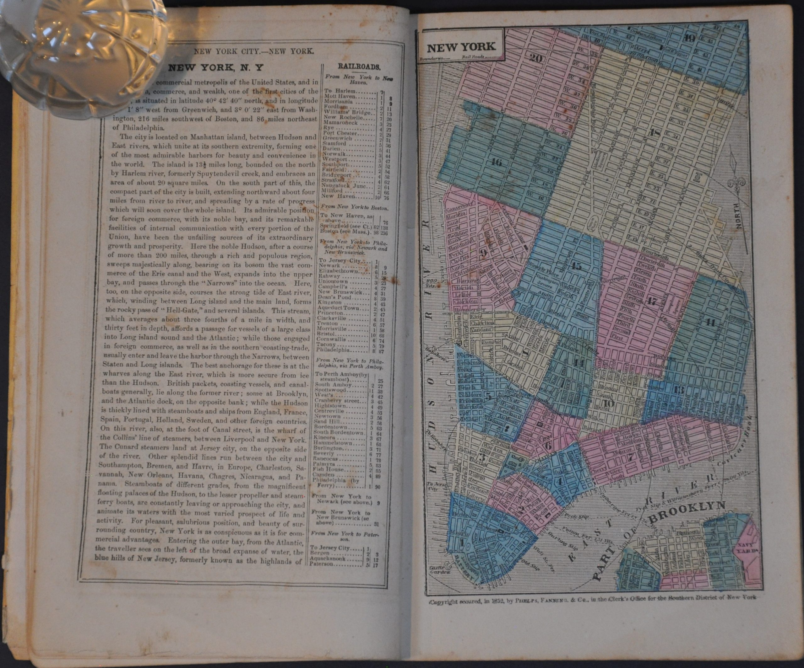
This interesting mid-19th century assessment of the American urban environment was published in New York by Phelps, Fanning & Co. in 1853. The printed text provides succinct descriptions of 100 large towns and cities, with color street maps of New York, Philadelphia, Cincinnati, Pittsburgh, Chicago, Boston, Baltimore, St. Louis, Buffalo, Milwaukee, New Orleans, and San Francisco. The ‘other embellishments’ referenced in the title include a view of the New York Crystal Palace, a map of the United States, a bird’s-eye view of New York, and several woodcut illustrations of prominent buildings.
Map Details
Publication Date: 1853
Author: Phelps, Fanning & Co.
Sheet Width (in): 5.75
Sheet Height (in): 9.25
Condition: B+
Condition Description: 80 pp. booklet with string binding and original yellow paper wraps. The front cover has a 3" tear (repaired with archival material) and both wraps show moderate spotting and edge wear. Minimal to moderate foxing, a few creased corners, and scattered soiling affects the contents, which remain tightly bound. The city plans feature attractive original hand color. Good condition overall.
$425.00
1 in stock