
Rand McNally Official Auto Trails Map District No. 6
$150.00
The roads of New England shortly after America’s entry into World War I.
1 in stock

Description
This densely informative road map of Eastern New York and New England was published in 1918 by Rand McNally – District No. 6 in the firm’s series of Auto Trails Maps. Bold black lines identify the routes of privately sponsored highways, identified in the accompanying legend on the right side. These privately sponsored roadways were often inefficient, unpredictable, and overlapping – ultimately resulting in their replacement with the introduction of the Numbered Highway System in 1926. Electric and steam railroads are also noted, offering a comprehensive transportation overview. Geographic features, towns of all sizes, and recommended businesses (garages, hotels, etc.) are also labeled throughout.
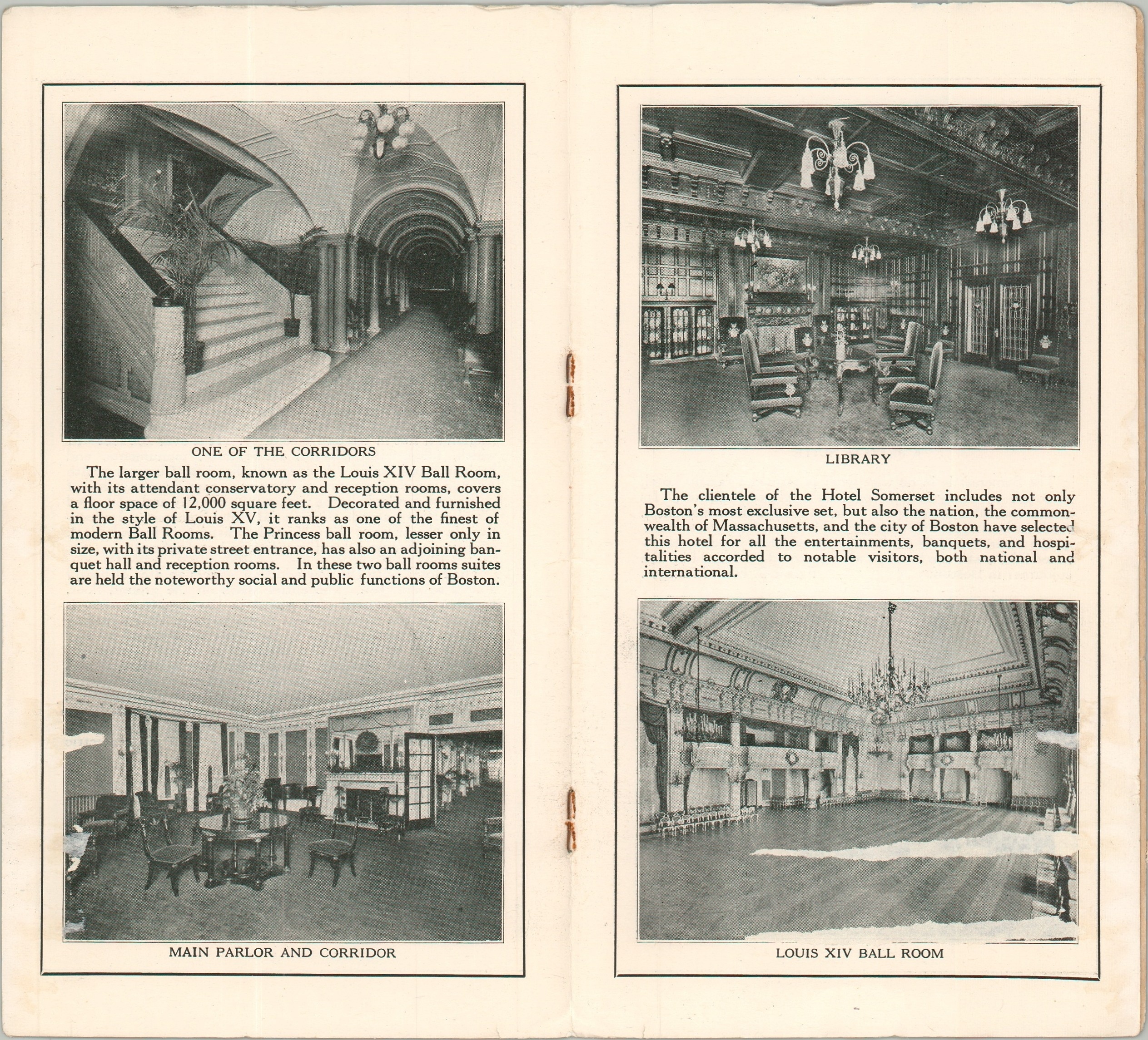
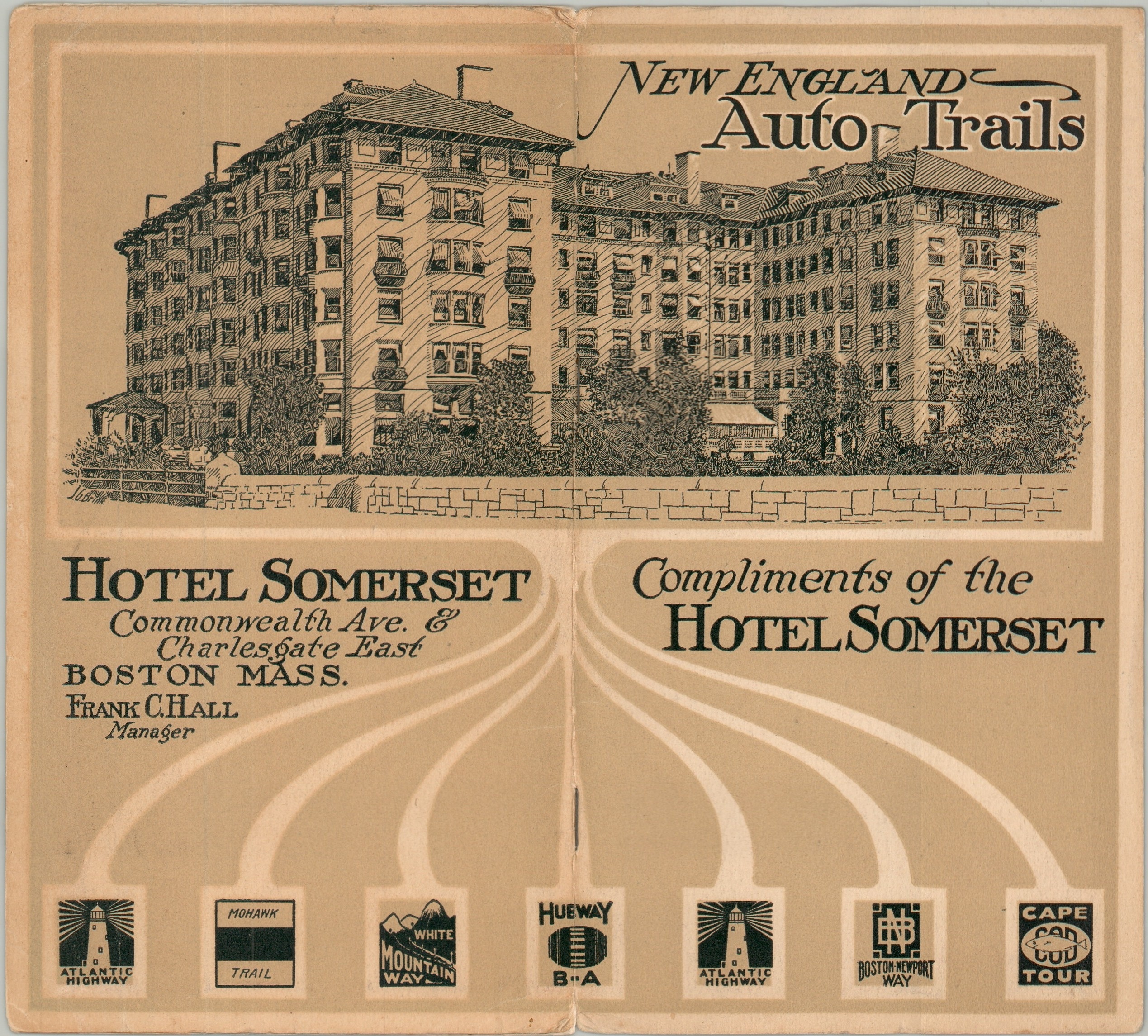
The map was issued with an ephemeral booklet advertising Boston’s Hotel Somerset. The original building was completed on the city’s outskirts in 1897, with an annex and ballroom added in the early 20th century. It became one of Boston’s premier hotels – a few pages of photographs highlight the lavish interior of ‘The Ideal Hotel Home for Transient and Permanent Guests.’ The hotel was converted to condos in the 1980s and can still be seen today.
Source: Lost New England
Map Details
Publication Date: 1918
Author: Rand McNally & Company
Sheet Width (in): 21.80
Sheet Height (in): 28.00
Condition: A
Condition Description: Single-sided map, folded and slipped into original paper covers. Wraps have stapled binding and include 4 pages of text with a bit of light wear. Faintly toned along the outer edges of the sheet. Very good overall.
$150.00
1 in stock