Maine
Showing 1–18 of 92 resultsSorted by latest
-

Summer Resorts of the Coast, Lake, and Mountain Regions along the Boston & Maine Railroad and Connections
$165.00 Quick View -
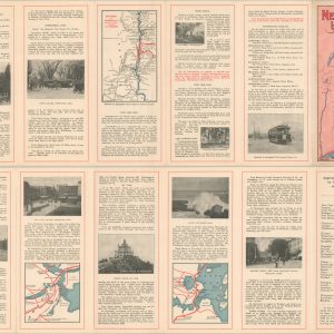
New England by Trolley
$95.00 Quick View -
Boston & Maine Railroad and Connections
$150.00 Quick View -
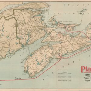
Plant Line Between Boston and Nova Scotia, Cape Breton Island, Prince Edward Island, and Newfoundland
$395.00 Quick View -
Aroostook Valley R.R. Map Showing Connection with Canadian Pacific Railway
$250.00 Quick View -
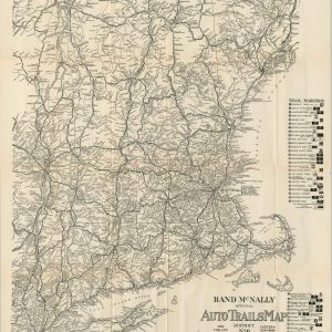
Rand McNally Official Auto Trails Map District No. 6
$150.00 Quick View -
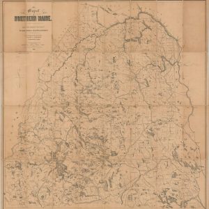
Map of Northern Maine. Specifically adapted to the Uses of Lumbermen and Sportsmen
$425.00 Quick View -
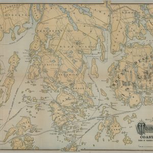
Map of Mount Desert Island and the Coast of Maine
Quick View -
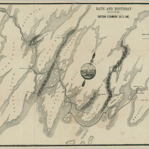
Bath and Boothbay Route Eastern Steamboat Co.’s Line
Quick View -
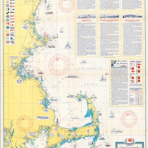
Coastwise Cruising Guide Kennebunkport, ME., to Fall River, Mass.
$95.00 Quick View -
Automobile Road Map Between Portland and Boston
Quick View -
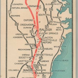
The Short Highway North-South
$60.00 Quick View -
Automobile Map of New England Accompanying Interstate Automobile Tourist’s Guide
$295.00 Quick View -
Pennsylvania Indemnity Exchange Junior Auto Trails Atlas of the Eastern United States
$95.00 Quick View -
Rand McNally Official 1924 Auto Trails Map New Hampshire Vermont [and] Maine
$95.00 Quick View -
Rand McNally Junior Auto Road Map of New England States
$110.00 Quick View -
New England Tours for 1915
$125.00 Quick View -
A New Map of Part of the United States of North America, containing those of New York, Vermont, New Hampshire, Massachusets, Connecticut, Rhode Island, Pennsylvania, New Jersey, Delaware, Maryland and Virginia
$450.00 Quick View