
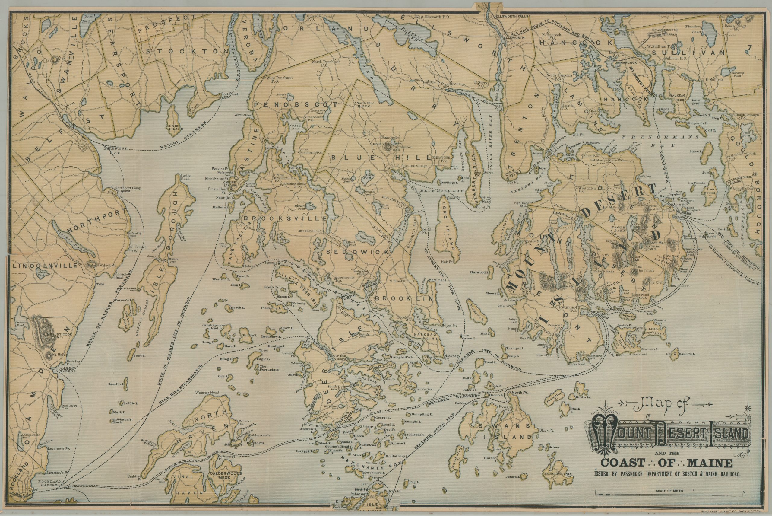
Map of Mount Desert Island and the Coast of Maine
The easiest ways to get to Maine’s Mount Desert Island in the late 1880s.
Out of stock
Description
This uncommon late 19th-century map presents Mount Desert Island, Maine, at the height of the Gilded Age Rusticator Boom. The name ‘Rusticator’ originated with the intrepid artists, journalists, outdoorsmen, and other visiting outsiders who first began to appreciate the rustic landscape and natural beauty of the island (today, Acadia National Park). They initially relied on local fishermen and simple accommodations for their summer retreats, though the popularity eventually spawned into an entire travel industry during the Victorian era.
The promotional piece was issued around 1887 by the passenger department of the Boston & Maine Railroad. The company was one of the primary regional transportation operators, offering an ‘All-Rail Route’ that terminated at the Mt. Desert Ferry in Hancock (see upper right). Rail competitors like the Maine Central and the Knox & Lincoln are noted, along with several steamship lines, including those of the Silver Star, City of Richmond, Mt Desert, and the Blue Hill Steamboat Company.
Map Details
Publication Date: c. 1887
Author: Boston & Maine Railroad
Sheet Width (in): 23.75
Sheet Height (in): 15.00
Condition: B+
Condition Description: Color printed map on thin paper with narrow margins, likely as issued. Creased along folds and some faint wear along the outer edges of the sheet. A bit of extraneous wrinkling on the right side and some tiny edge tears, repaired on verso. Good to very good condition overall.
Out of stock