
The Western Hemisphere
$95.00
An authoritative map of the Western Hemisphere from the late 18th century.
1 in stock
Description
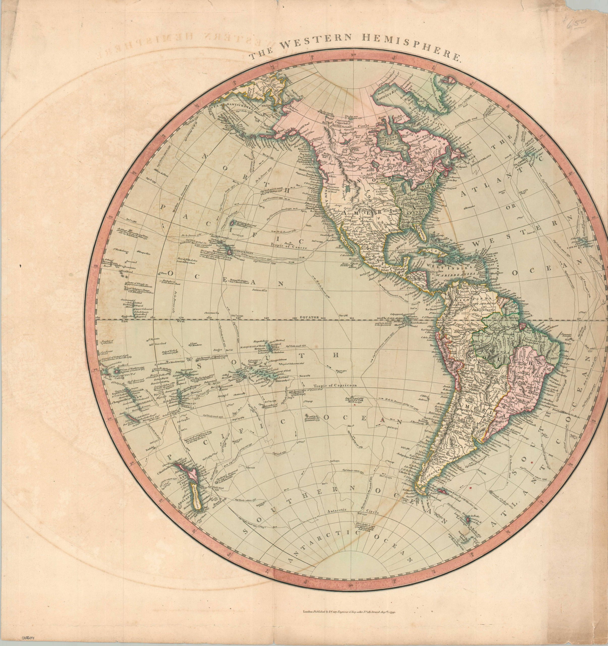
This striking map of the Western Hemisphere was prepared in 1799 by John Cary for eventual inclusion in his New Universal Atlas (first published in 1808). Cary was a talented engraver and cartographer who helped to revolutionize the map industry into a scientific endeavor focused on tangible facts, rather than fanciful illustrations and speculative geography. His work is a crisp, detailed snapshot of the Americas during a time of rapid exploration and shifting empires.
North America is split between the Spanish, British, and United States; with the last ending abruptly at the Mississippi, prior to its incorporation of the Louisiana Territory. Early place names for Milwaukee and Chicago are particularly notable. The Rockies are prominently depicted in an attractive pictorial style, though the huge, unexplored West is largely absent of toponyms (with the exception of the coast). South America, with the exception of Brazil, was under longtime Spanish control and divided into viceroyalties. Voyages of Cook, La Perouse, and Vancouver are tracked throughout the Pacific, with numerous islands and charted coastlines reflecting their historic expeditions.
Map Details
Publication Date: 1799/1808
Author: John Cary
Sheet Width (in): 20.40
Sheet Height (in): 21.60
Condition: B-
Condition Description: Engraved map with full original hand color, on a trimmed sheet that's cut off part of the right side (see scan). Heavy offsetting and marginal wear.
$95.00
1 in stock