Report of Lieut. Col. J.D. Graham, U.S. Topographical Engineers, on Mason and Dixon’s Line
$225.00
Revisiting the Mason-Dixon Line almost a century after it was first surveyed.
1 in stock
Description
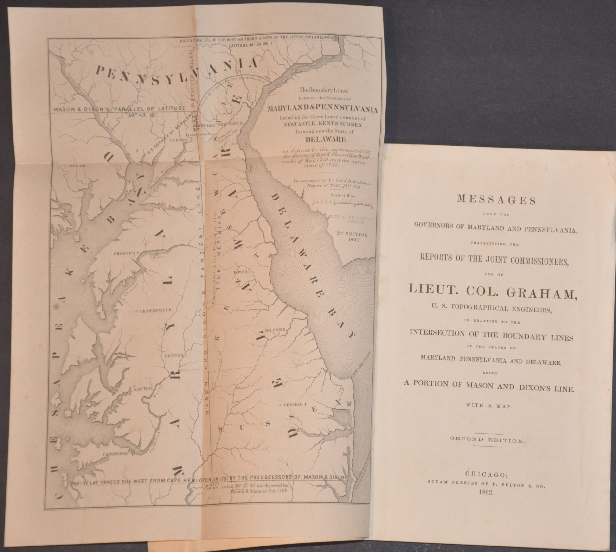
The Mason–Dixon Line was surveyed between 1763 and 1767 by English astronomers Charles Mason and Jeremiah Dixon to resolve a long-running boundary dispute between the colonies of Pennsylvania and Maryland. It forms the boundaries between Pennsylvania, Maryland, Delaware, and West Virginia, replacing ambiguous colonial charters with a precisely defined border. Over time, this line came to symbolize the cultural and political division between North and South, especially regarding slavery in the 19th century.
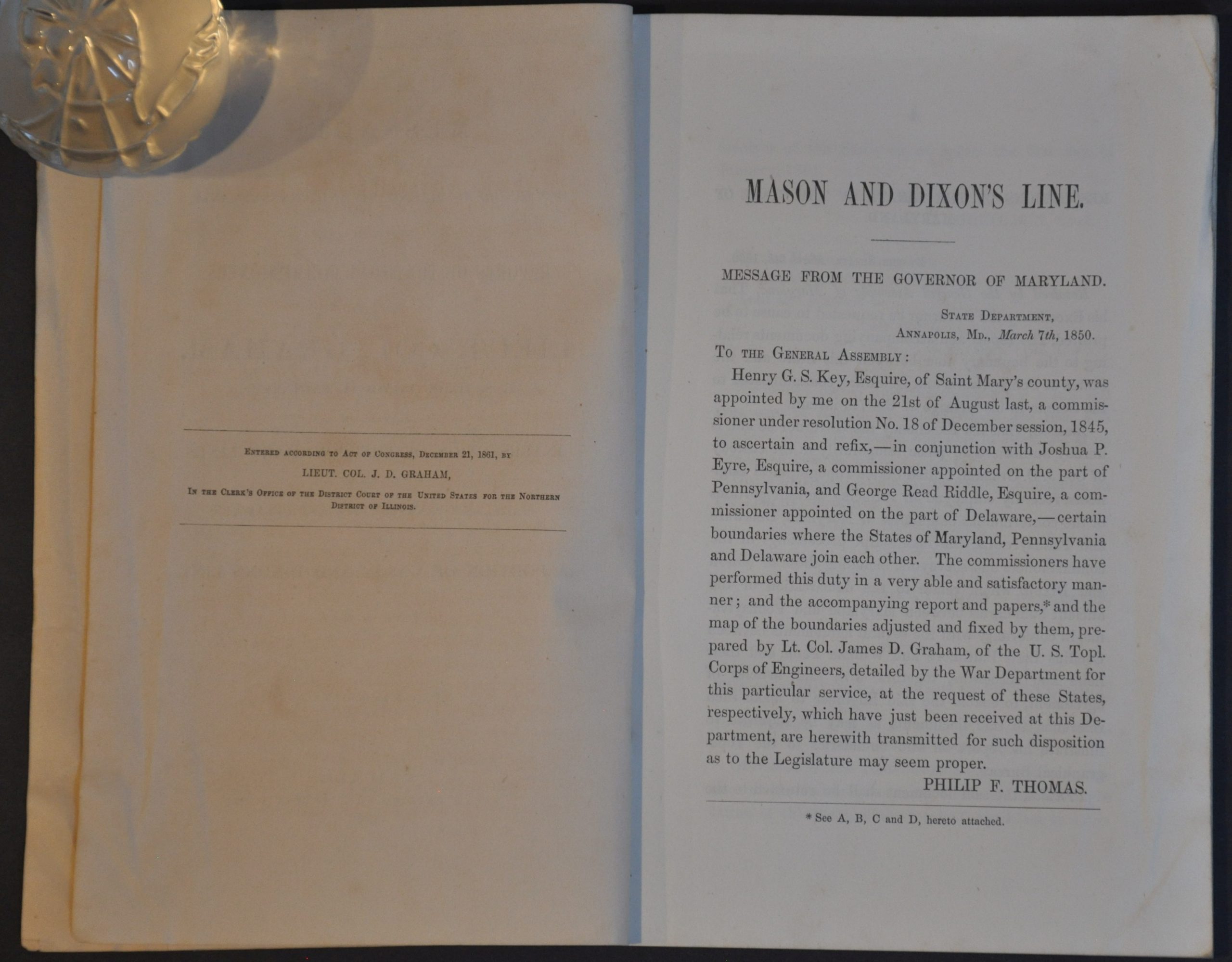
This report was first compiled by U.S. Army Lieutenant Colonel James Duncan Graham in 1850, shortly after he re-surveyed the line for the first time after the original Mason & Dixon. The contents, almost 100 pages in all, include copies of correspondence, tables of distances, a brief history of the survey work and methodology, copies of correspondence, and related legislation/resolutions. A fold-out map titled The Boundary Lines Between the Provinces of Pennsylvania and Maryland, including the three lower counties of Newcastle, Kent, and Sussex now forming the State of Delaware” is tipped in opposite the title page.
This is the second edition of the report, printed in Chicago in 1862 by F. Fulton & Co. The map was lithographed by Edward Mendel (also of Chicago), but the contents appear to be unchanged from the first edition. The Civil War-era booklet may have been issued (twelve years after the original!) in response to the contemporary conversation about the admission of West Virginia to the Union.
Map Details
Publication Date: 1862
Author: James Duncan Graham
Sheet Width (in): See Description
Sheet Height (in): See Description
Condition: A-
Condition Description: 95 pp. booklet bound with string in original brown paper wraps. Some wrinkling effects the first 1" or so of the fore-edge of the front cover and first several pages. Contents are Slightly toned and show a bit of foxing and the errant spot of soiling, consistent with age. Includes fold out map that measures approximately. Good to very good condition overall.
$225.00
1 in stock