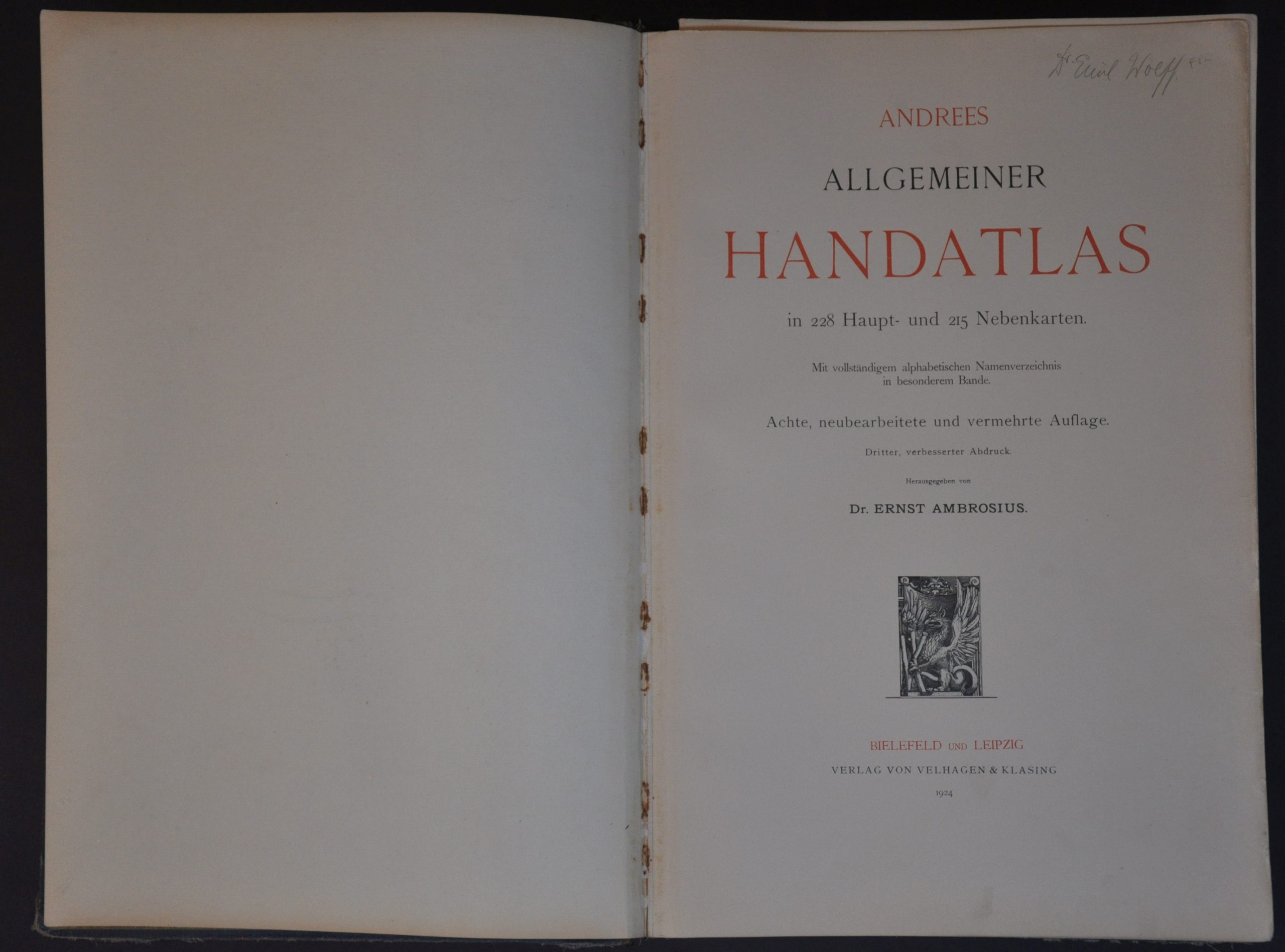
Andrees Allgemeiner Handatlas
$275.00
The world after the dust has settled from The Great War.
1 in stock
Description
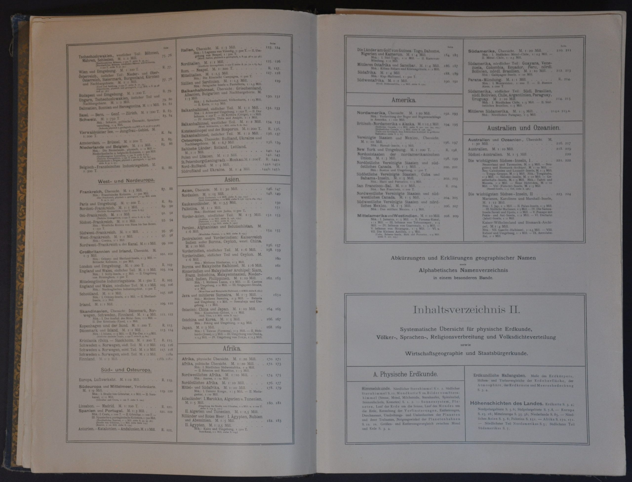
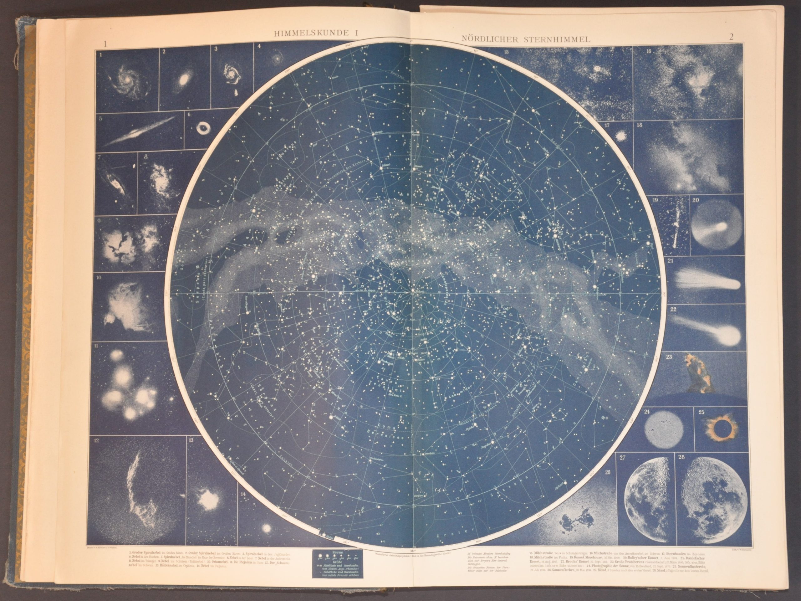
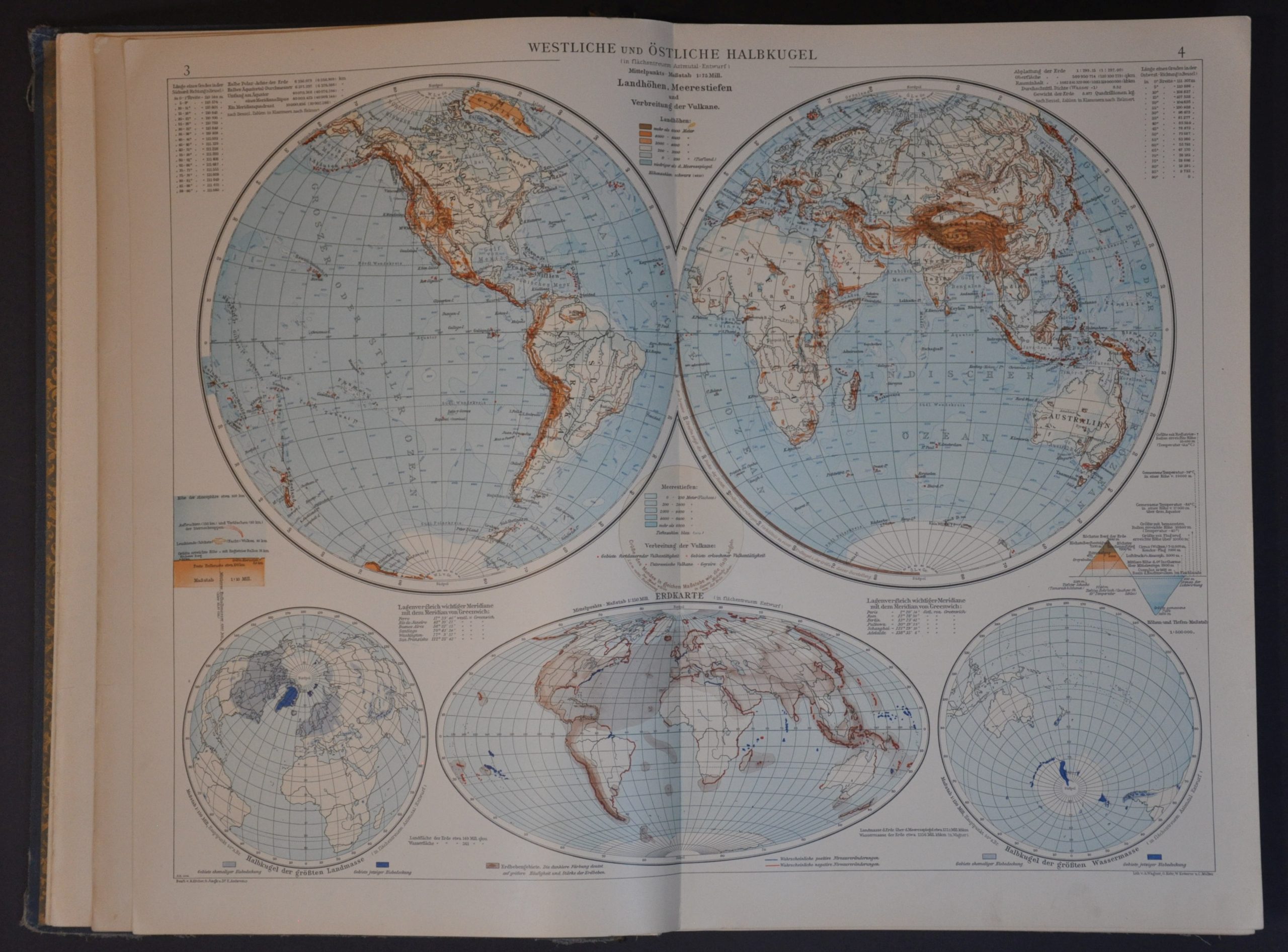
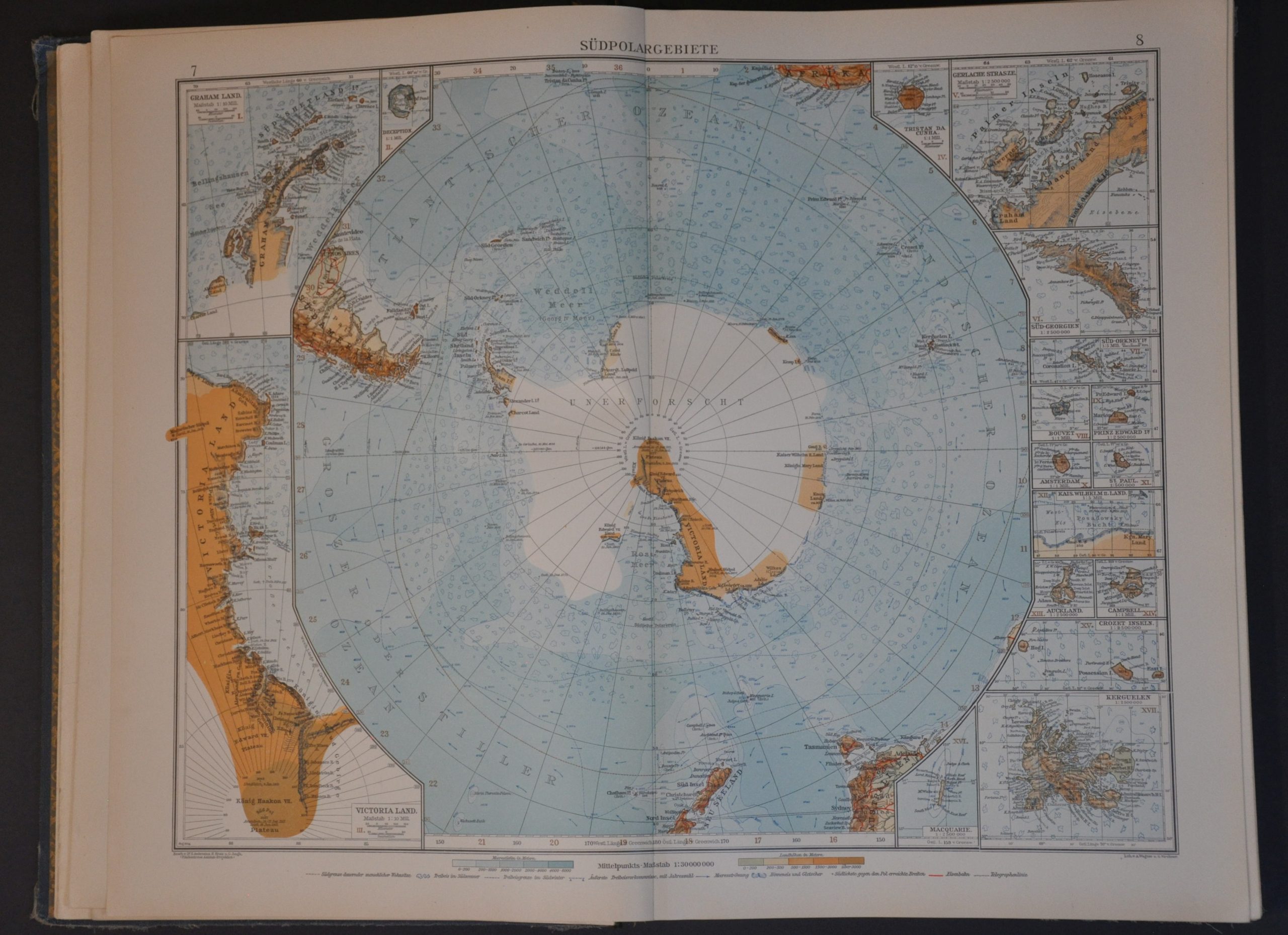
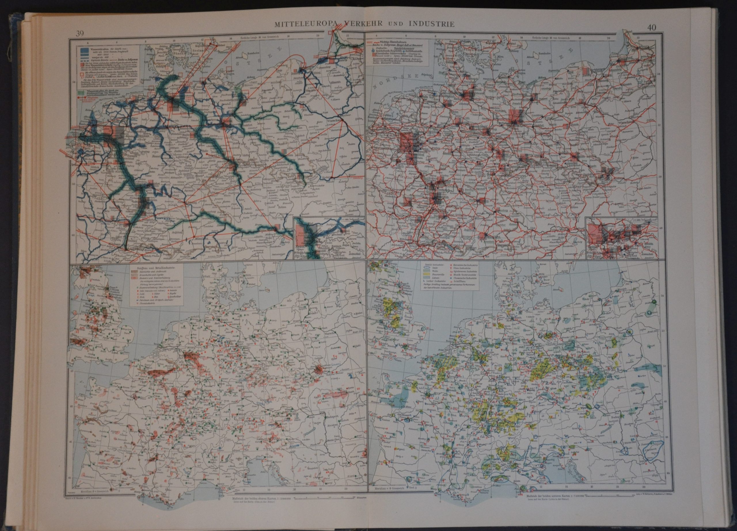
This stunning German atlas offers a unique window into the priorities and perspectives of the Western world, using the latest available data and production methods. A series of obsessively detailed chromolithographed maps offers a vibrant political and physical overview of the entire known world. Thematic contents include the polar regions, the universe, global commerce, climate, religion, city plans, transportation, colonial possessions, and more.
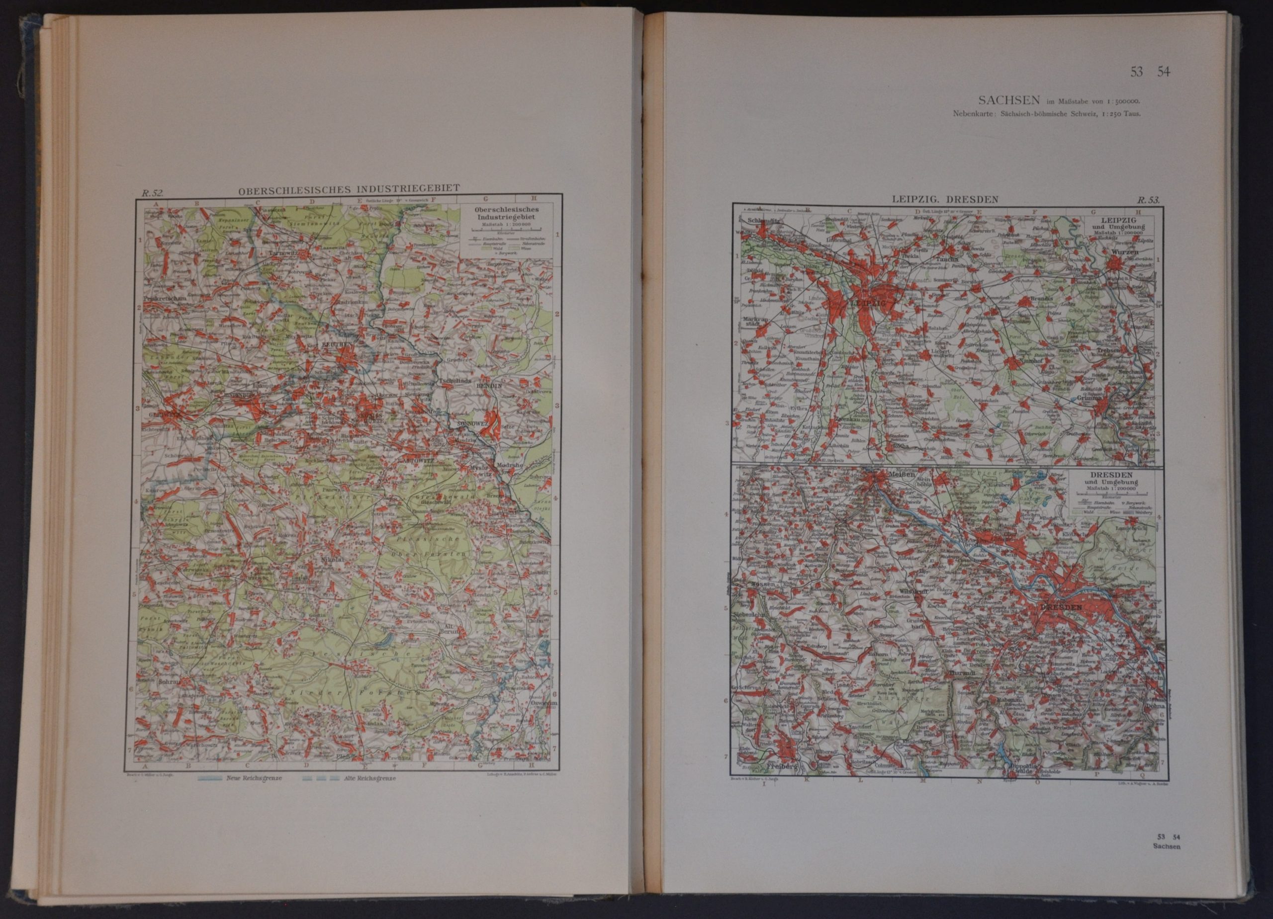
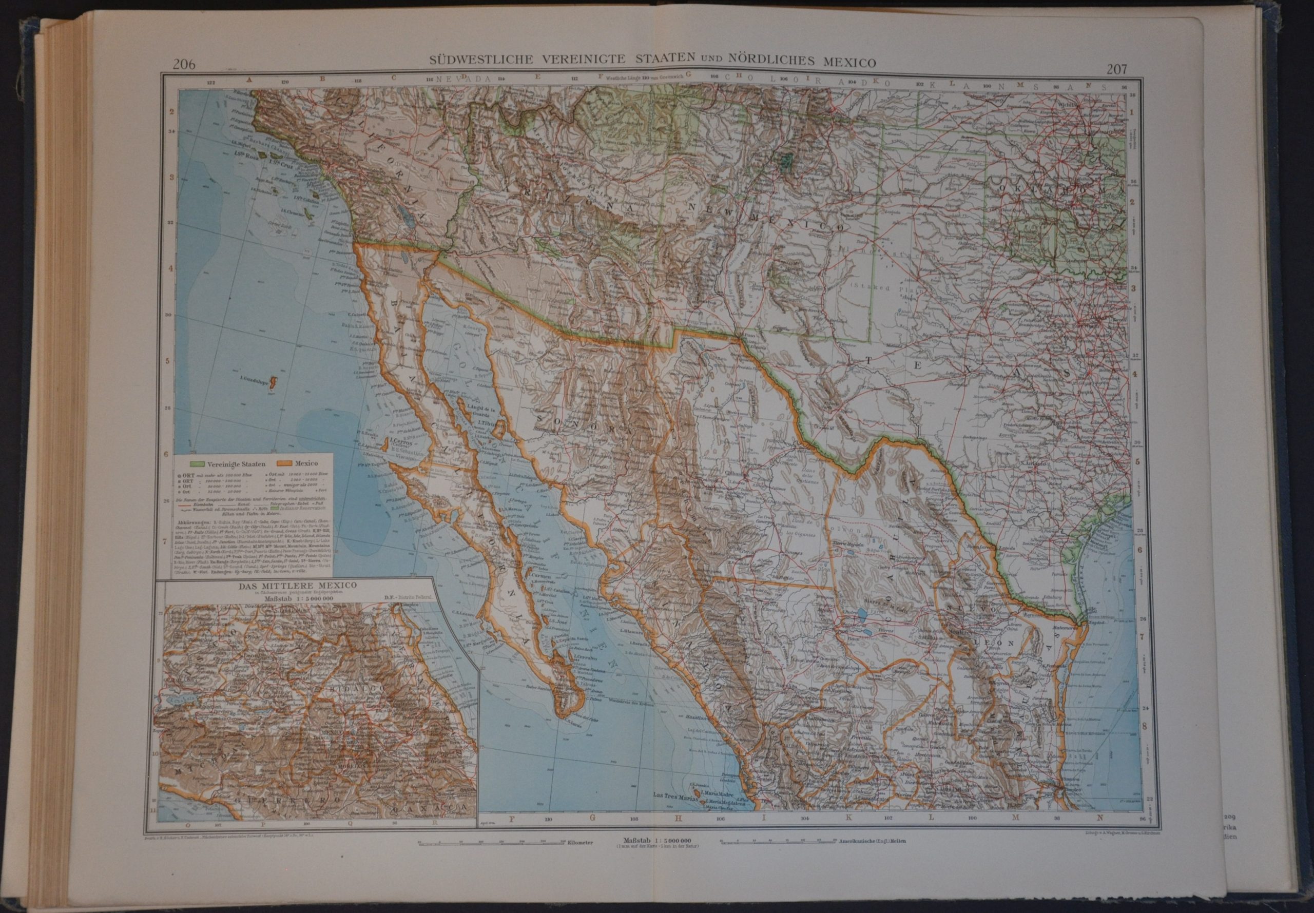
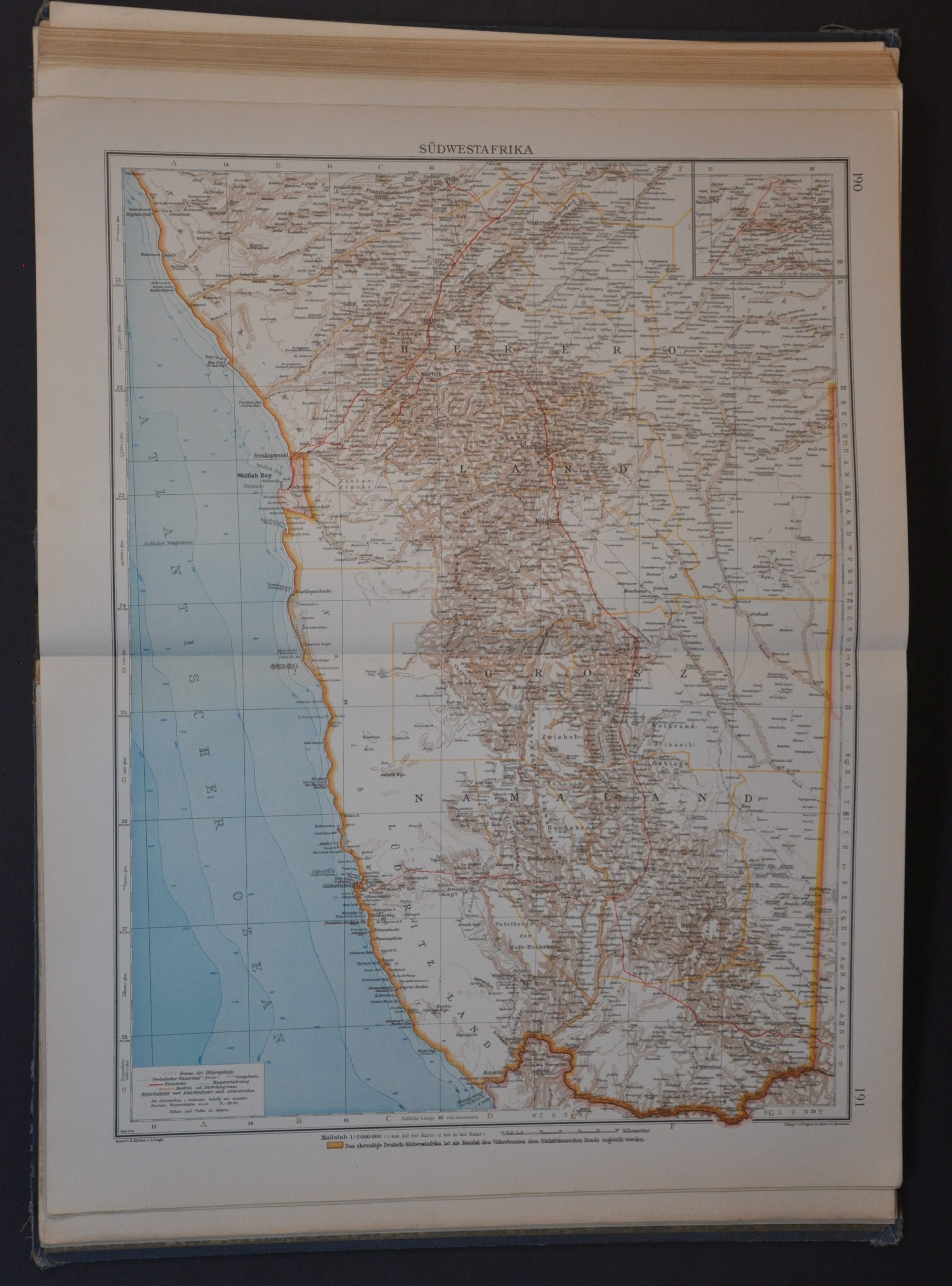
Numerous maps cover the various constituent components of the Weimar Republic, which was recovering from extreme hyperinflation at the time. Ireland is clearly delineated along the lines of the 1921 Anglo-Irish Treaty and the newly formed nations of Poland, Czechoslovakia, and the Baltic Trio (Estonia, Latvia, and Lithuania) are each given their proper independent status, albeit in the shadows of their former overlords. Despite being officially declared in 1924, the Soviet Union does not seem to make a formal political appearance – there are separate sheets for the various regions like North Russia, Ukraine, etc. (though the name Leningrad has been appended to the St. Petersburg plan). Somewhat surprisingly, the 1923 establishment of Turkey has been overlooked and the territory is named geographically, Klein Asien (Asia Minor). Colonial possessions are specifically highlighted on nearly every political map, with implied competition between France, Germany, and Britain. Rising global nationalism and significant bloodshed would slowly erode the regimes of European dominance in the coming decades.
This is the third reprint of the eighth edition of Andrees General Handatlas, one of the finest German cartographic publications of the 19th and 20th centuries. Edited by Dr. Ernst Ambrosius and published in 1924 by Velhagen & Klasing.
Map Details
Publication Date: 1924
Author: Dr. Ernst Ambrosius
Sheet Width (in): 11.75
Sheet Height (in): 17.50
Condition: A-
Condition Description: Marvelous, complete collection of chromolithography maps bound in original blue cloth boards with lavish gilt endpapers. 224 pages, plus several appended according to the index. Front shows moderate damp staining that does not affect the contents. Some light rusting from the staples in the binding and the spine is loose, with two 'groups' of sheets separated as a result (but still present and in good shape).
$275.00
1 in stock