
Nordovicum
$295.00
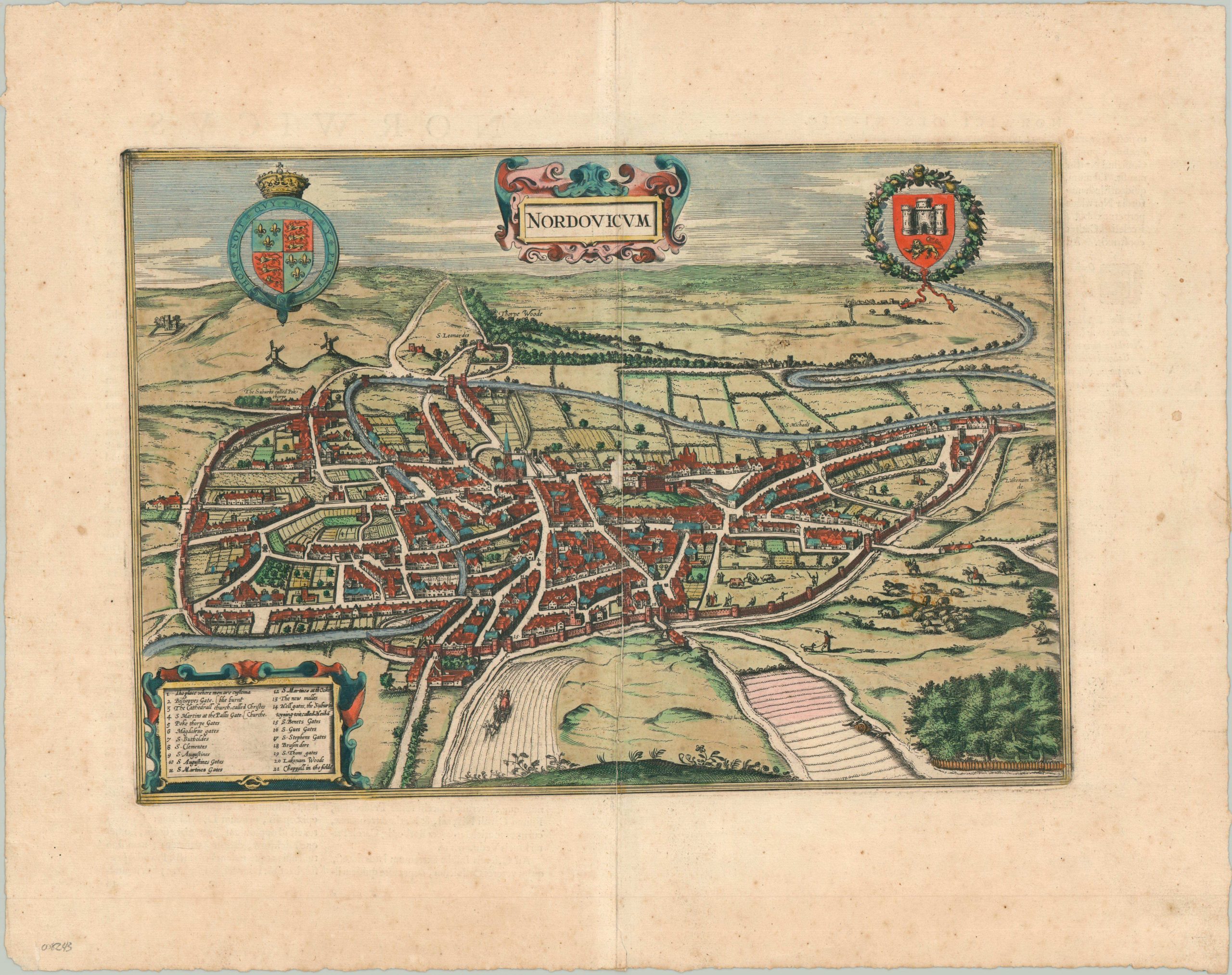
Striking 17th-century view of the city of Norwich (in the 16th century).
1 in stock
Description
This gorgeous aerial view of Nordovicum (Latin for Norwich) was first depicted in 1558, in a version by local physician and astrologer William Cuningham (the earliest surviving complete printed map of an English provincial town). This image was replicated and more widely distributed by Braun & Hogenberg a few decades later. This still later example, issued about a century after the original, was published in Amsterdam as part of Jan Jansson’s eight-volume series of town and city views.
Apart from a changed title and the removal of the costumed figures in the foreground, the depiction of Norwich remains largely the same as the original. A medieval walled city sits amid rolling pastures, woodlands and carefully cultivated fields. Numerous features – gates, churches, the ‘new milles,’ and the customs house are identified in the accompanying legend. Still others, like the Castle and the suburb of Pokthorpe, are labeled directly. The Norwich Cathedral (the Cathedral Church of the Holy and Undivided Trinity) is depicted prominently in the center of the image.
Map Details
Publication Date: 1657
Author: Jan Jansson/Braun & Hogenberg
Sheet Width (in): 21.50
Sheet Height (in): 17.00
Condition: B
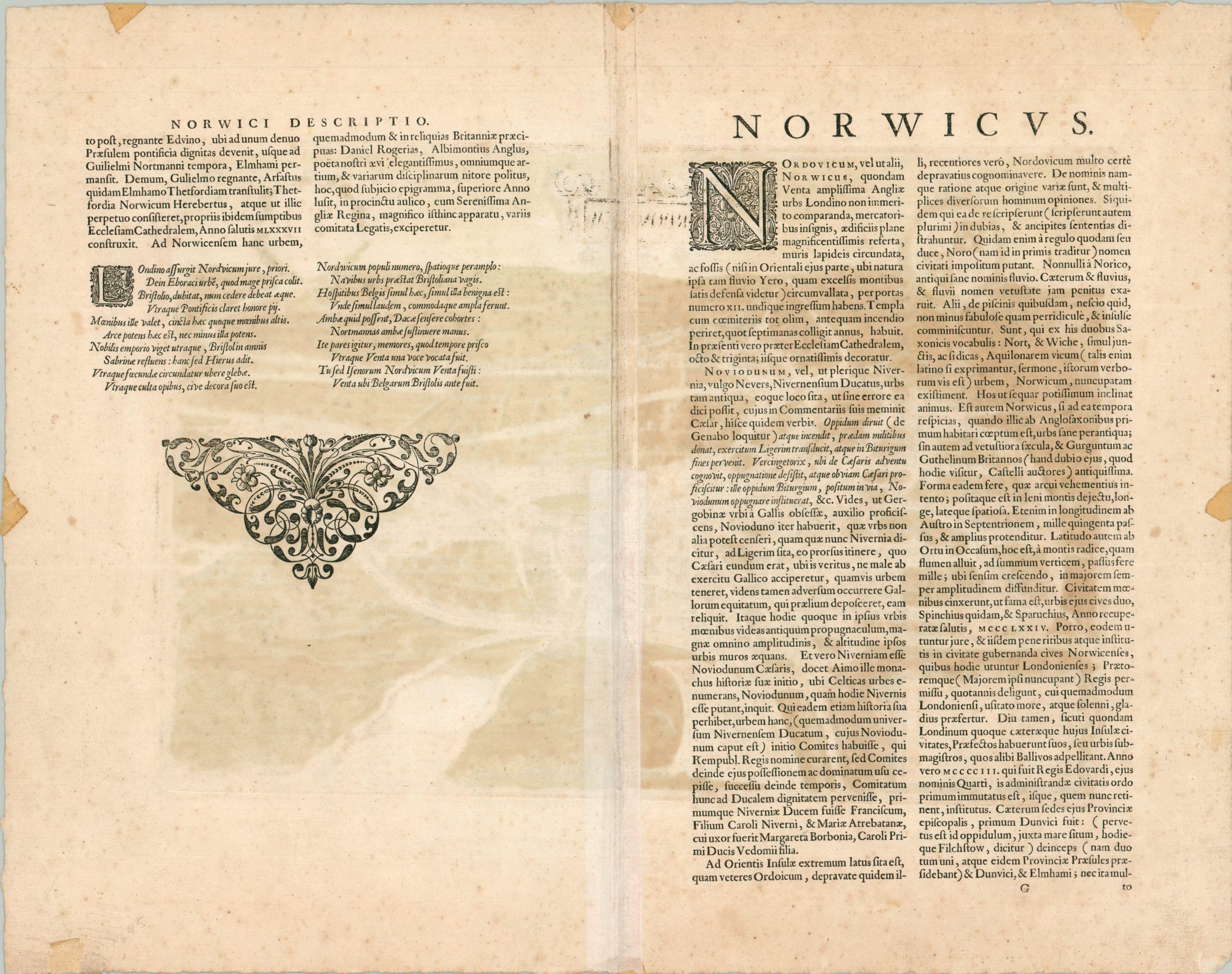
Condition Description: Copperplate engraved sheet with original hand color. Latin text on verso. Some moderate foxing in the margins and a 4" split along the centerfold repaired on verso with archival tape. The centerfold also shows some lightening. About good condition overall.
$295.00
1 in stock