
Empire
Showing 19–36 of 1301 resultsSorted by latest
-

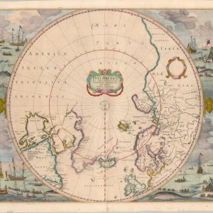
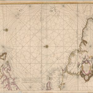
Poli Arctici, et Circumiacentium Terrarum Descriptio Novissima
$1,800.00 Quick View -
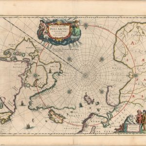
Nova et Accurata Poli Arctici et terrarum Circum Iacentium Descriptio
$2,000.00 Quick View -
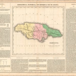
Geographical, Statistical, and Historical Map of Jamaica
$100.00 Quick View -
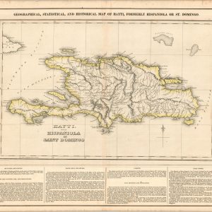
Geographical, Statistical, and Historical Map of Hayti, Formerly Hispaniola or St. Domingo.
$100.00 Quick View -
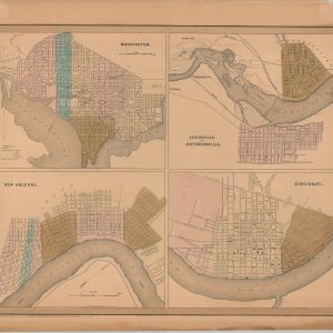
Washington, Louisville and Jefferson, New Orleans, and Cincinnati
$60.00 Quick View -
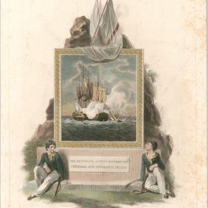
The Desperate Action Between the Terrible and Vengeance, Dec. 1757
$100.00 Quick View -
[Locations of U.S. Naval Coal Depots]
$225.00 Quick View -
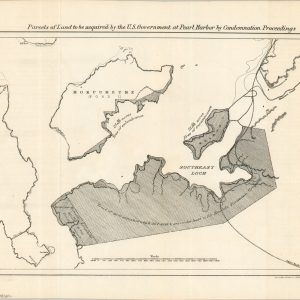
Parcels of Land to be acquired by the U.S. Government at Pearl Harbor by Condemnation Proceedings
$350.00 Quick View -
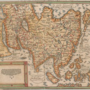
Asia wie es jetziger zeit nach den fürnemesten Herrschafften abgetheilet und beschrieben
$400.00 Quick View -
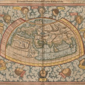
Ptolemeisch General Tafel / die hable kugel der Welt begreifende
$1,400.00 Quick View -
Plan of U.S. Naval Station Lands Honolulu, Hawaii
$225.00 Quick View -
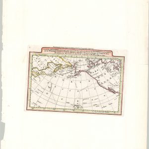
A Map of the Discoveries Made by Capt. Cook & Clerke in the Years 1778 & 1779 between the Eastern Coast of Asia and the Western Coast of North America…
$225.00 Quick View -
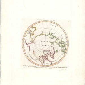
A Map of the Countries Situated About the North Pole as far as the 50th Degree of North Latitude
$200.00 Quick View -
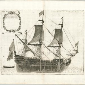
Nave di Primo Rango
$1,250.00 Quick View -
Nave di Civ. Cannoni colle fue proportioni tagliata a mezzo per uedere le di lei Parti interne
$1,000.00 Quick View -
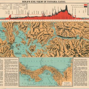
Bird’s Eye View of Panama Canal
$145.00 Quick View -
Pascaerte van Brazil en Nieu Nederlandt van Cuorvo en Flores tot de Barbados nu eerst uytgegeven
$1,600.00 Quick View -
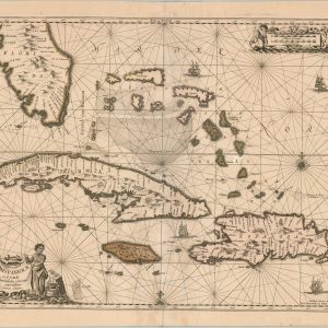
Insularum Hispaniolae et Cubae Cum Insulis circum jacentibus accurata delineatio
$1,250.00 Quick View



show blocks helper