
Washington, Louisville and Jefferson, New Orleans, and Cincinnati
$60.00
The importance of navigable water to early American cities.
1 in stock
Description
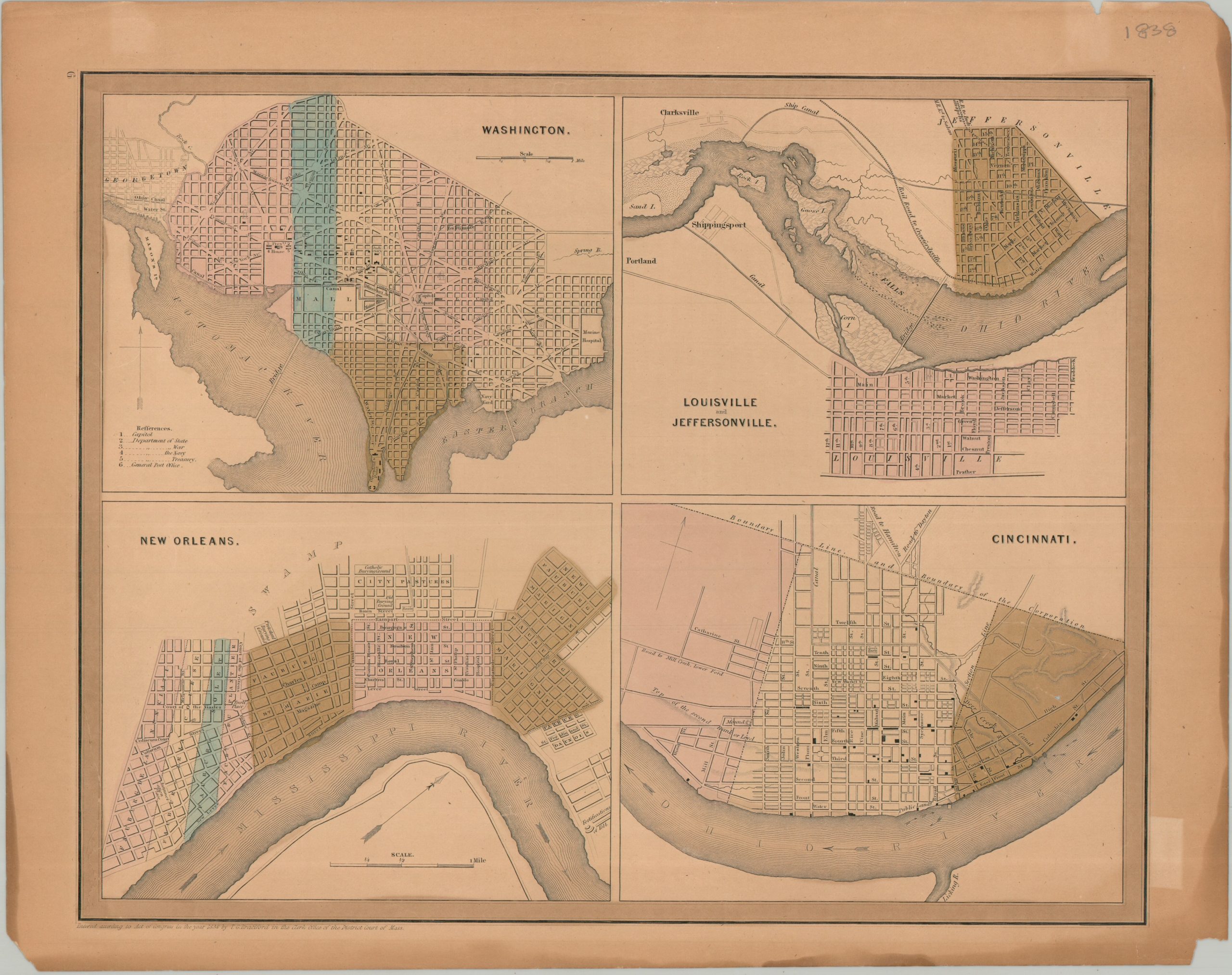
This interesting antique map was published in Boston in 1838, originally as part of Thomas Bradford’s influential Illustrated Atlas, Geographical, Statistical, And Historical, Of The United States And The Adjacent Countries. The composite image, engraved by G.W. Boyton, presents relatively simple street plans of four important American cities – Washington, D.C, Louisville, Cincinnati, and New Orleans. Basic features are labeled on each map, which reflect the realities of urban planning around major waterways.
Map Details
Publication Date: 1838
Author: Thomas G. Bradford
Sheet Width (in): 16.25
Sheet Height (in): 13.10
Condition: B
Condition Description: Engraved maps with full original color on a toned sheet, especially evident in the margin. Oxidization from the green color has resulted in several tears and brittleness, repaired on the verso with archival tape. Small chip in the lower right. but overall in good condition.
$60.00
1 in stock