
Empire
Showing 37–54 of 1301 resultsSorted by latest
-

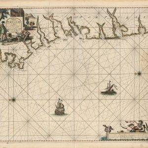
Paskaart von Gallissien ou Portugal Van C. de Finisterre totaen Zurara
$900.00 Quick View -
First Part of Asia Being Turky, Arabia, Persia, most of India and Tartary. Plate VII. South Arabia
$135.00 Quick View -
Gaikaiko yokohama no zenzu [Complete Picture of the Newly Opened Port of Yokohama Harbor]
$2,500.00 Quick View -
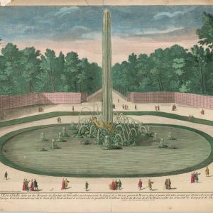
Fontaine de L’Encelade
$200.00 Quick View -
Oceania and Malaysia
$80.00 Quick View -
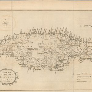
A New Map of the Island of Jamaica from an Actual Survey
$150.00 Quick View -
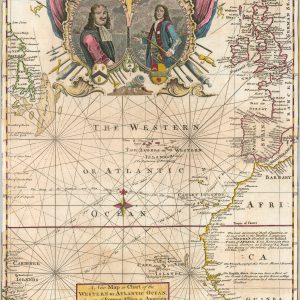
A New Map or Chart of the Western or Atlantic Ocean with part of Europe, Africa & America
$250.00 Quick View -
A Pictorial Map of Historic Panama
$110.00 Quick View -
Report of the U.S. Nicaragua Surveying Party, 1885
$250.00 Quick View -
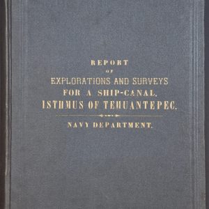
Reports of Explorations and Surveys, to Ascertain the Practicability of a Ship-Canal Between the Atlantic and Pacific Coasts by the way of the Isthmus of Tehuantepec
$250.00 Quick View -
Sold Out
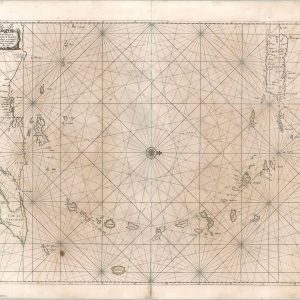
[Dutch Chart of the Lesser Antilles]
Quick View -
Ceylon
$600.00 Quick View -
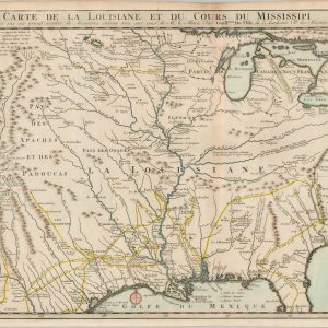
Carte de la Louisiane et du cours du Mississipi dressée sur un grand nombre de mémoires entr’autres sur ceux de Mr. le Maire, par Guillaume De l’Isle
$750.00 Quick View -
Sold Out
Mapa Histórico de la Vida de Simón Bolívar
Quick View -
Sold Out
The Eleven Regional Federation Comprising the World Federation System
Quick View -
Croscup’s United States History with Synchronic Charts Maps, and Statistical Diagrams
$125.00 Quick View -
Mapa Histórico de la Vida de Simón Bolívar
$345.00 Quick View -
Sold Out
How We Acquired Our National Territory
Quick View







show blocks helper