
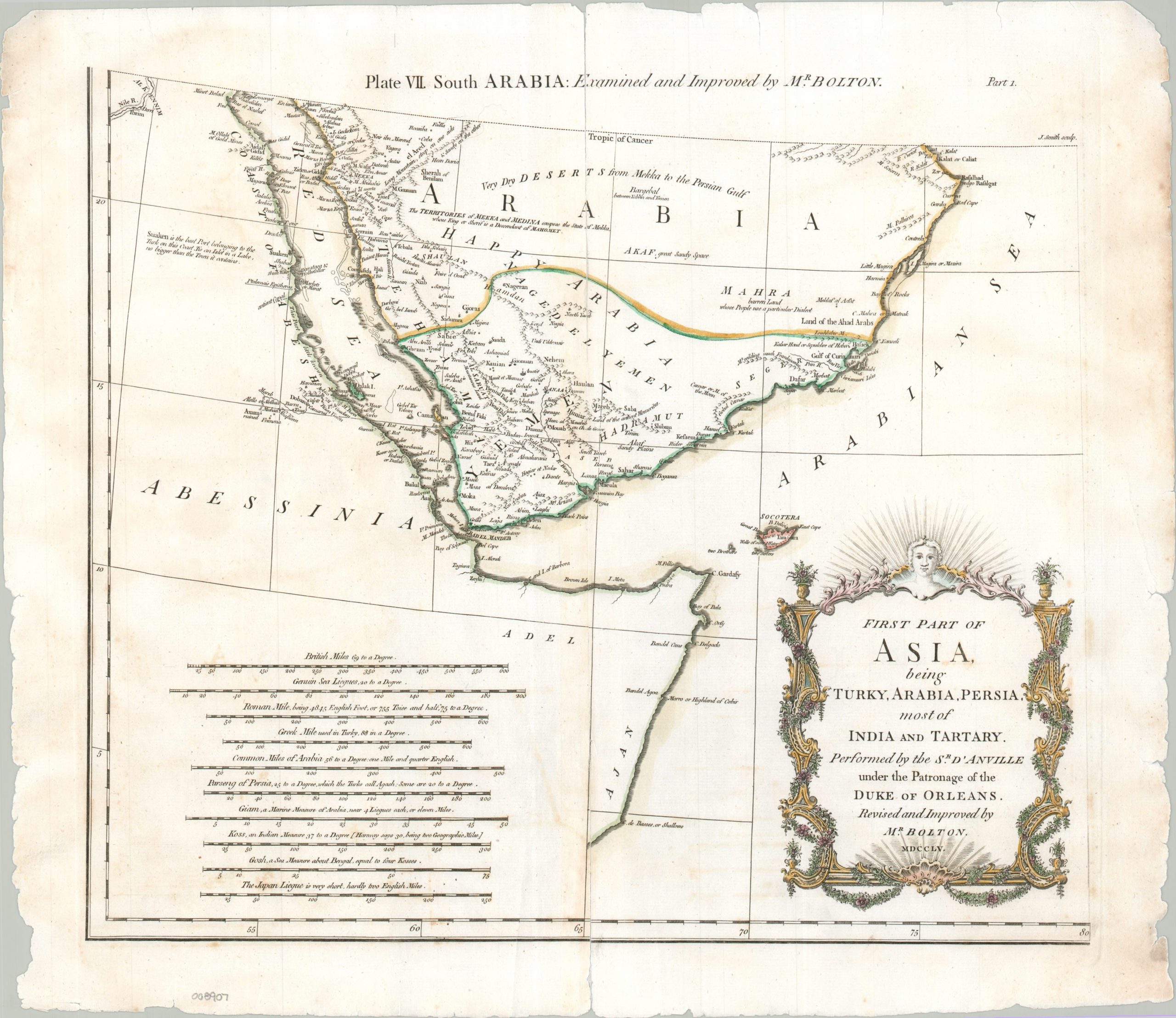
First Part of Asia Being Turky, Arabia, Persia, most of India and Tartary. Plate VII. South Arabia
$135.00
The area around the Red Sea and Gulf of Aden during the mid-18th century
1 in stock
Description
This interesting Antiqua map of the southern Arabian Peninsula and adjacent coast of East Africa was published in 1755, originally as part of Solomon Bolton’s multi-sheet wall map of Asia. Scores of toponyms and a handful of annotations identify a fascinating variety of trading posts, historic sites, and fortified cities. Of particular interest are the holy city of Mekka (alongside nearby Mt. Arafat), the “ruined” ancient capital of Axum, Ibrim situated along the Nile, Aden, and Mokka – the undisputed global coffee capital of the era. European imperial and economic interests are reflected throughout, with speculative gold mines, “mountains yielding much frankincense,” and the wealthy Turkish port at Suaken all serving as notable examples.
Map Details
Publication Date: 1755
Author: Solomon Bolton
Sheet Width (in): 19.50
Sheet Height (in): 17.00
Condition: B
Condition Description: Single sheet (only one of eight total) that has formly split down the centerfold. repairs on verso with archival tape. Moderate offsetting, marginal tearing (largely repairs) and a bit of scattered foxing. Fair to good condition overall.
$135.00
1 in stock