Map of the United States Drawn from the most approved Surveys
$350.00
American expands west during the mid-1820s.
1 in stock

Description
This detailed map of the fledgling American Republic was engraved by G.W. Merchant and published in New York by Solomon Schoyer in 1826. According to the David Rumsey Map Collection, the image is a direct, but reduced version of Anthony Finley’s edition, issued slightly earlier. Original hand color outlines the territorial extent of twenty-four states and the Florida, Northwest, Arkansas, Michigan, and Missouri Territories, the last of which extends well beyond the Rocky Mountains in the west.
Topography is depicted pictorially, highlighting several mountain ranges including the Ozarks and Alleghenies. Native American tribes, frontier fortifications, and various physical features are labeled. Also of interest is the Erie Canal, which began operations the year prior to publication and completely reshaped the economy of the Midwest. Portions of Spanish Mexico and British Canada are also included within the image, but reflect a dearth of geographic information and place names. An interesting overview of the United States as it moved gradually westward during the 19th century.
Map Details
Publication Date: 1828
Author: Solomon Schoyer
Sheet Width (in): 20.9
Sheet Height (in): 17.2
Condition: B
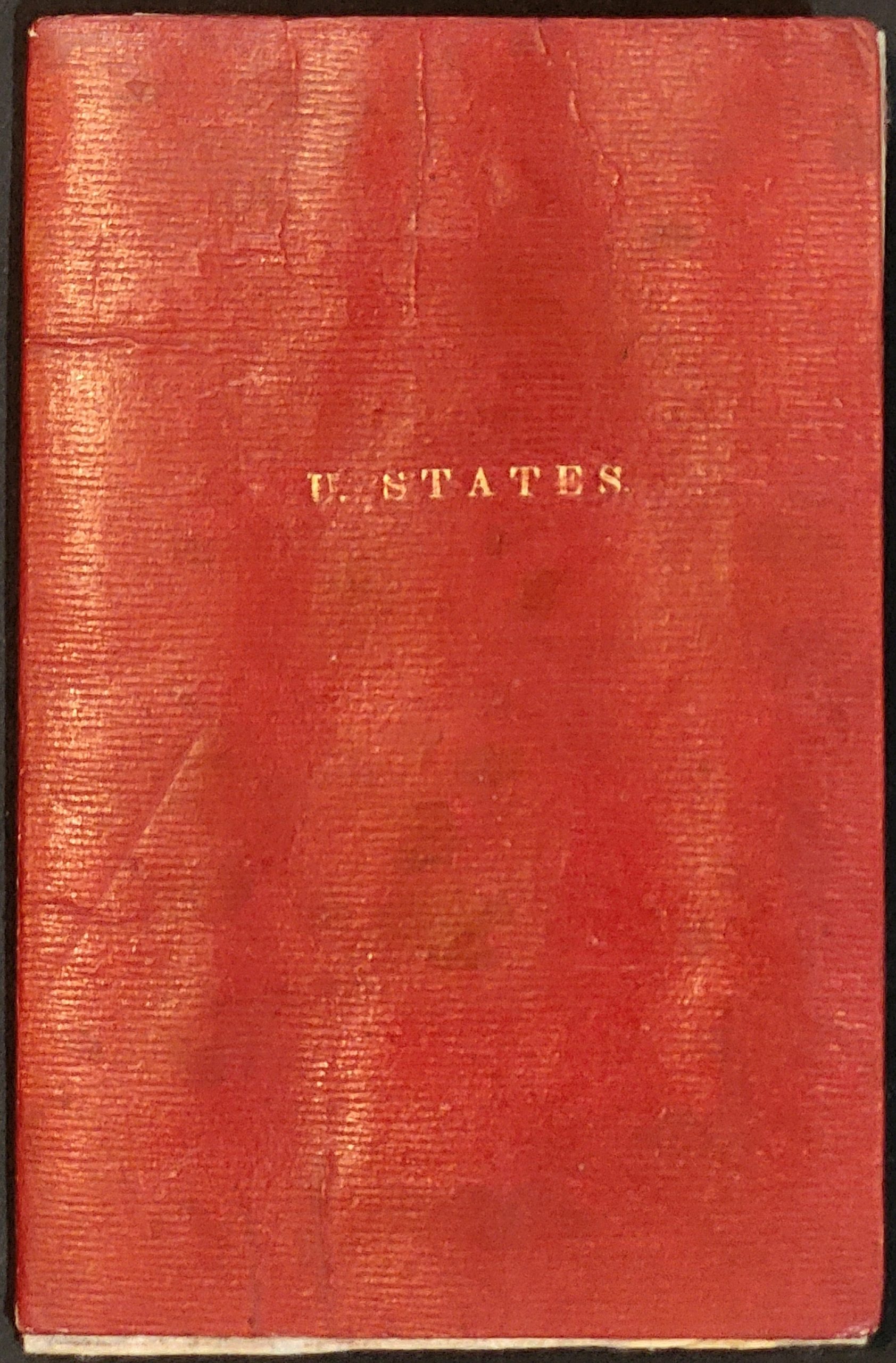
Condition Description: A moderately toned sheet is folded into 18 segments and affixed to original red covers. Heavy wear and minor image loss along old creases, repaired on the verso with archival tape. Several areas exhibit faint discoloration and soiling, but the sheet remains strong and securely bound. About good condition overall.
$350.00
1 in stock