
Futterer’s Universal Eye-O-Graphic Bible Atlas
4,000 Years’ History Visualized in One Hour!
Out of stock


Description
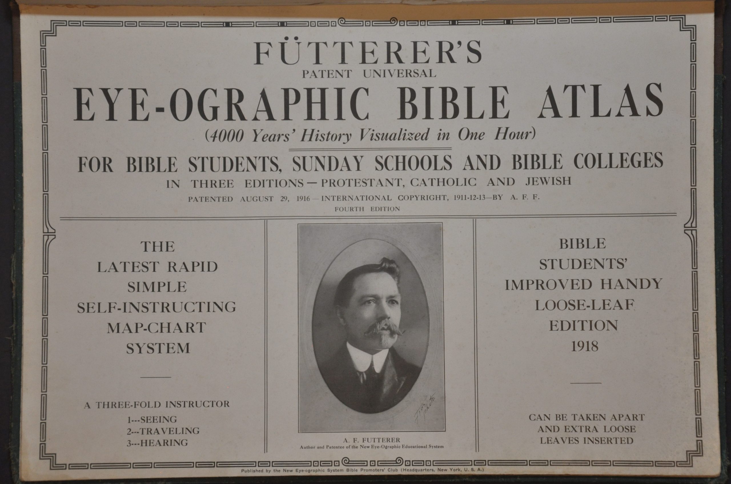
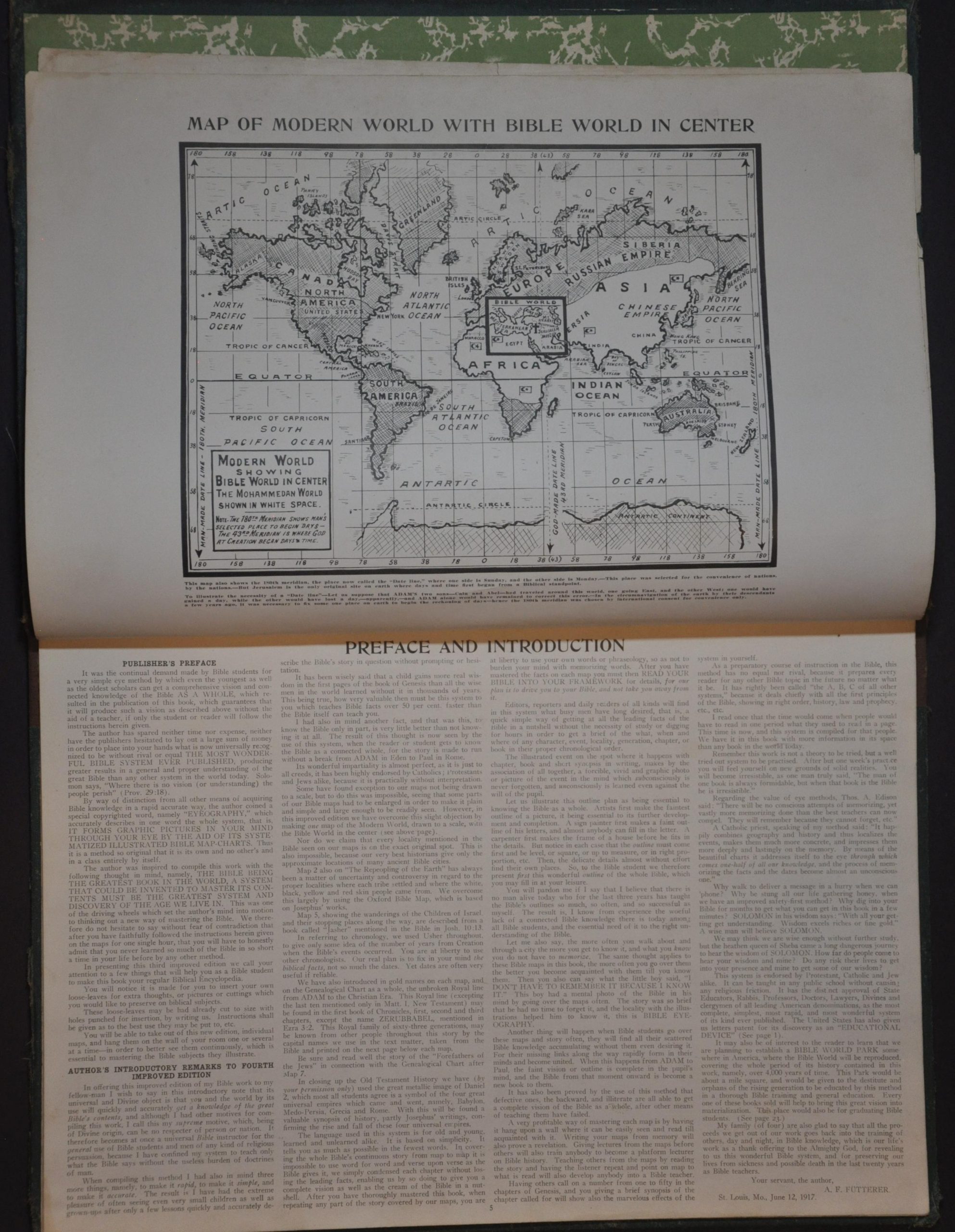
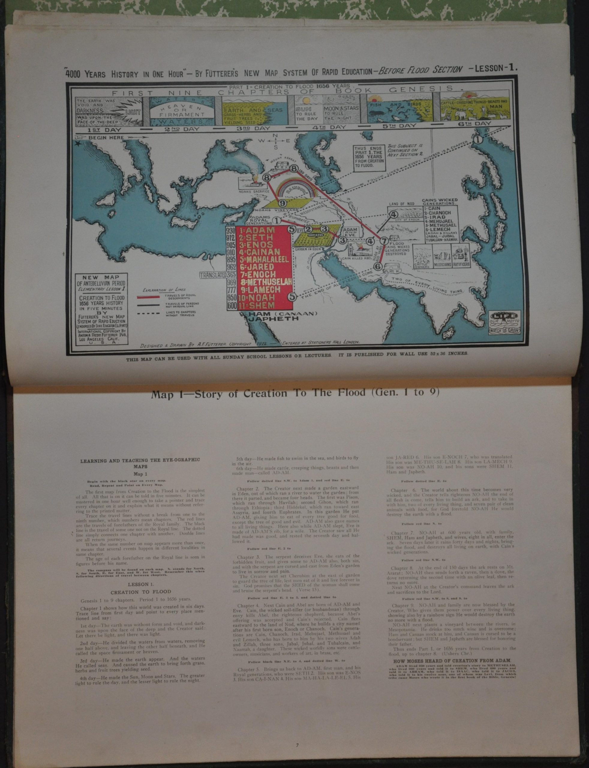
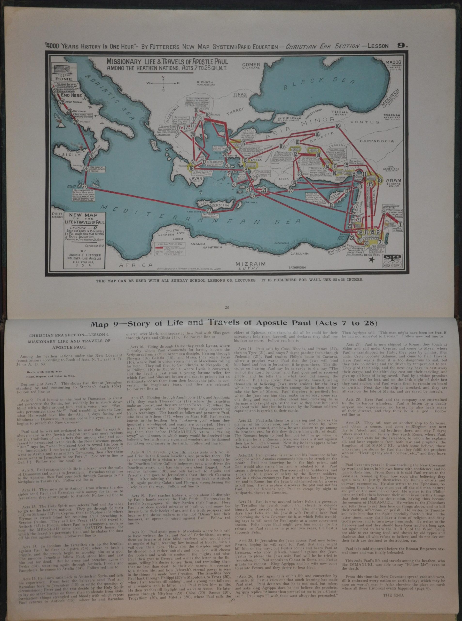
This self-described ‘latest rapid simple self-instructing map chart system’ was patented by the scholar/adventurer Antonia Frederick Futterer and published in 1918 by the New Eye-ographic System Bible Promoters Club. It claims to offer THE MOST WONDERFUL BIBLE SYSTEM EVER PUBLISHED by leveraging a chronological series of maps combined with narrative descriptions that use the Bible as a primary source. Even useful in teaching ‘defective ones, the backward, and illiterate’ according to the preface.
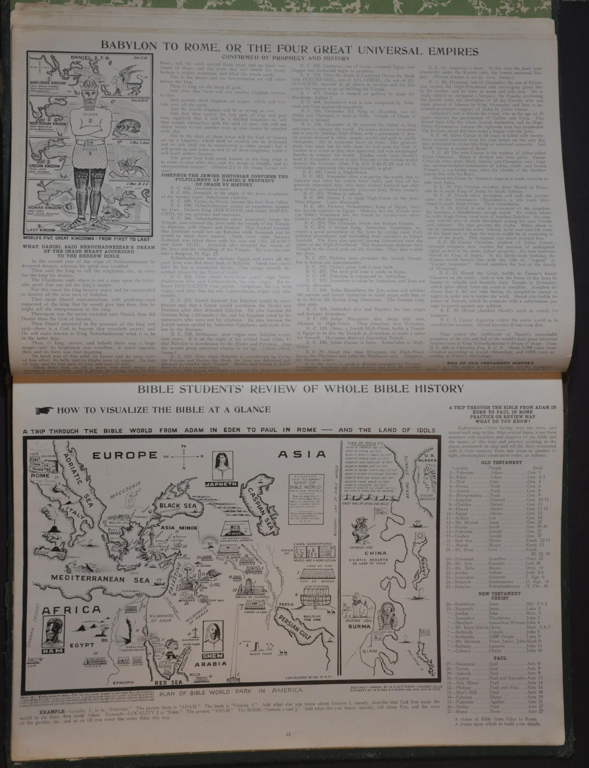
Over a dozen maps (most single-page), charts, and genealogy diagrams outline an interesting variety of Biblical principles, including the Four Great Universal Empires, the Twelve Tribes of Israel, etc. The author of the volume, Antonia Frederick Futterer, was a Methodist minister and adventurer born in the late 19th century, known for his passionate interest in biblical archaeology. Inspired to ministry by a near-death experience, he traveled extensively in the Middle East searching for the Ark of the Covenant and may be one of the inspirations behind the character of Indiana Jones. Upon returning to the United States, he founded the Holyland Exhibition in Los Angeles, California, in the 1920s to showcase artifacts and replicas from his travels – it can still be visited today.
Though all versions of the Eye-OGraphic atlas are scarce, this 1918 (4th) edition appears to be the most common. It is listed in fewer than 10 institutions (mostly theological) across four different listings in WorldCat.
Sources: OCLC# 13562192, 503322581, 57694387, 1430456383; LA Times; PBS SoCal; VICE;
Map Details
Publication Date: 1918
Author: Antonia Frederick Futterer
Sheet Width (in): 16.75
Sheet Height (in): 11.5
Condition: B
Condition Description: 32 pp. atlas oriented to the fore-edge, with riveted binding and original green cloth covered boards. Both covers are heavily worn and soiled, with the title page showing a large rip repaired with old and discolored cellophane tape, as well as a chipped lower right corner (see photo). Otherwise, the complete contents are tightly bound and in good shape, with 11 full-page color maps and several small inset maps and diagrams. A handful of dirty fingerprints, creased corners, and other signs of age and use. About good condition overall.
Out of stock