U.S. Midwest
Showing 1009–1026 of 1692 resultsSorted by latest
-

C. & N.W. Ry. Balaton Minn.
$95.00 Quick View -
Sold Out
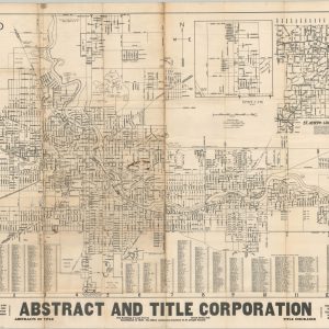
South Bend and Mishawaka
Quick View -
Winnebago County Road Map
$50.00 Quick View -
Sold Out
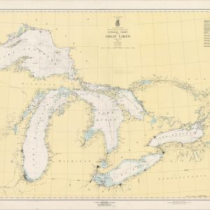
General Chart of the Great Lakes
Quick View -
Sold Out
Map of the Scenic Region in the Counties of Sauk, Columbia, Adams, Marquette, Juneau, Dane Wisconsin…
Quick View -
Sold Out
Flood Map of Louisville, Kentucky
Quick View -
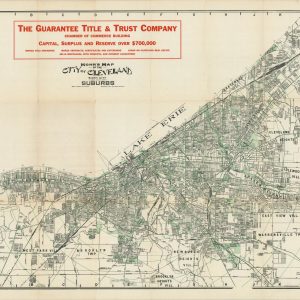
Mohr Map of the City of Cleveland Sixth City and Suburbs
$95.00 Quick View -
Rand McNally Official 1919 Auto Trails Map District Number 8 Southern Wisconsin Northern Illinois
$250.00 Quick View -
Map of the West Shore Railroad and Connections
$200.00 Quick View -
Milwaukee, Wisconsin
$95.00 Quick View -
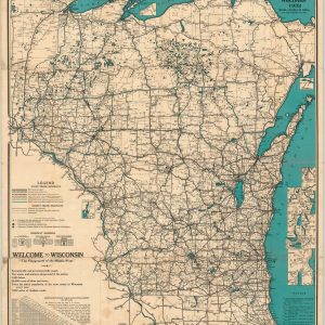
Official Highway Map of Wisconsin 1932
$60.00 Quick View -
Road Map of Lenawee County, Michigan
$50.00 Quick View -
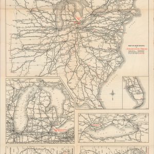
Map of Main Routes to Ambassador Bridge
$75.00 Quick View -
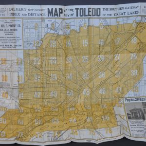
Dreher’s New Improved Index and Distance Map of the City of Toledo
$95.00 Quick View -
Road Map of Ozaukee County, Wisconsin [Title on Cover]
$75.00 Quick View -
Road Map of Price County, Wisconsin [Title on Cover]
$75.00 Quick View -
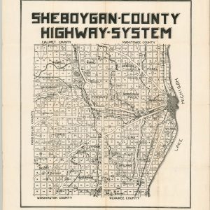
Sheboygan County Highway System
$75.00 Quick View -
Sold Out
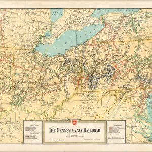
The Pennsylvania Railroad
Quick View


![Road Map of Ozaukee County, Wisconsin [Title on Cover]](https://curtiswrightmaps.com/wp-content/uploads/map_06-11-2018_300dpi_8.44x14.05_inv3864c-1-300x300.jpg)
![Road Map of Price County, Wisconsin [Title on Cover]](https://curtiswrightmaps.com/wp-content/uploads/map_06-11-2018_300dpi_11.93x16.29_inv3863c-300x300.jpg)
show blocks helper