Road Map of Price County, Wisconsin [Title on Cover]
$75.00
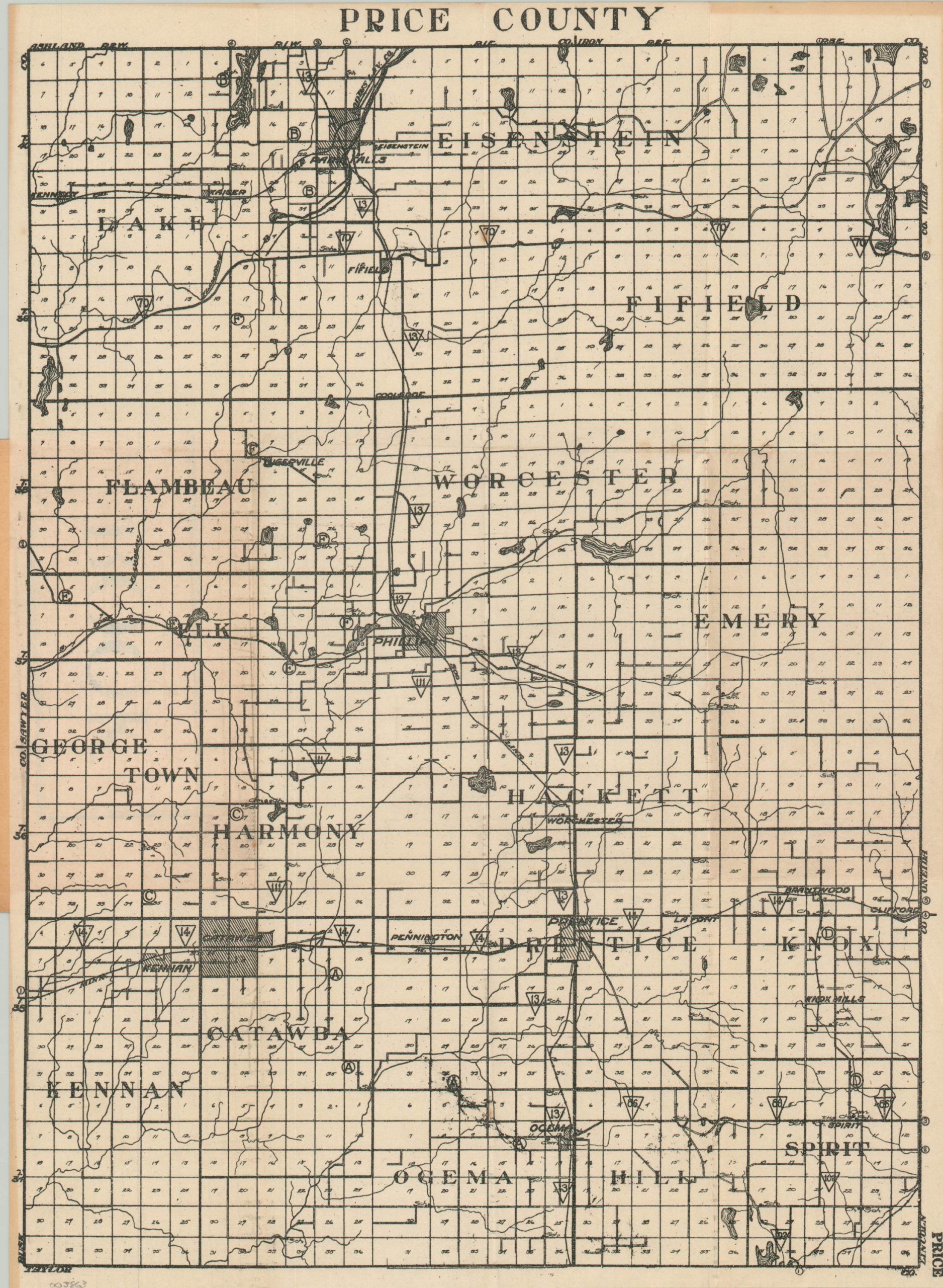
Mid-1920s pocket map of Price County, Wisconsin.
1 in stock
Description
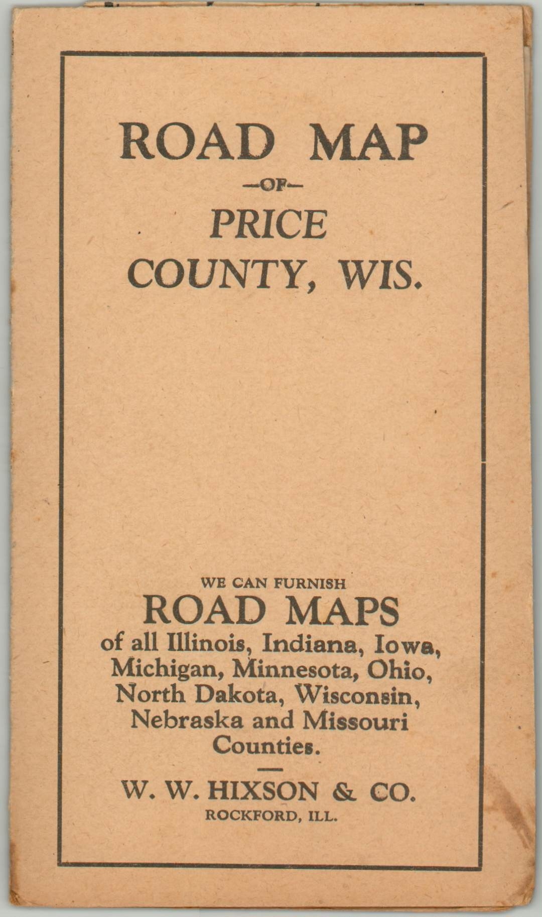
This interesting road map of Price County, Wisconsin was published in Rockford, Illinois by W.W. Hixson & Company around 1927. An advertisement on the front cover indicates that the firm produced “road maps of all Illinois, Indiana, Iowa, Michigan, Minnesota, Ohio, North Dakota, Wisconsin, Nebraska, and Missouri Counties.”
The image shows a basic outline of the state highways in operation, identified using a system of numbers and letters that was established in 1917 – the first such numbered highway system implemented in the United States. Townships are numbered and settlements, including Price, the county seat, are individually labeled. Lakes and rivers are also identified, but otherwise, the amount of information is relatively limited.
Map Details
Publication Date: c. 1927
Author: W.W. Hixson & Company
Sheet Width (in): 11.6
Sheet Height (in): 15.3
Condition: A-
Condition Description: Pocket map that folds into 9 segments and is affixed to original stiff paper covers. Creased along fold lines and light discoloration along outer edges of the sheet. Very good overall.
$75.00
1 in stock


