Rand McNally Official 1919 Auto Trails Map District Number 8 Southern Wisconsin Northern Illinois
$250.00
Innovations in the numbered highway system visualized by Rand McNally.
1 in stock


Description
This incredible piece of early motorist cartography was published in Chicago by Rand McNally in 1919. Automobile routes across southern Wisconsin and northern Illinois are boldly marked and divided into trails and main auto roads. The difference in naming conventions between Wisconsin (numbered highways) and Illinois (marked trails) is evident and discussed further below. Populations are given for each town within the image and local amenities for drivers such as garages, restaurants, and hotels are named in red.
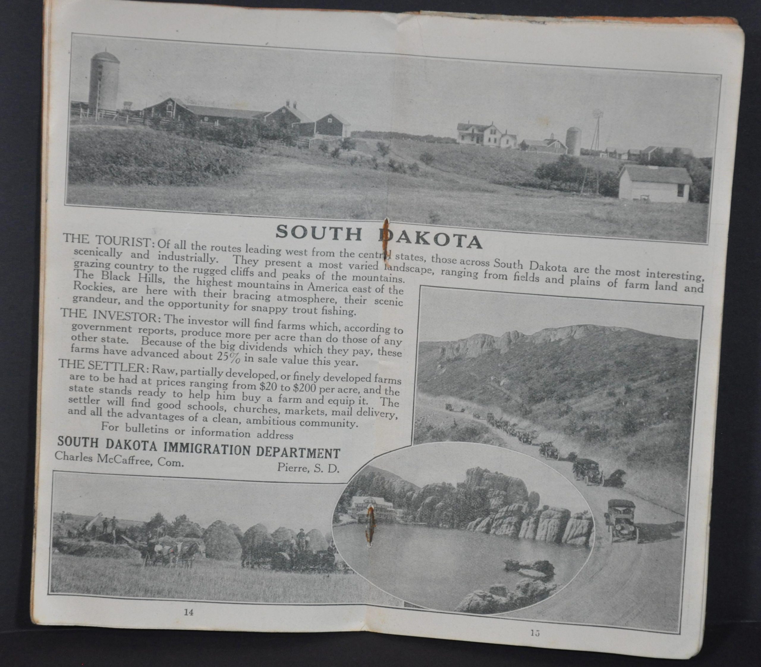
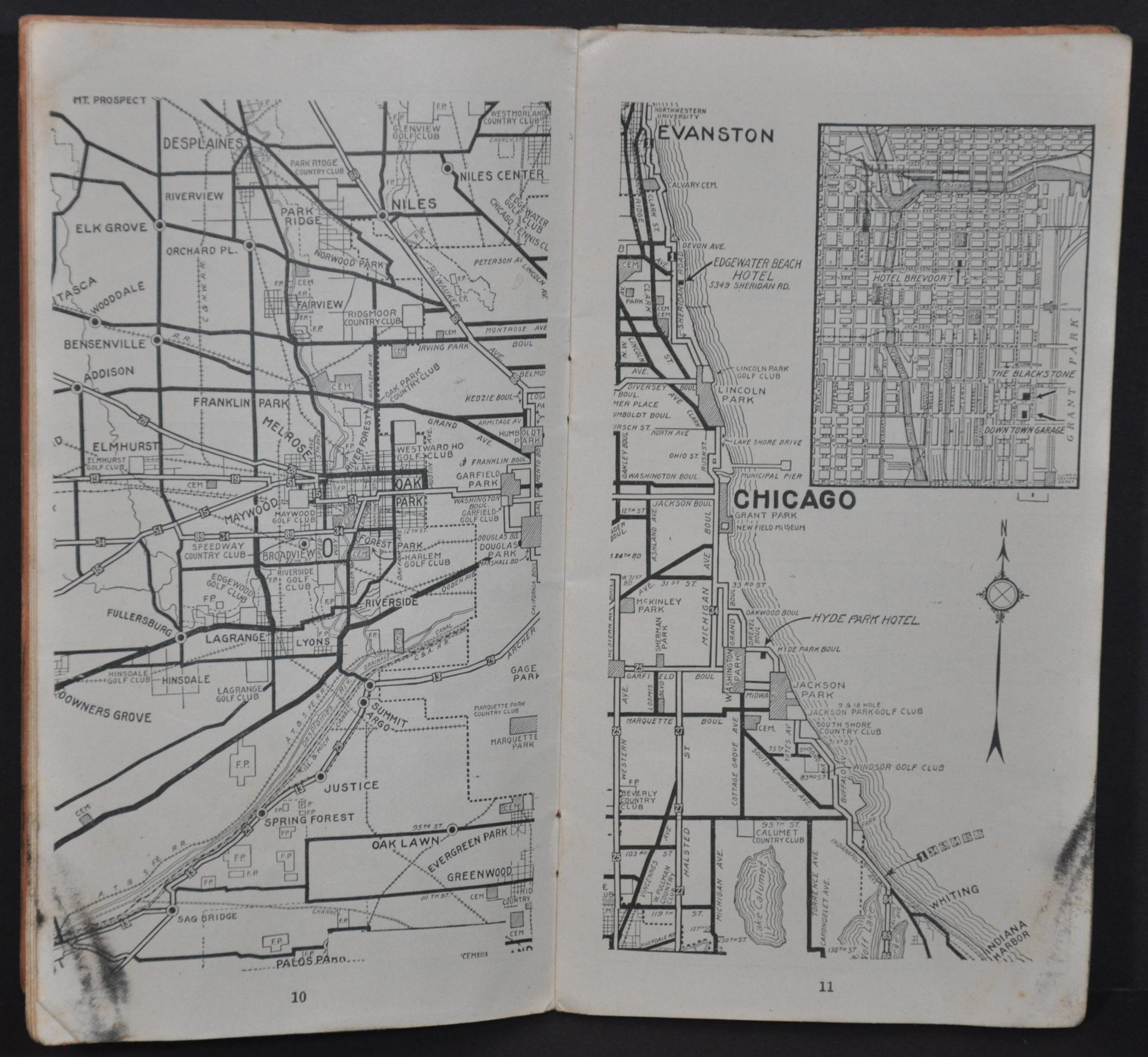
The map is attached to a 28-page guidebook that features inset maps of major urban areas, contemporary advertisements, and a fascinating double-page message from the South Dakota Immigration Department. The year prior to publication, the state of Wisconsin had enacted the first legislation in the United States to create a system of numbered highways. These centrally organized routes were designed to replace the proliferation of ‘marked’ highways overseen by various independent groups and organizations. According to Christopher Bessert;
“By the mid-1910s, the proliferation of “marked” highways was reaching crisis proportions. Countless automobile clubs, tire companies, oil companies and tourist associations erected signs along randomly-chosen routes. Sometimes these routes would veer far from the best or most direct path only to pass through a city which paid a fee to have the marked route run though the center of town. Wisconsin was home to many of these so-called “auto trails.”
In 1917, the Wisconsin State Legislature enacted a law which prohibited the marking and posting of any “trails” within the state without prior authorization from the state. By 1919, there was only one such “trail,” the Yellowstone Trail, marked within the state. (Various “auto trails” existed in other parts of the country through the mid-1920s, however.) As a replacement for the multitude of marked auto trails, the Wisconsin legislature, under Chapter 175, Laws of 1917, authorized the creation and signing of a numbered highway system, with the State Highway Commission as the overseeing agency.
By late 1917, with all surveys and field reconnaissance completed, the State Highway Commission laid out a system of 5,000 miles of numbered state highways on paper. During one week in May of 1918, all route designation signage was erected and Wisconsin became the first in the world with a signed system of route-numbered highways.”
Source: Wisconsin Highways History.
Map Details
Publication Date: 1919
Author: Rand McNally
Sheet Width (in): 21.5
Sheet Height (in): 27.75
Condition: B
Condition Description: Folding map affixed to a 28 pp. guidebook with stapled binding and original rust-colored paper covers. One staple is missing and the wraps are heavily soiled. Contents are generally very good, with toning and soiling consistent with age and use. The map shows moderate wear along its fold lines, including several areas of discoloration (most evident along the sides near the lower center). Several quarter sized spots in the upper right. A few edge tears also present. Despite the defects, the map and book remain complete and in fair to good condition overall.
$250.00
1 in stock