Milwaukee, Wisconsin
$95.00
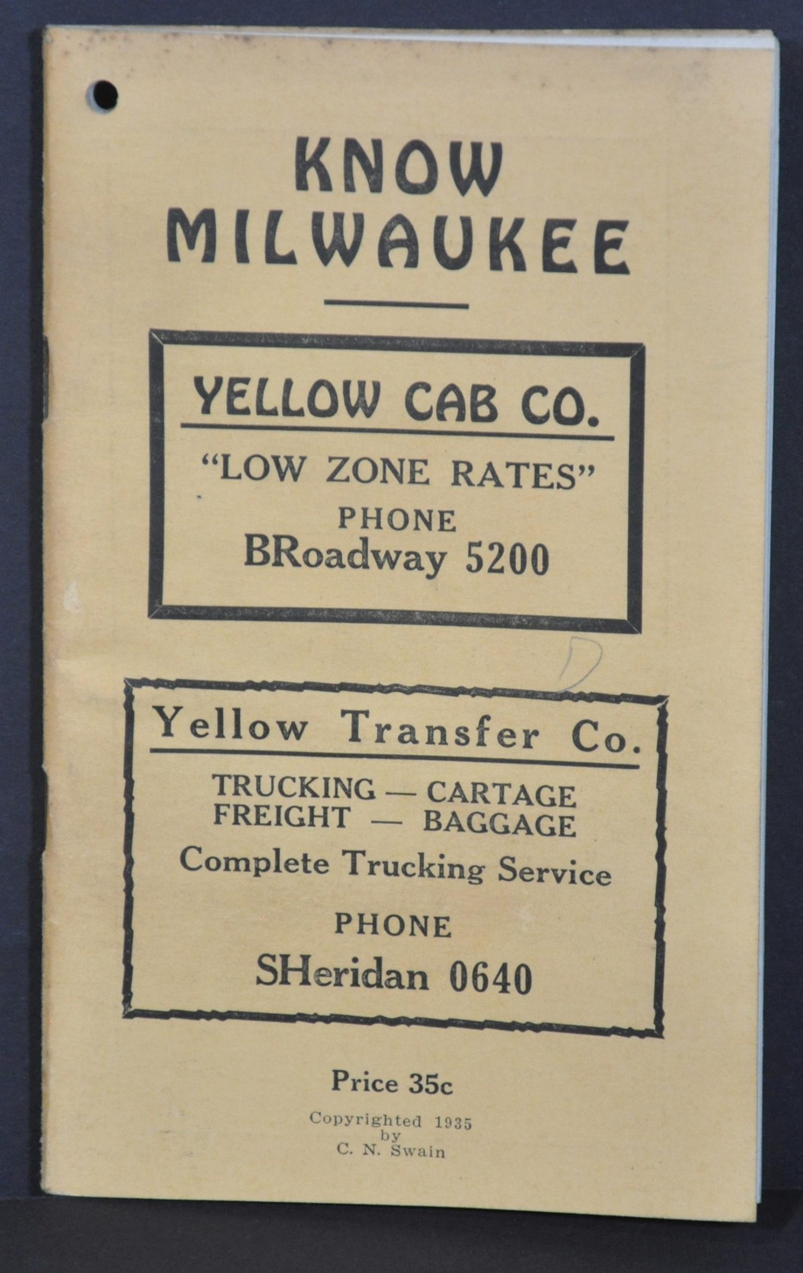
Use Yellow Cab to get around Milwaukee – ‘It’s a Dollar Ride for a Quarter!’
1 in stock

Description
This detailed street plan of Milwaukee, Wisconsin was published by the Western Map Company in 1935 to promote the local transportation services offered by the Yellow Cab Company. Operational zones which correspond to fare rates are outlined in red, with further details on cost provided near the lower right. The map also shows the routes of streetcars and bus lines, route numbers, parks, cemeteries, public buildings, and more.
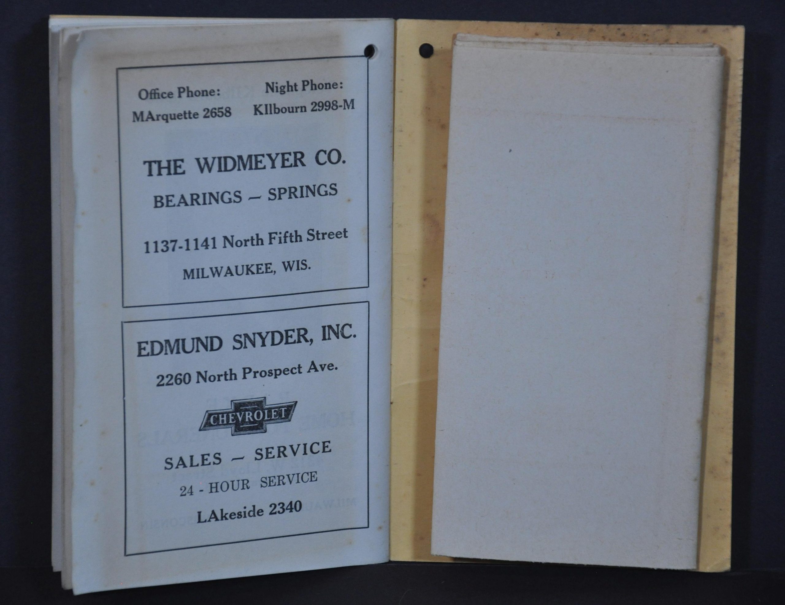
A comprehensive street index comprises the border of the sheet, which folds into a 30-page pocket directory of Milwaukee copywritten by C.N. Swain. It includes a list and locations of important buildings, statistics, local advertisements, mileage charts, and transportation schedules.
Map Details
Publication Date: 1935
Author: C.N. Swain
Sheet Width (in): 18.5
Sheet Height (in): 25
Condition: A-
Condition Description: Folding map affixed to the 30 pp. guidebook with yellow paper covers. The sheet is toned throughout, a little darker along the fold lines. Small tear in the upper right has been repaired on the verso and is confined to the margin. Contents of the guidebook are generally quite good, with light scattered soiling and wear consistent with age and use.
$95.00
1 in stock