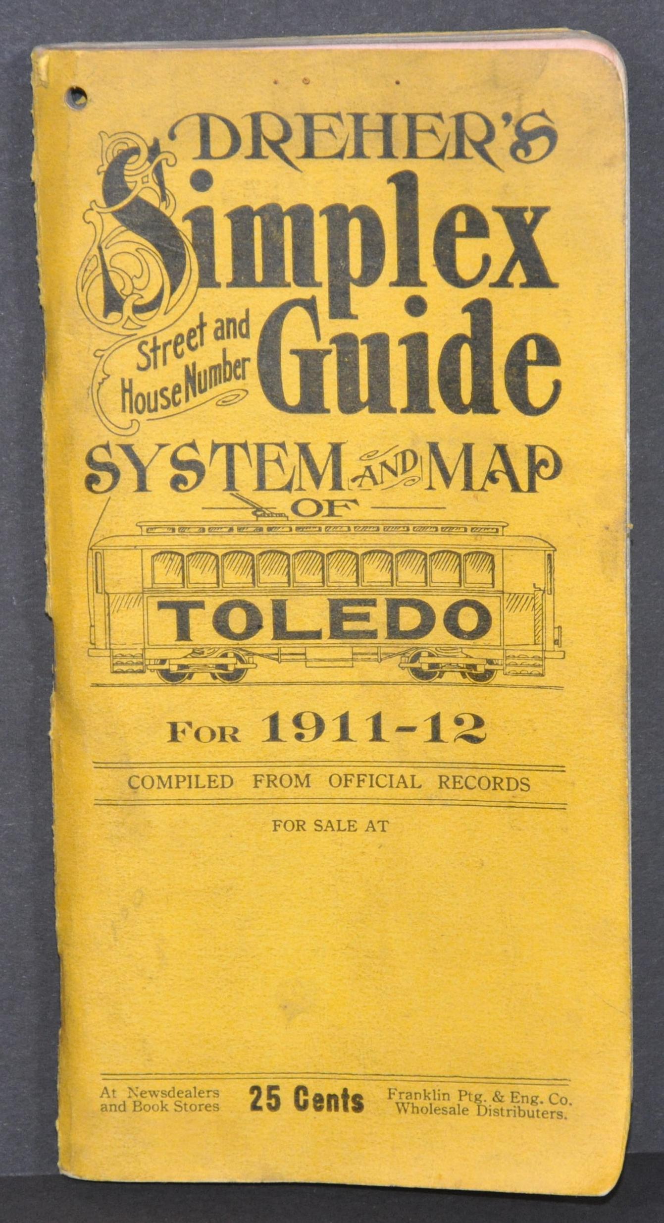
Dreher’s New Improved Index and Distance Map of the City of Toledo
$95.00
Comprehensive tourist guide to Toledo, Ohio from the early 20th century.
1 in stock

Description
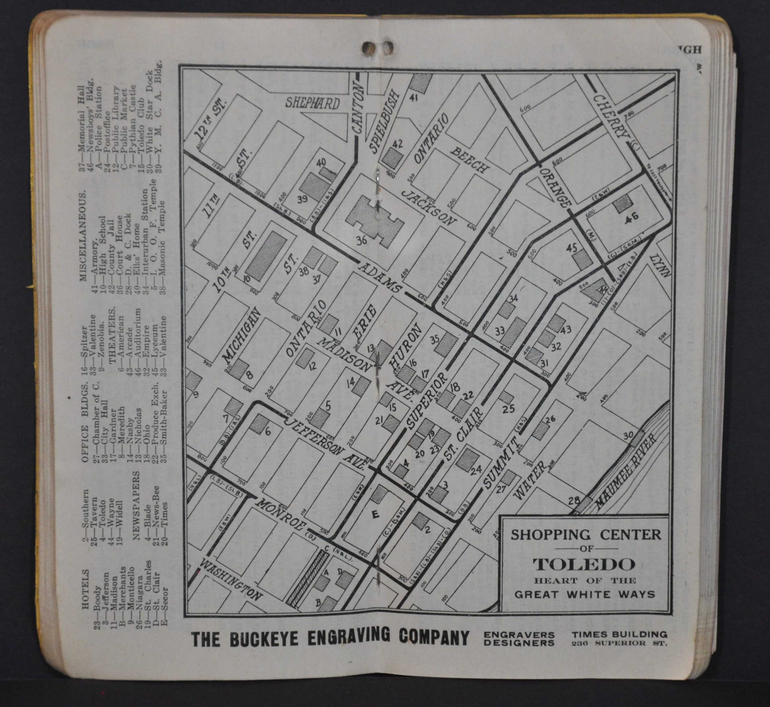
This detailed city plan of Toledo, Ohio shows a fascinating snapshot of ‘The Southern Gateway of the Great Lakes’ in the early 20th century. A legend in the upper left identifies the various lines used to present city car lines, interurban railroads, steam railroads, and the city limits (highlighted in yellow).
Wards are also individually outlined and numbered. Various locations of interest are labeled throughout the image; including parks, public buildings, cemeteries, geographic features, and transportation depots. The map is affixed to the back of a 152-page guidebook to the city. It includes an exhaustive street index, numerous contemporary advertisements, descriptions of important sites, and much more.
Published in Toledo, Ohio by D.F. Dreher & Company in 1911. Engraving by the Buckeye Engraving Company with printing performed by The Franklin Printing and Engraving Company (also both of Toledo).
Map Details
Publication Date: 1911
Author: D. Frank Dreher
Sheet Width (in): 21.25
Sheet Height (in): 18
Condition: A
Condition Description: 152 pp. guidebook to Toledo, Ohio bound in original yellow paper wraps. Contents are slightly soiled and toned around the outer edges. One hole punch through all pages (except the map) in the upper corner. Includes folding map that shows very minor edge wear and small holes at fold intersections. Very good or slightly better overall.
$95.00
1 in stock