
Mohr Map of the City of Cleveland Sixth City and Suburbs
$95.00
Detailed WWI-era city plan of Cleveland, Ohio.
1 in stock
Description
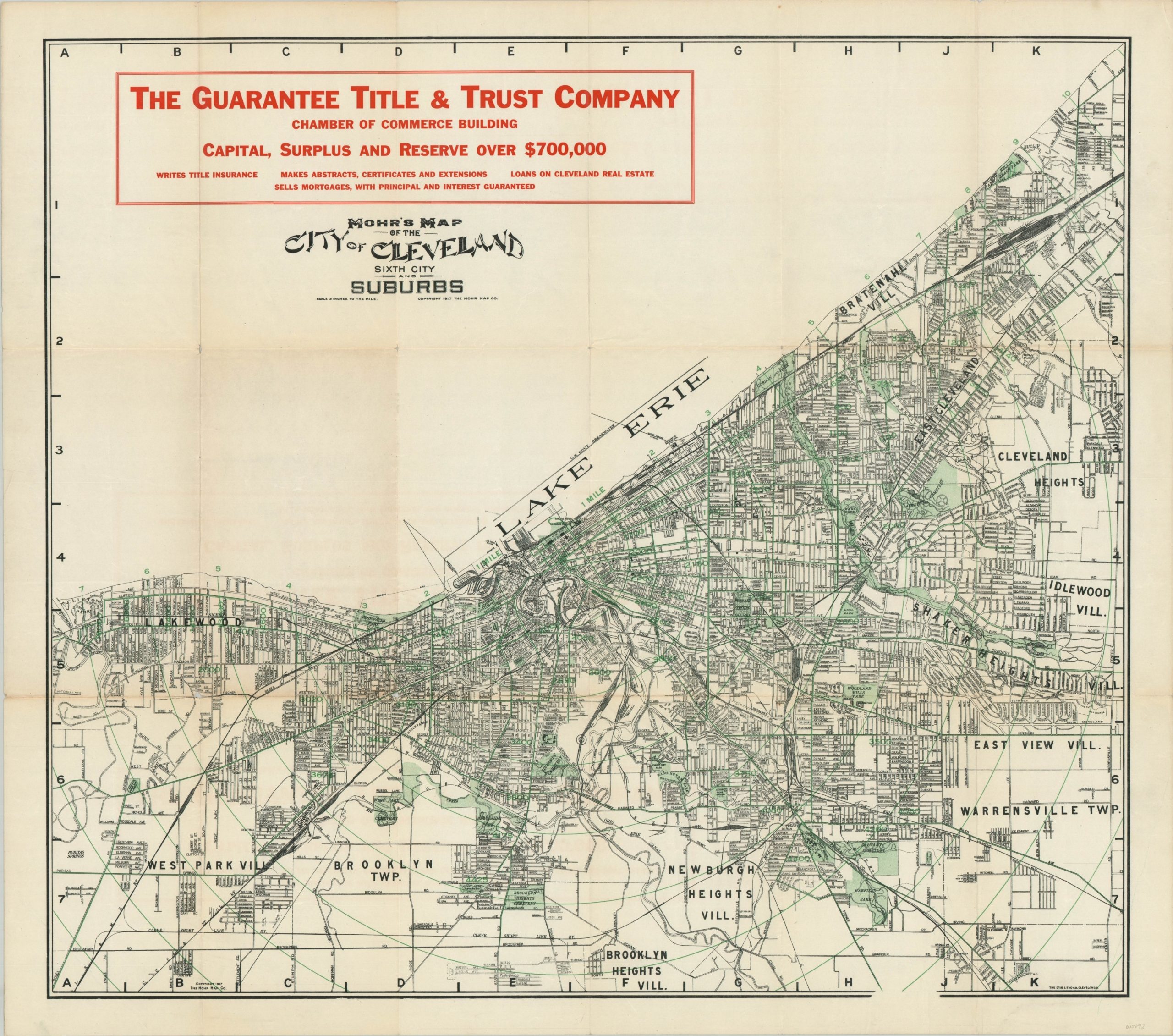
This intricate street plan of Cleveland, Ohio was published locally by The Mohr Map Company in 1917. It shows the ‘Sixth City’ (an antiquated nickname based on the city’s population) along the shores of Lake Erie with clarity and legibility. Concentric circles radiate from downtown in one-mile increments to the boldly labeled outer suburbs and neighborhoods. Interurban routes are highlighted in green; along with parks and cemeteries.
A bold advertisement in the upper left highlights The Guarantee Title & Trust Company. The map was published during a period of tremendous industrial and cultural growth for the city and reflects new parks (the Cleveland Mall), institutions (Museum of Art), and other attempts at urban beautification.
Map Details
Publication Date: 1917
Author: John Mohr
Sheet Width (in): 33.5
Sheet Height (in): 30.75
Condition: B+
Condition Description: Missing original paper wraps. Moderately creased and worn along former fold lines, including small holes at fold intersections, faint discoloration, and about 6" of separation that has been repaired on the verso. Good to very good condition overall. Blank on verso.
$95.00
1 in stock