U.S. Midwest
Showing 991–1008 of 1692 resultsSorted by latest
-
 Sold Out
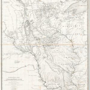
Hydrographical Basin of the Upper Mississippi River
Quick View -
Sold Out
Mitchell’s Map of the United States Showing the Principal Travelling, Turnpike, and Common Roads…
Quick View -
Sold Out
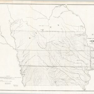
Map of the Surveyed Part of Iowa Exhibiting the Sections, Townships & Ranges [with] Iowa with Topographical Map
Quick View -
Sold Out
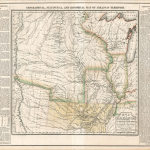
Map of Arkansas and Other Territories of the United States
Quick View -
Carte du Mississippi Depuis sa Source jusqu’a L’Embouchure de Missouri…
$1,100.00 Quick View -
Sold Out
No. 2 (C) Diagram of the State of Illinois
Quick View -
Pocket Map of Brookings County, S.D. [Title on Verso]
$95.00 Quick View -
Sold Out
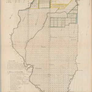
Public Surveys in Iowa
Quick View -
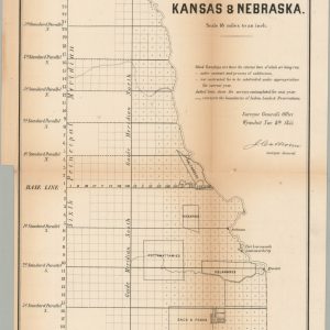
No. 1 Sketch of the Public Surveys in Kansas & Nebraska
$250.00 Quick View -
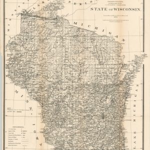
State of Wisconsin
$95.00 Quick View -
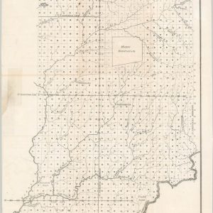
A Sketch of the Public Surveys in Indiana
$65.00 Quick View -
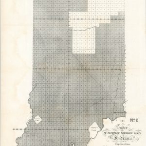
Index to Recorded Township Plats Indiana
$59.00 Quick View -
[Kansas Geologic Survey]
$95.00 Quick View -
Sold Out
[Kansas Oil Fields]
Quick View -
Map of Kenosha Harbor, Wis.
$60.00 Quick View -
Sold Out
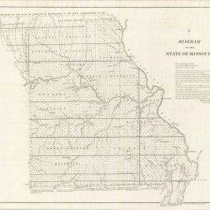
Diagram of the State of Missouri
Quick View -
Sale!
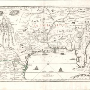
Partie Meridionale De La Riviere De Missisipi, et ses Environs dan L’Amerique Septentrionale
$10,000.00Original price was: $10,000.00.$8,200.00Current price is: $8,200.00. Quick View -
Sale!
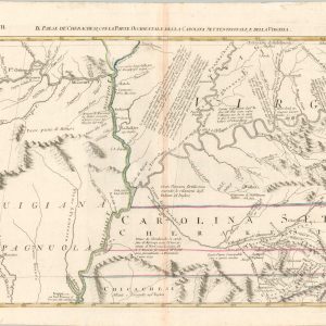
Il Paese de Cherachesi, con la Parte Occidentale della Carolina Settentrionale e della Virginia
$350.00Original price was: $350.00.$275.00Current price is: $275.00. Quick View

![Map of the Surveyed Part of Iowa Exhibiting the Sections, Townships & Ranges [with] Iowa with Topographical Map](https://curtiswrightmaps.com/wp-content/uploads/DSC_0799-1-300x300.jpg)

![Pocket Map of Brookings County, S.D. [Title on Verso]](https://curtiswrightmaps.com/wp-content/uploads/map_300dpi_17.06x22.13_inv3976c-1-e1656680445208-300x300.jpg)
![[Kansas Geologic Survey]](https://curtiswrightmaps.com/wp-content/uploads/map_300dpi_25.77x19.21_inv3923c-300x300.jpg)
![[Kansas Oil Fields]](https://curtiswrightmaps.com/wp-content/uploads/map_300dpi_15.40x21.07_inv3921c-1-300x300.jpg)

show blocks helper