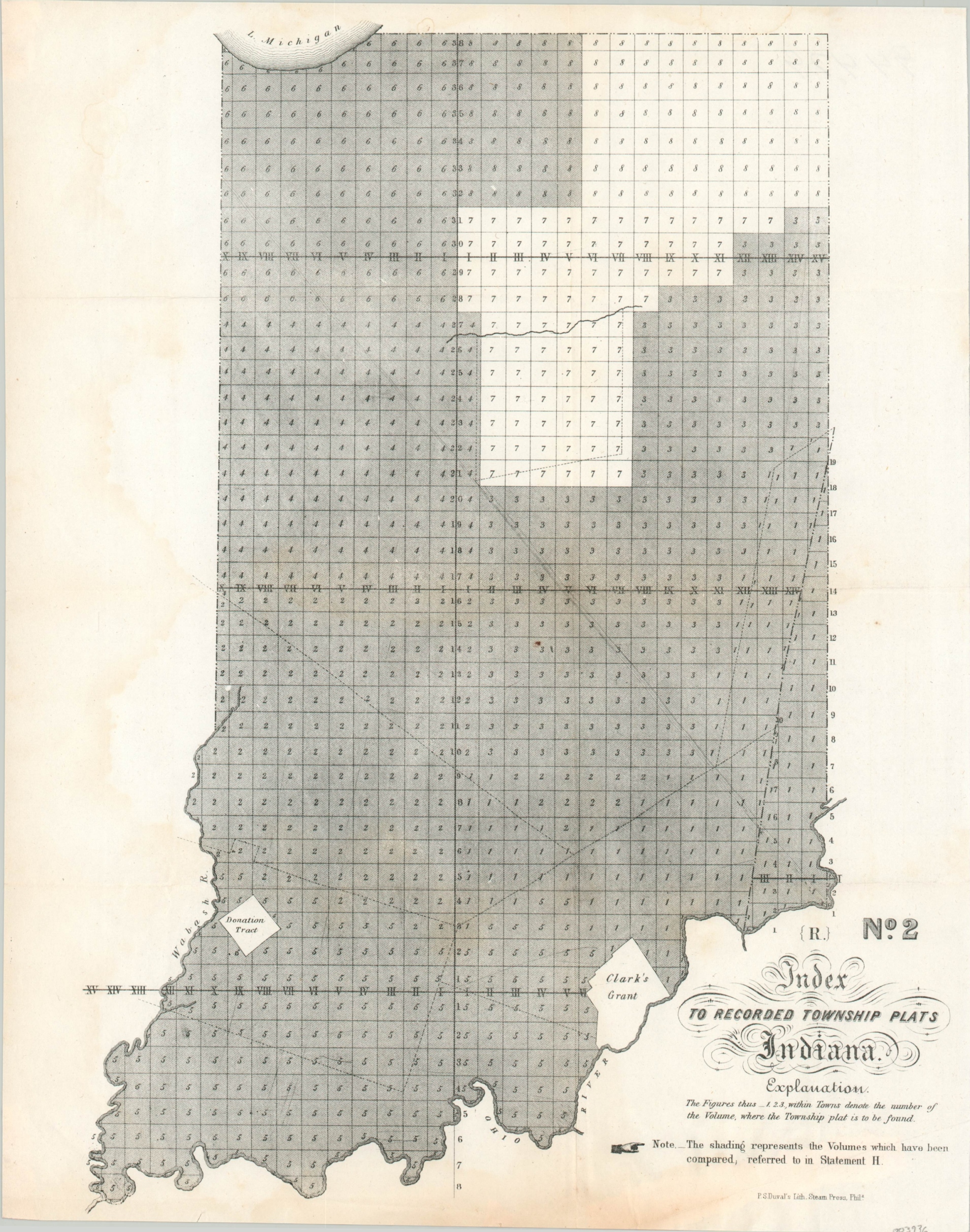
Index to Recorded Township Plats Indiana
$59.00
Recording surveys across Indiana during the mid-19th century.
1 in stock
Description
This skeletal map of Indiana served as an index to the ongoing process of township surveying and recording across the state. Numbers within each outlined township reference the corresponding map (not present) on which they can be found, while the shaded areas represent surveyed land that has been compared and validated with the latest observations and calculations.
Two notable areas, Clark’s Grant and the Vincennes Donation Tract, are left blank and represent earlier mechanisms by which land was apportioned by the federal government. Clark’s Grant, on the shore of the Ohio, was allocated by the state of Virginia to George Rogers Clark and his soldiers for their valiant efforts during the American Revolutionary War. The Donation Lands were granted by Congress in 1788 to French families who were the descendants of the original settlers.
The map was compiled by the United States General Land Office and published by Peter Duval’s steam lithograph press in Philadelphia in 1849.
Source: Clark’s Grant, Maps & Mapmaking
Map Details
Publication Date: 1849
Author: General Land Office
Sheet Width (in): 12.5
Sheet Height (in): 15.75
Condition: B+
Condition Description: Very faint damp staining visible on the left side of the sheet, confined to the margin. Light discoloration and wear visible along the bottom edge.
$59.00
1 in stock

