State of Wisconsin
$95.00
Detailed outline of Wisconsin thirty years after statehood.
1 in stock
Description
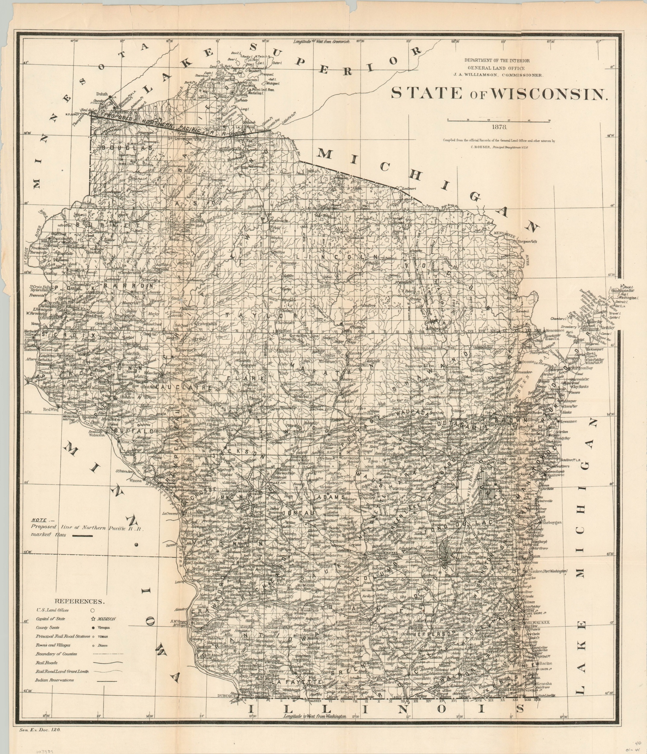
This densely informative map of Wisconsin was issued by the United States General Land Office under the authority of Commissioner J.A. Williamson in 1878, using data compiled by draughtsman C. Roeser. U.S. Land offices, towns, county boundaries, and Native American reservations are all outlined according to the legend in the lower left.
Also identified are the railroads in operation and the extent of their land grants, offered by the state legislature to assist in financing their construction. In 1850, there were only five miles of railroad in Wisconsin, but by 1880 that number had jumped to over 3,100 miles. The proposed route of the Northern Pacific Railroad is boldly shown across the northern tip of the state.
Sources: American Rails; Wisconsin Historical Society
Map Details
Publication Date: 1878
Author: J.A. Williamson
Sheet Width (in): 18.1
Sheet Height (in): 21.4
Condition: B+
Condition Description: Moderate wear along originally issued fold lines, including some minor discoloration, creasing, and about 5" of separation that has been repaired on the verso with archival tape. One small extraneous tear in the upper right just enters the plate line. Good to very good overall.
$95.00
1 in stock

